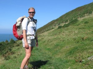
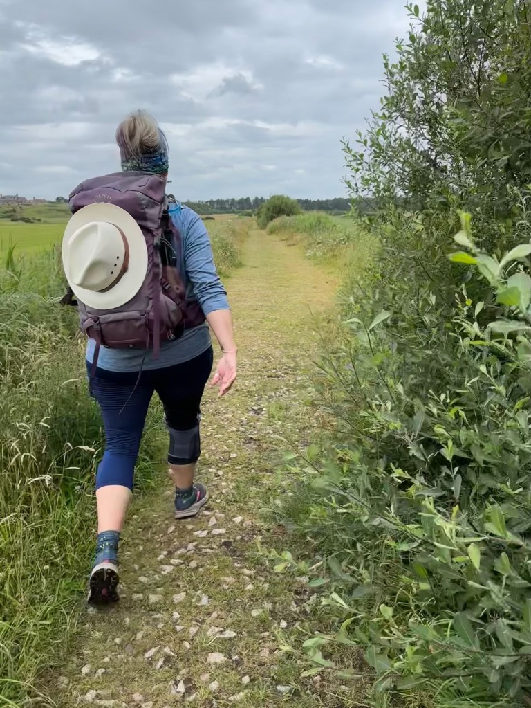
Today is day 2 of 5 on the trail for us, walking the 21km from Fochabers to our new place to stay in Craigellachie at The Highlander.
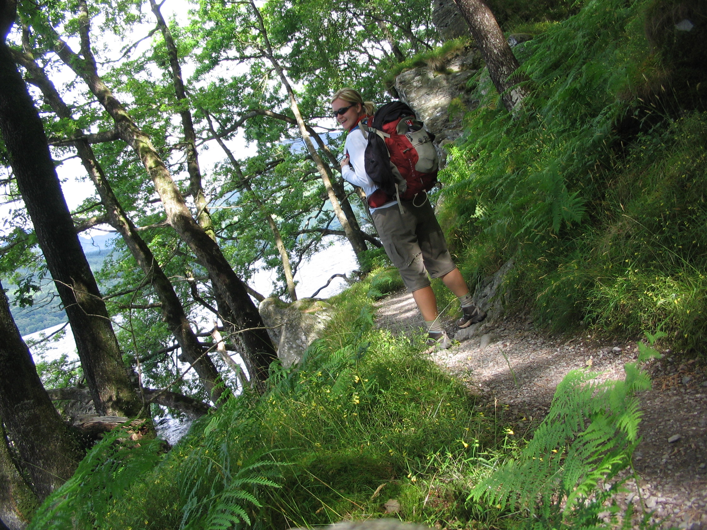
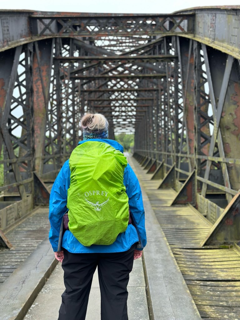
A day of classic Scottish weather for us. Aka you don’t know what you are going to get from one minute to the next but you at least know the rain is never quite done with you. Keeping on eye the trail and one on the sky today we made our way across 10km of minor roads and the rest 11km rest forest track and woodland path. Putting on and taking off our waterproofs as often as the trail switches from flat to steady incline.
We started the day back at the Speyside Way path just a couple of blocks from Gordon Arms Hotel in great, only overcast conditions. T-shirt’s and sunnies! The first long stretch of minor road was ahead of us first, about 6km I would say. A nice wide section with almost 0 cars making for easy walking and great conversation as we walked along.


From there, the path turned to take us along some farms, a fantastic country mansion (who rudely didn’t not even notice us passing or invite us in for a tour and a tea despite our thinking they most definitely should) and then into forest track for a lot of kilometers.
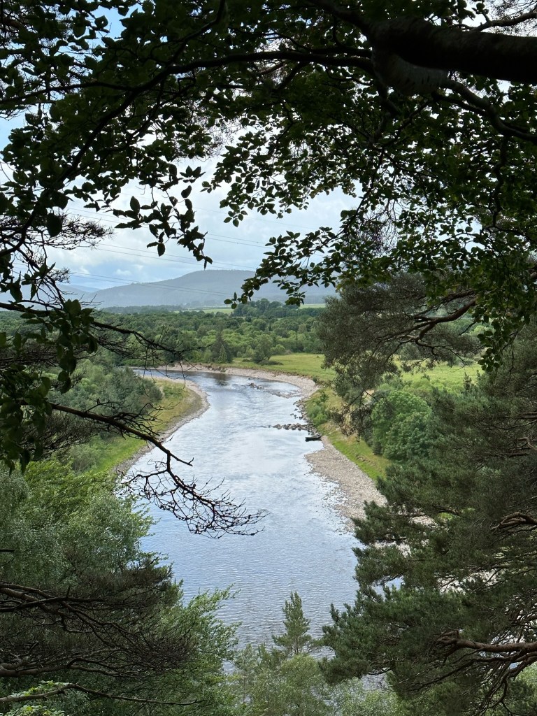
There was a great view point along route called Earth Pillars where you could look over the Speyside River and compare how it looks today with a photo from the exact spot in our guide book from 1983. Still impressive but wow so different. There was a fly fisherman in the picture and one today … thinking it’s not the same guy or has at least gone home a few times between then and now for snacks.
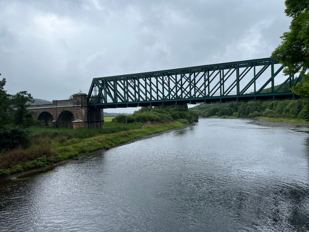
Before heading up, up, up hill into the forest we first passed Boat O’Brig Bridge. The bridge was named over 400 years ago when the bridge of the Spey River collapsed and the ferry had to float over the bridge remains .. boat over bridge. We took a micro break at this spot and even got to see a train cross this beauty.
The ever climbing, most gently and some sections not quite as gentle, took us up to the shoulder of Knock More and then Ben Aigan. Don’t be too impressed yet. Yes, a Ben is a Mountain here but they are not what our Canadian readers would consider a mountain, aka the Rocky Mountains. Ben Aigan is just 471m high. So a fantastic workout but not anything sketchy for this gal who hates heights.
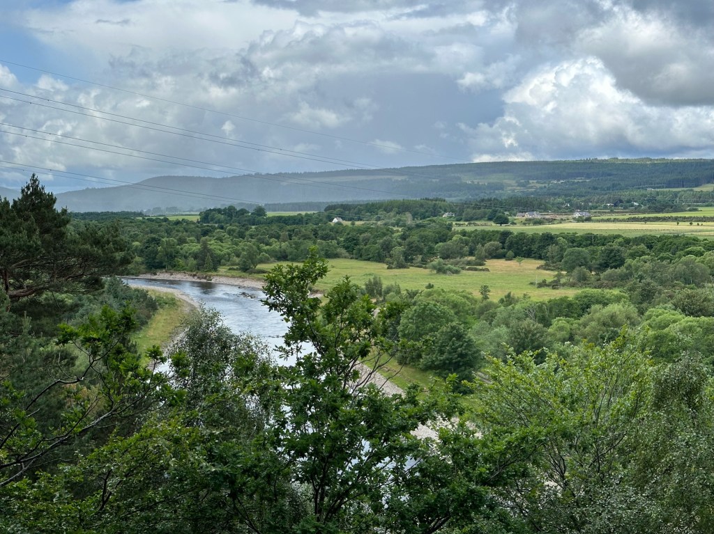
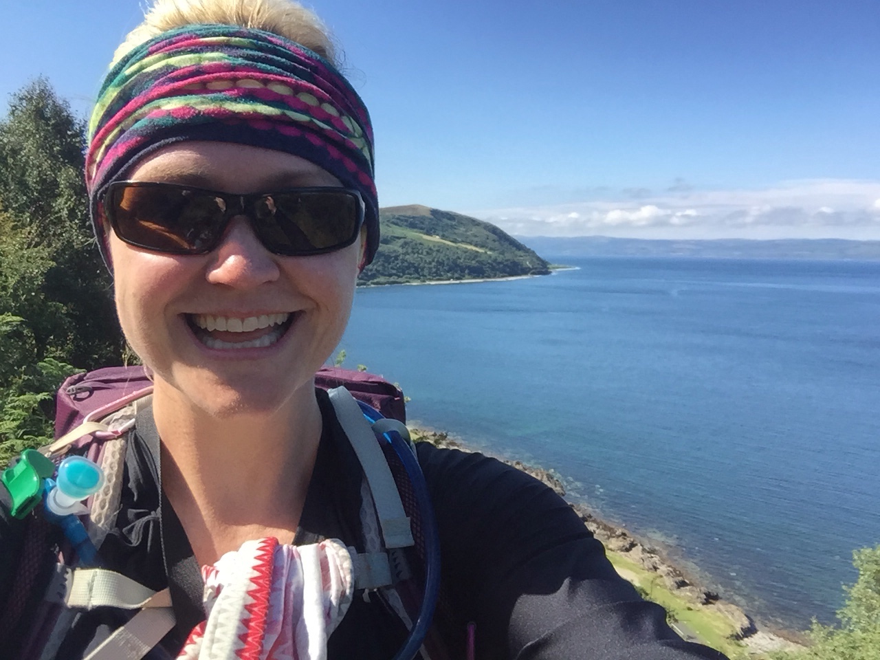
We rambled along the shoulder of Ben Aigan for quite some time rewarded with great views over lush farmland with far views of the coast where we started our day just yesterday.
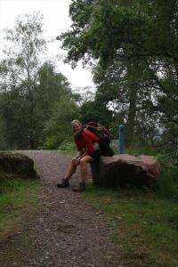
Some kind soul put a picnic table along the route tucked nicely off the track – the sun was shining as we passed so of course we had our 2-sies stop here. (2-sies is afternoon or second break and often around 2pm. Not to be confused with 11-sies which is morning break and often around 11am and may or may not be the favourite break of hobbits).
We took full advantage of the bench and break in the clouds to get the feet up, get socks dried or new dry socks on, and give my bum knee a little time off too.

From there we had a long, gentle decline along forest track and then minor road for the rest of the afternoon. This section, as warned by the guidebook, did get a little monotonous but great conversation, random dance moves, short bursts of song lyrics, taking off and putting back on rain gear, and munching on naked Skittles broke it up quite nicely.
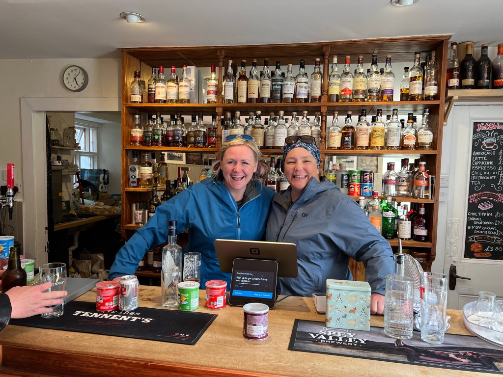
As we came back into civilization at the end of the day we stumbled upon the Fiddichside Inn. This Inn was built in 1842 and first served as a place for refreshment (think whisky) for rail workers, then expanded to an Inn and is now still a tiny wee pub (maybe 20 x 10 feet) with a huge deck with picnic tables for those rare sunny days and an Air BnB on the backside.
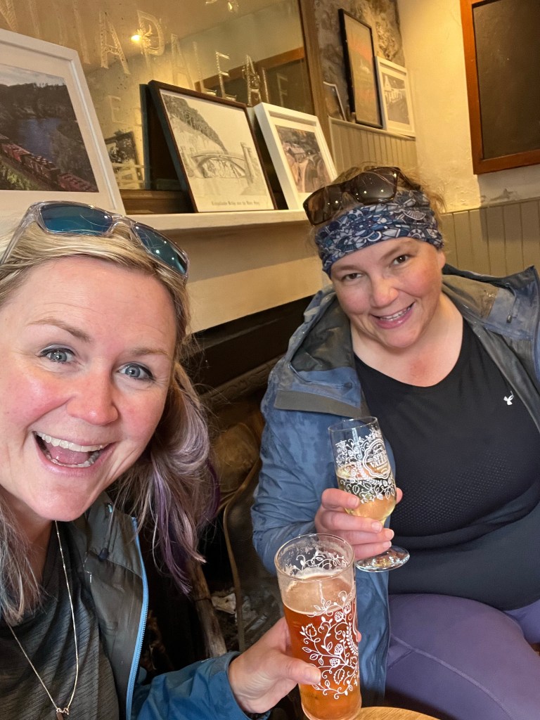
A great decision to stop! The gran (Gail) behind the bar was so fantastic. She was telling stories about the bar’s history to us and in such thick Scottish with all the ken’s instead of know’s and dinnae’s instead of did not’s and w’ instead of with and more. Love!
We tried to get a photo with Gail but she would have no such thing and instead took a photo of us behind the bar – Rosa got to get up close and personal with the whisky she was tasting! I on the other hand discovered Speyside Way Lager. Yummy!
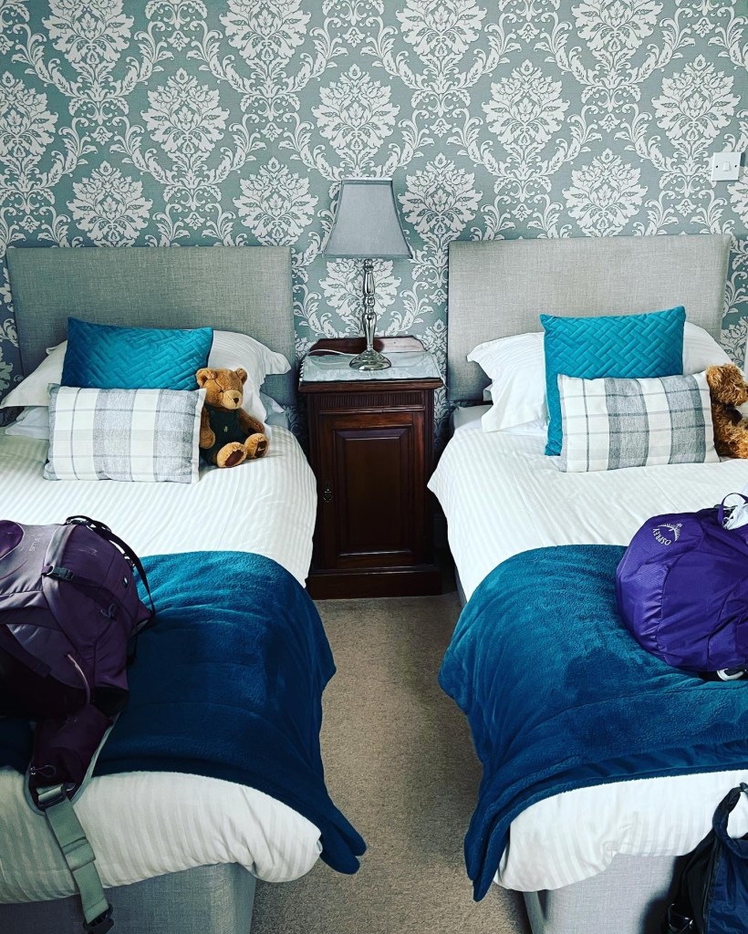
After our pints, we walked the 500m along the River path to our accommodation and accidentally had another pint on their porch before some dinner, showers and a tuck into bed to rest up for our walk to Ballindalloch!
A few stats for ye:
Trail: Speyside Way, Scotland
Day: 2/5
To/From: Fochabers/Craigallachie
Start/Finish time: 9:28am/5:36pm
Distance: 21km trail (21.1km Hiiker App)
Steps: 27,653
Terrain: gentle climbs and declines (forest track, 10km of minor road)
Weather: 14C Overcast w Rain and Sun
Breaky: Full Scottish Breakfast
Lunch n Snacks: Mature Cheese on White Bread with French Onion crisps and baked Skittles
Dinner: Mac & Cheese
Pints: 4
Tonight’s home: Highlander Inn
Mood: happy
Body: feeling great but getting grief from the right knee
Highlights: The Fiddichside Inn
Lowlights: road walking
People of interest: Gail the barkeep at Fiddichside Inn, and Whiskey the poodle
Funny bone: Ordiequish the Octopus
Spontaneous dancing: seldom, damn rain
Deep thoughts: a good marriage includes remembering your wife’s Starbucks order
Brande
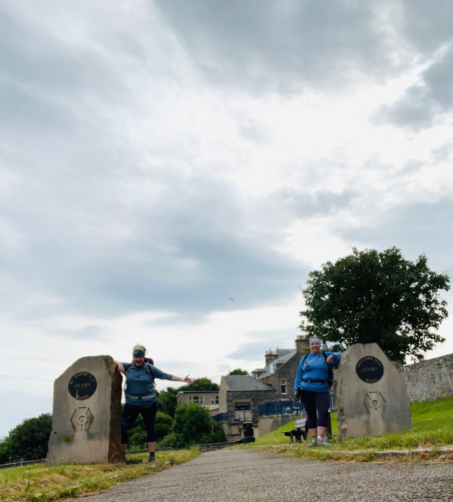


 Well day 4 over and done! From Lagg to Whiting Bay in 16kms that felt more like double that!
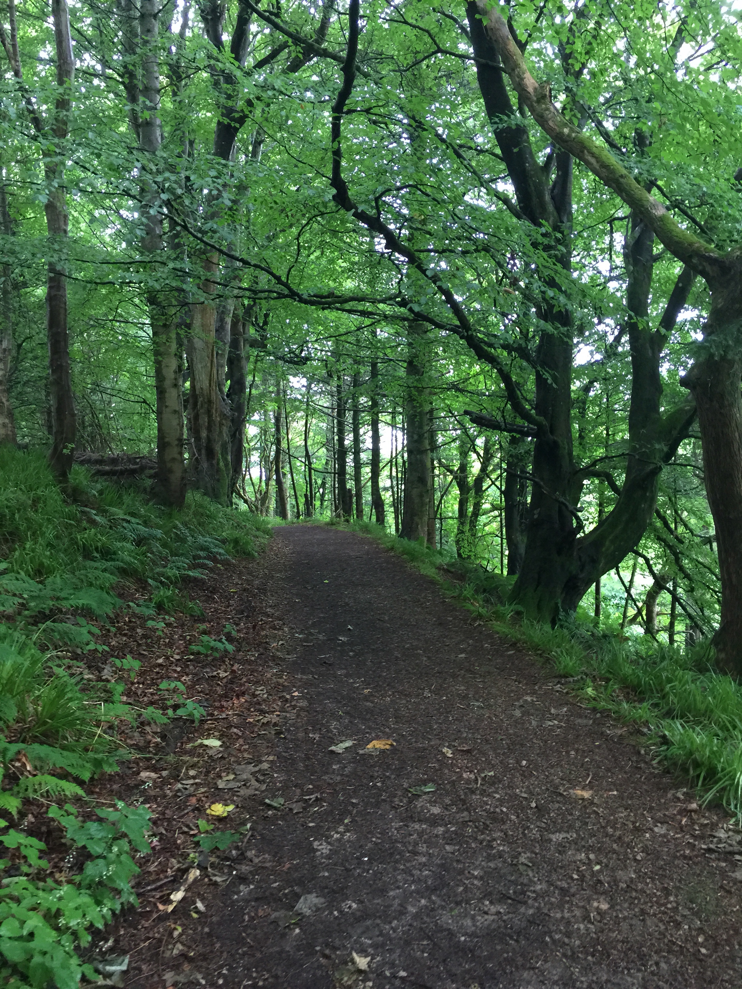
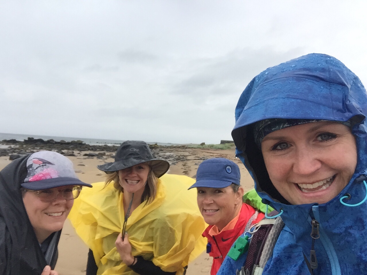
 We made awesome time after leaving the hotel – likely because it was pouring rain and all you can do is put you hood on, keep your head down and walk. Good conversation and photo montages are a little tough in the blistering rain along the ocean. But we were lucky the rain only lasted about an hour or so – just long enough to soak a few of the crew to the under clothes.
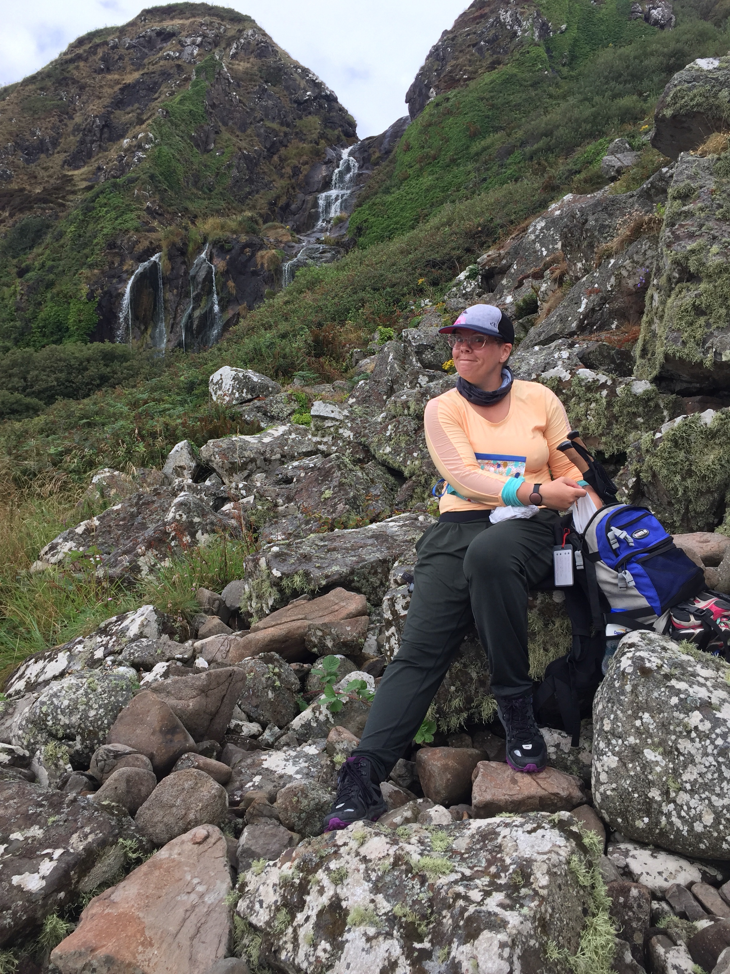
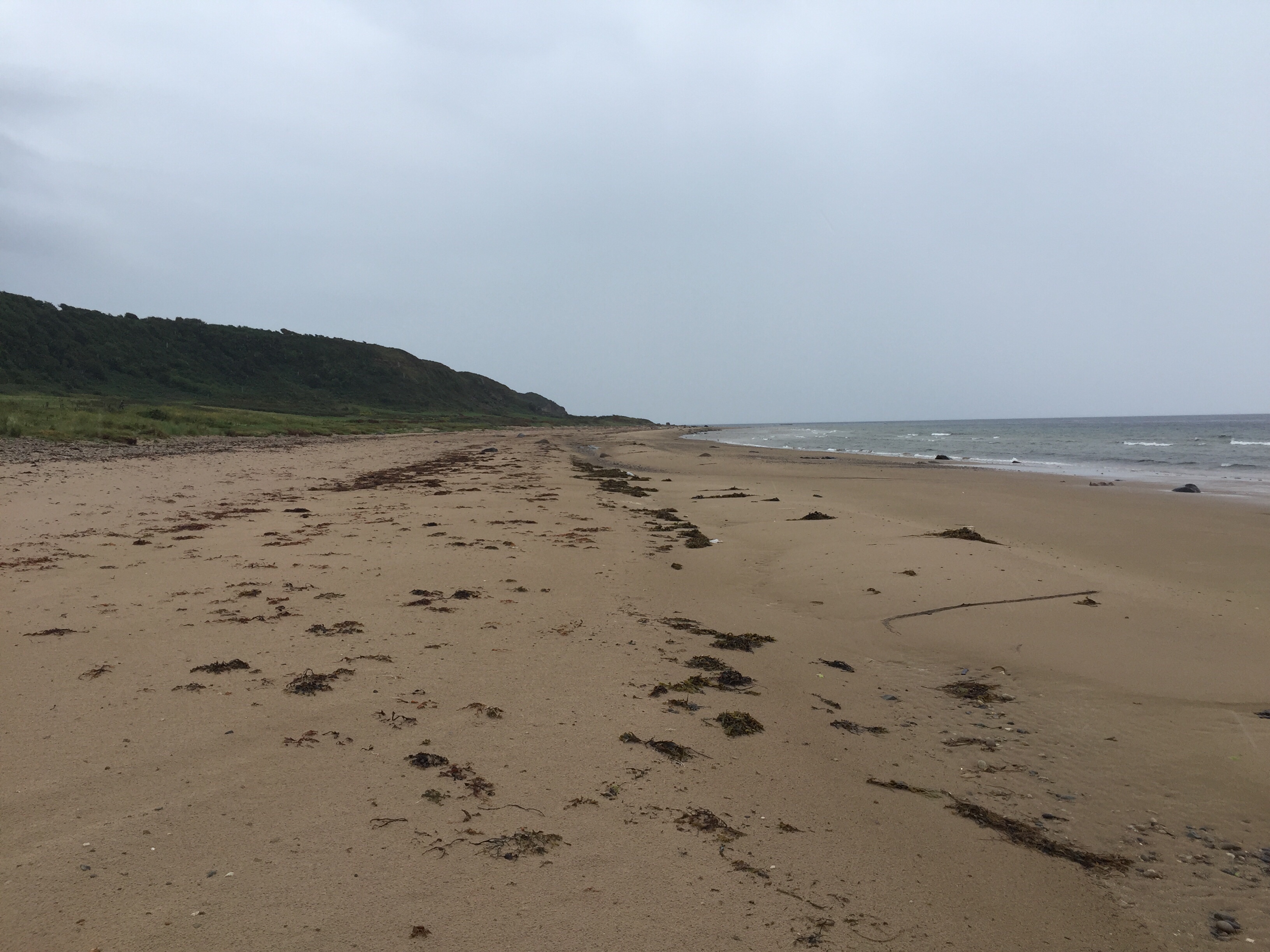
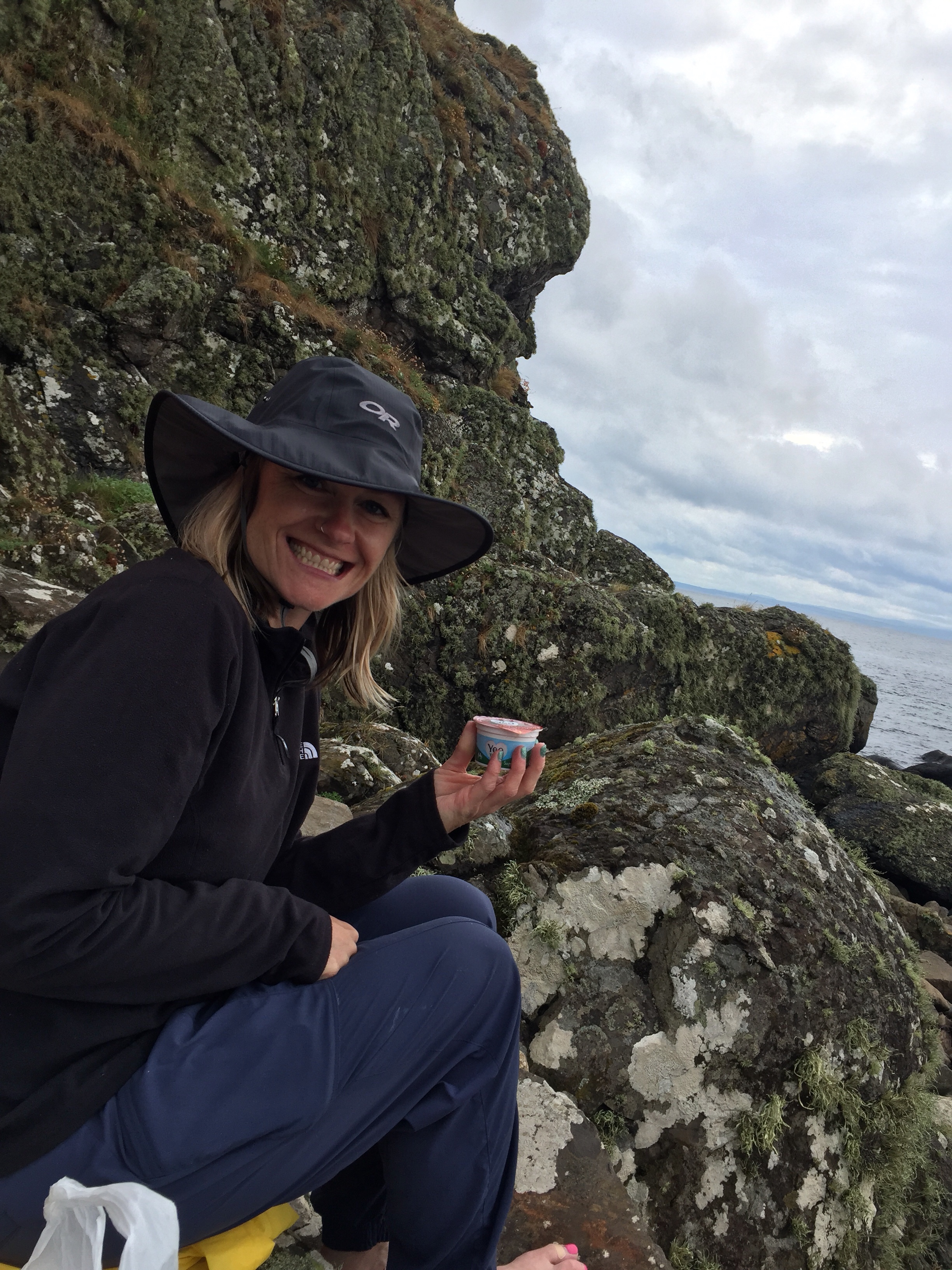 Well as we sat there it got windier and windier, the waves higher and higher – soon crashing against the rocks! A beautiful sight to see but not as you are waiting for the sea to go out so you can keep moving. We committed to waiting for high tide at 1:06pm and picked a tide pool to watch as our indicator that the tide was going out.
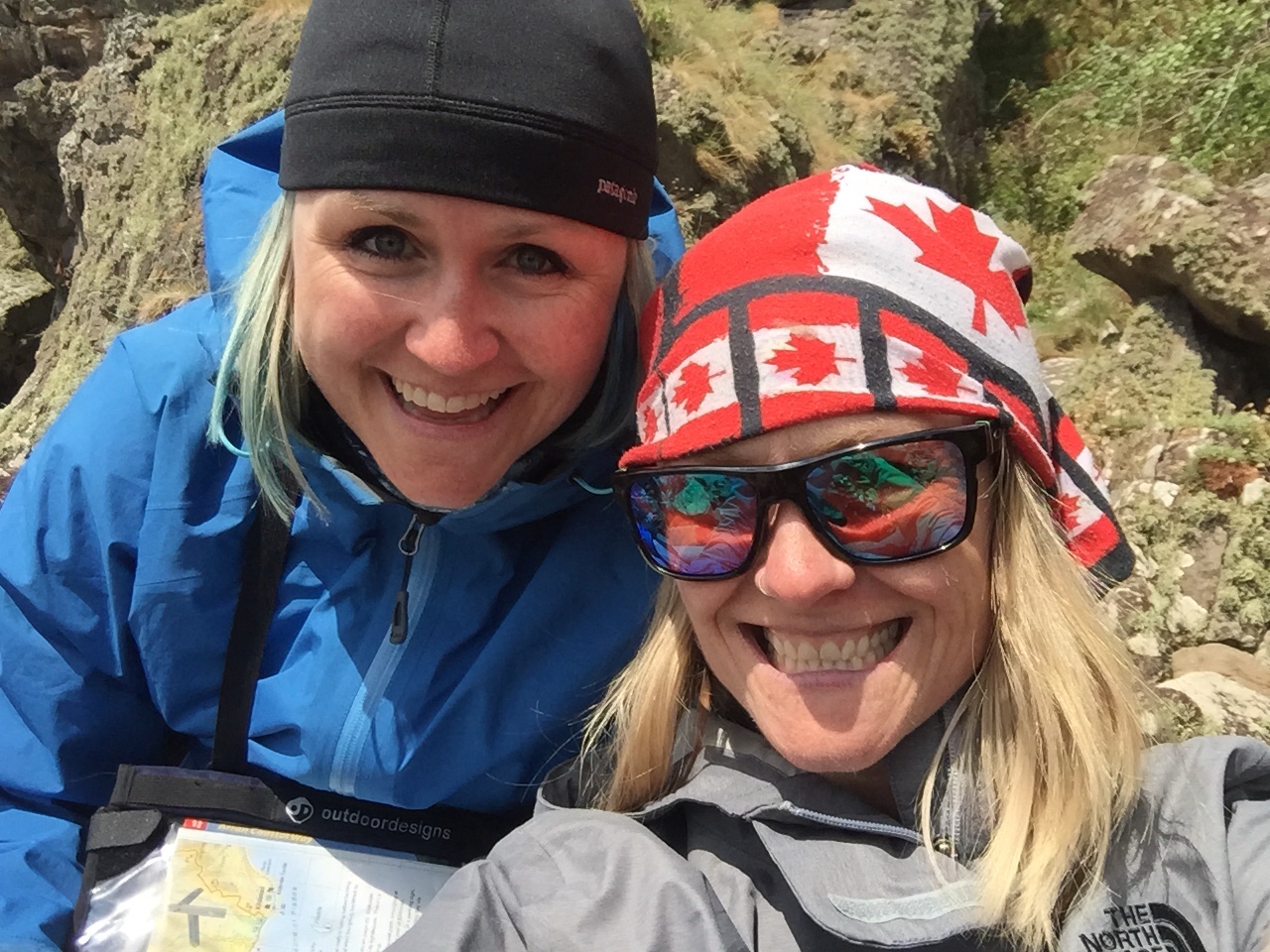 At 230pm the water was not visibly retreating, the waves were getting worse by far and there was no way to pass Brenan Head – our gut instinct to not attempt the crossing due to the conditions were later confirmed when we found out all ferry crossings to/from the island were cancelled due to bad seas. Bad sea, bad! A weather warning was issued after we left our hotel in Lagg – missed it!
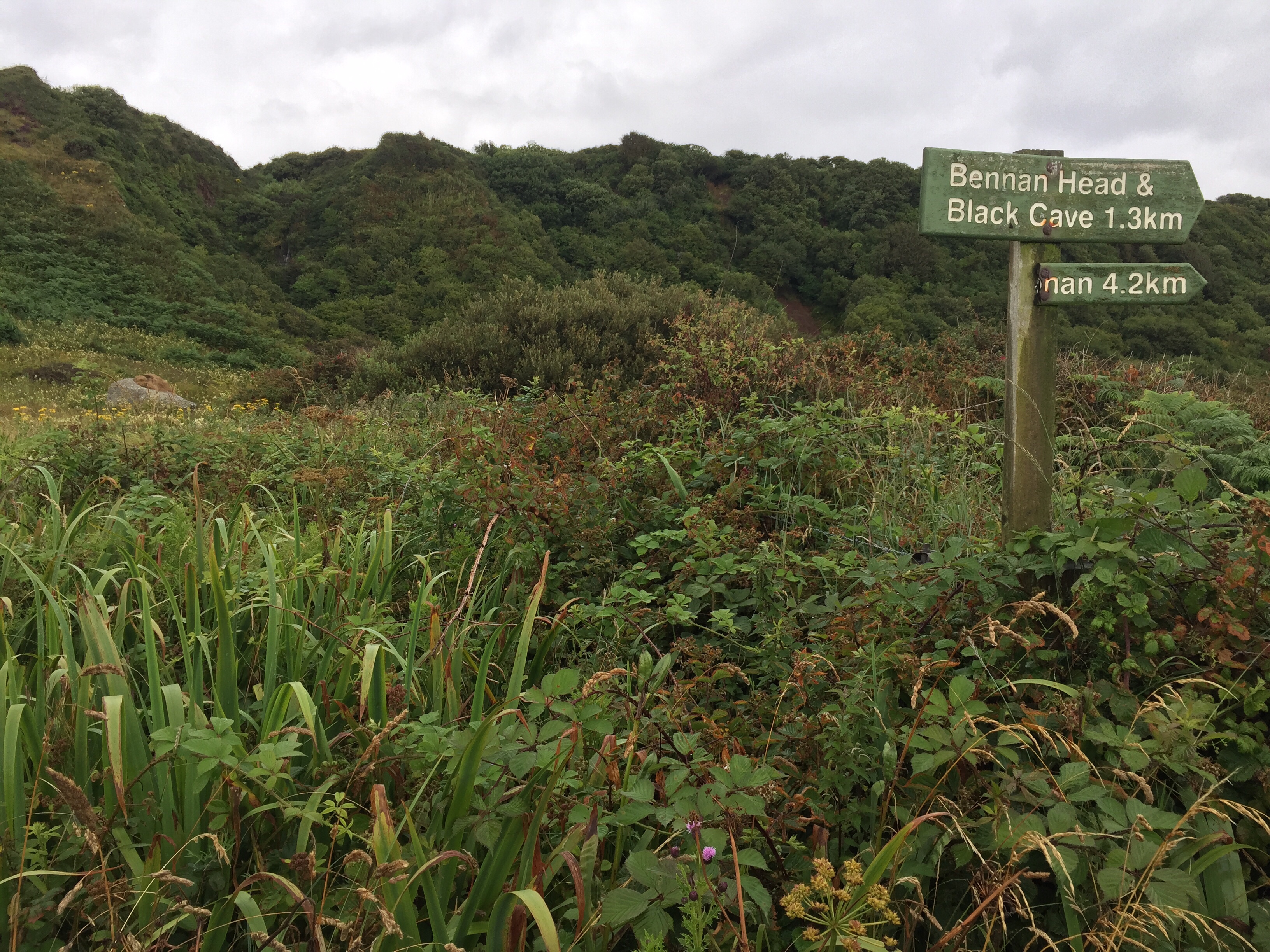
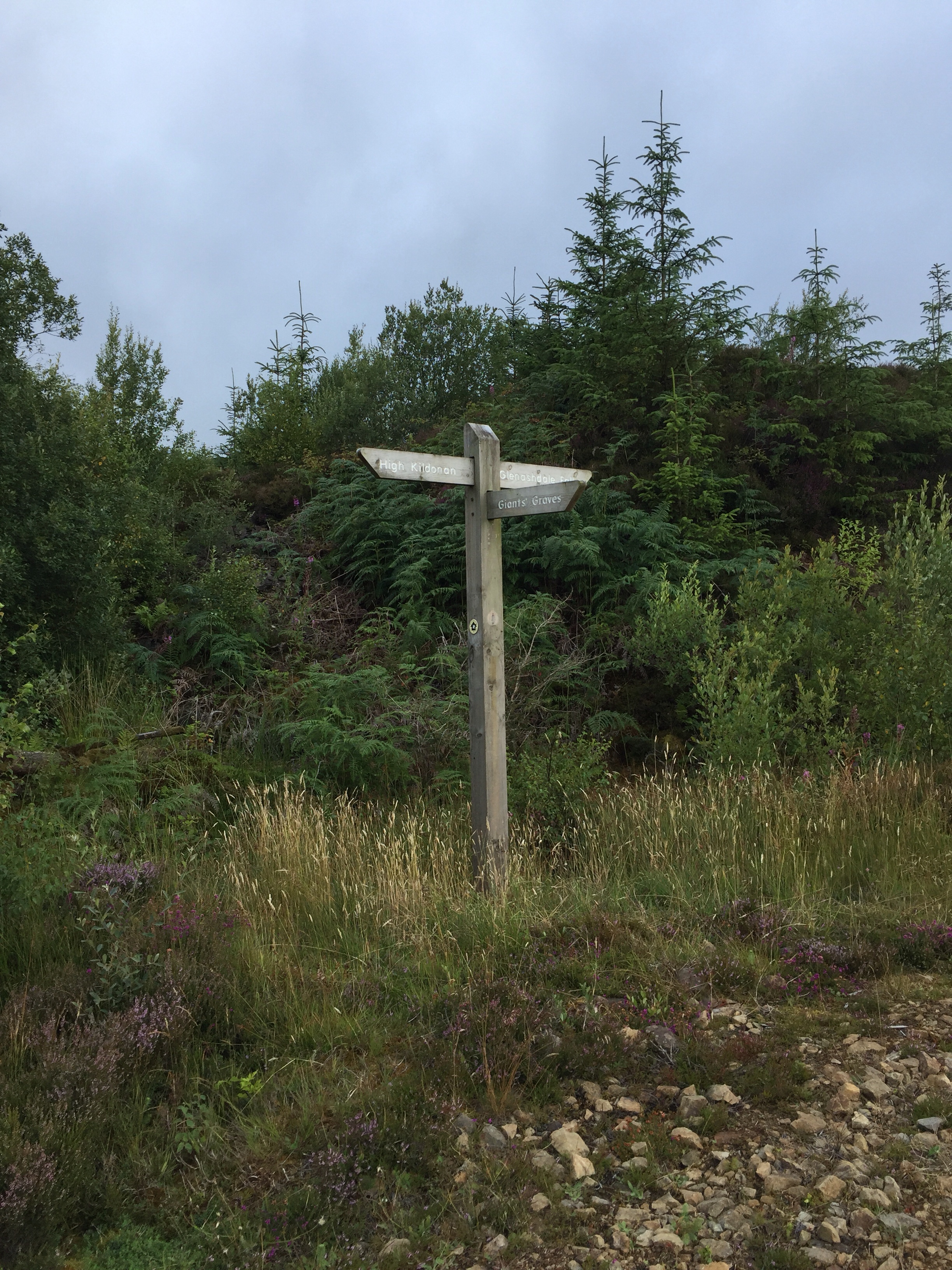
  So back to the Escape Route we went … we hadn’t seen the markers for this on our way through so Rosa and I double timed it to see if we could find these while Cheryl and Shar got a few things sorted and followed behind. We found it! Not sure how we missed the marker on the way through the first time.
 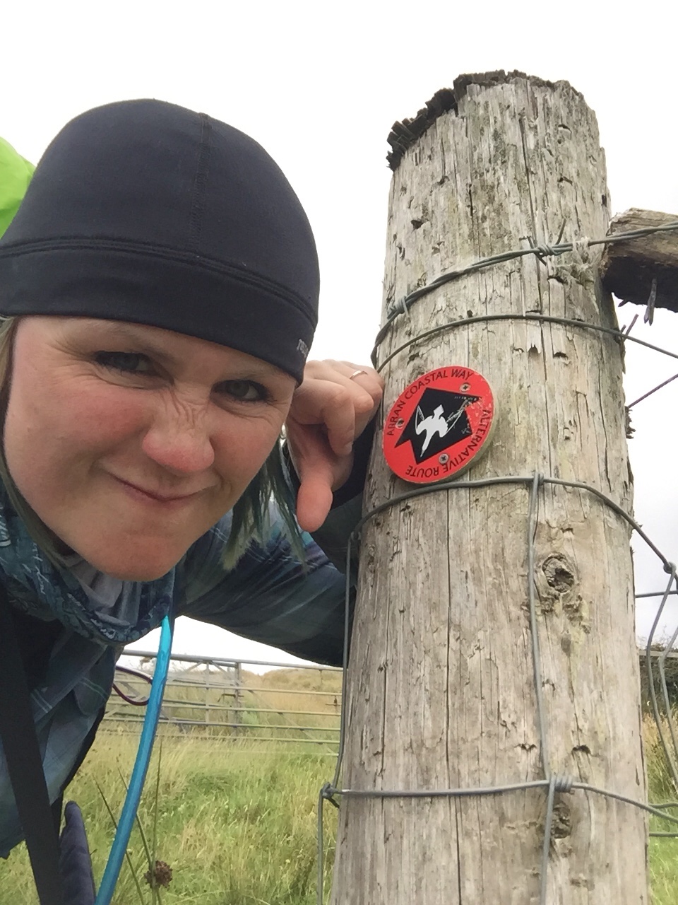 I was a bit ‘grumpy’ about having to take the escape route because we had waited so long for the stubborn tide and the Brenan Head crossing just seemed like the cool coastal thing to do. But the escape route ended up being great – up a steep incline to get the thighs burning, across some fields so we got to walk along with some sheep, and then easy road walking with amazing views of the Prada Island lighthouse!
 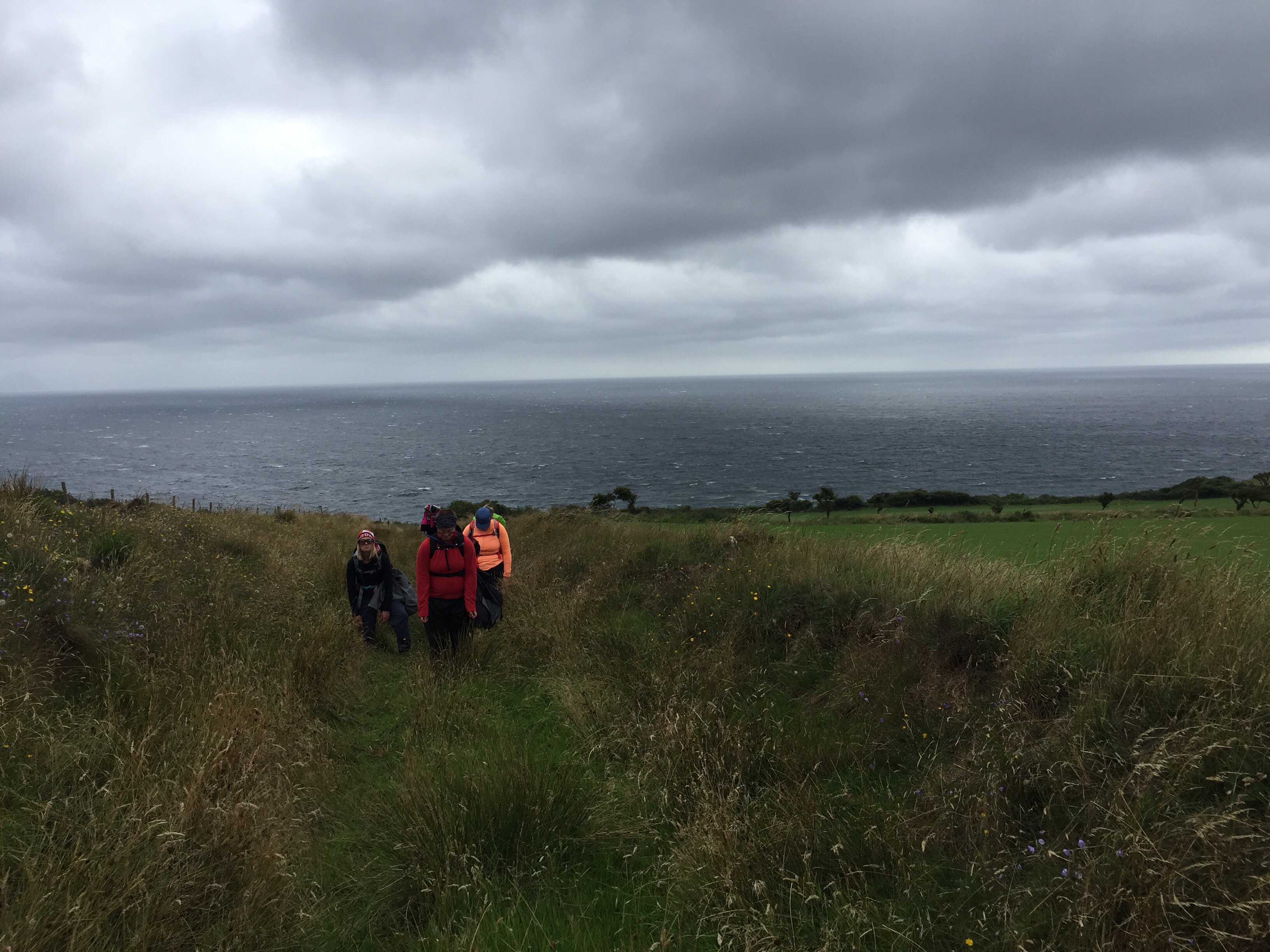 After 4km on the road we had a decision to make – walk another 8km into Whiting Bay our home for the night on roads OR walk 12km through woodland on the actual Arran Coastal Way.
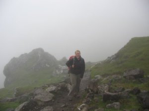
 About mid way the storm hit! Big style! Soaking, sideways, heavy, bouncing back up off the ground, rain quickly turning us from chilled hikers to soggy sloggers! Hoods on, heads down, we made our way. Even in the rain it was really pretty! Until we got to town and then it was just rain, rain, rain – running down the streets and overflowing drains kind of rain.
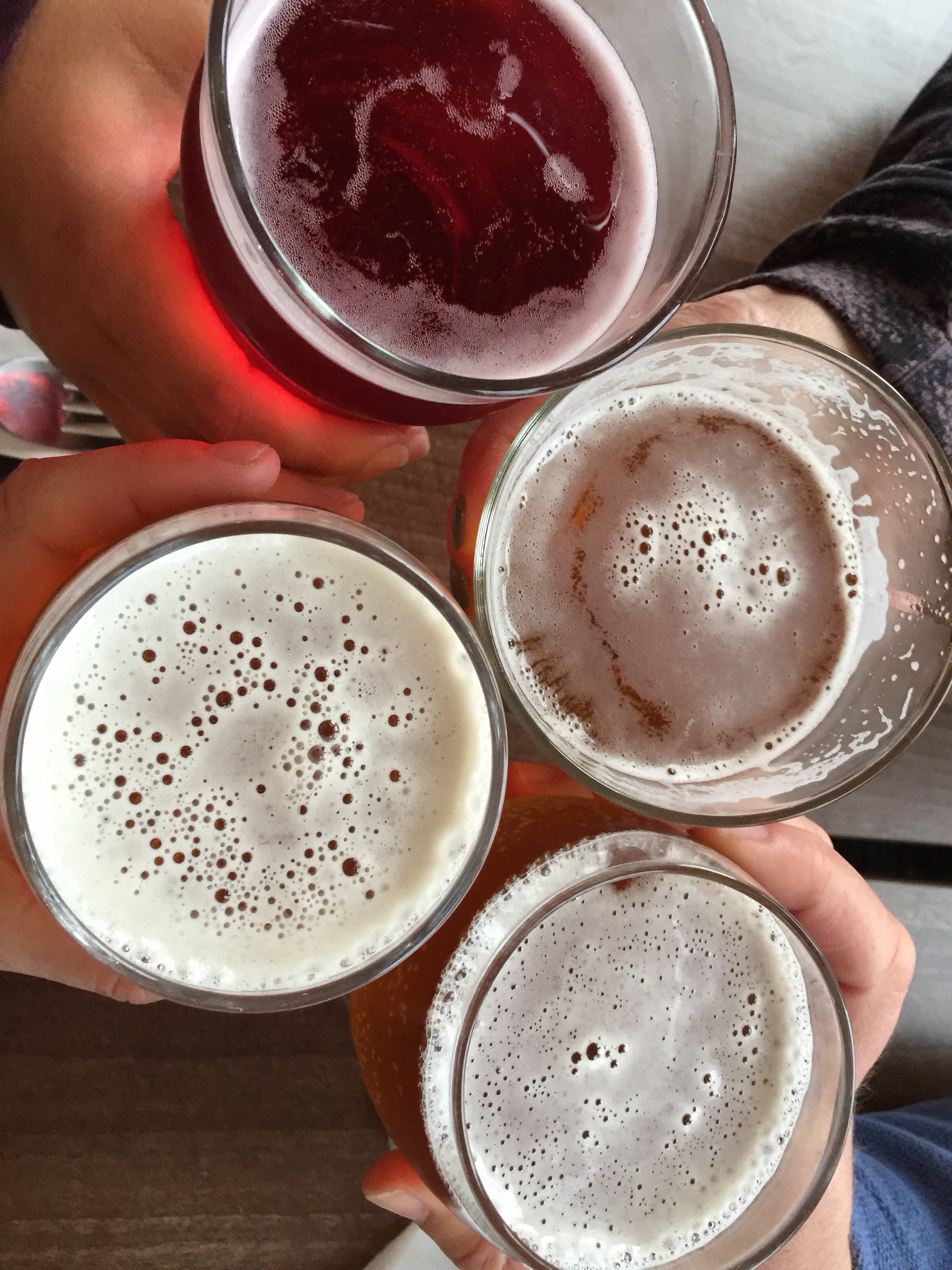 We toasted the end of a crazy, soggy day at dinner and all of us were keen for a good sleep and a chance for our clothes and boots to dry! Brande
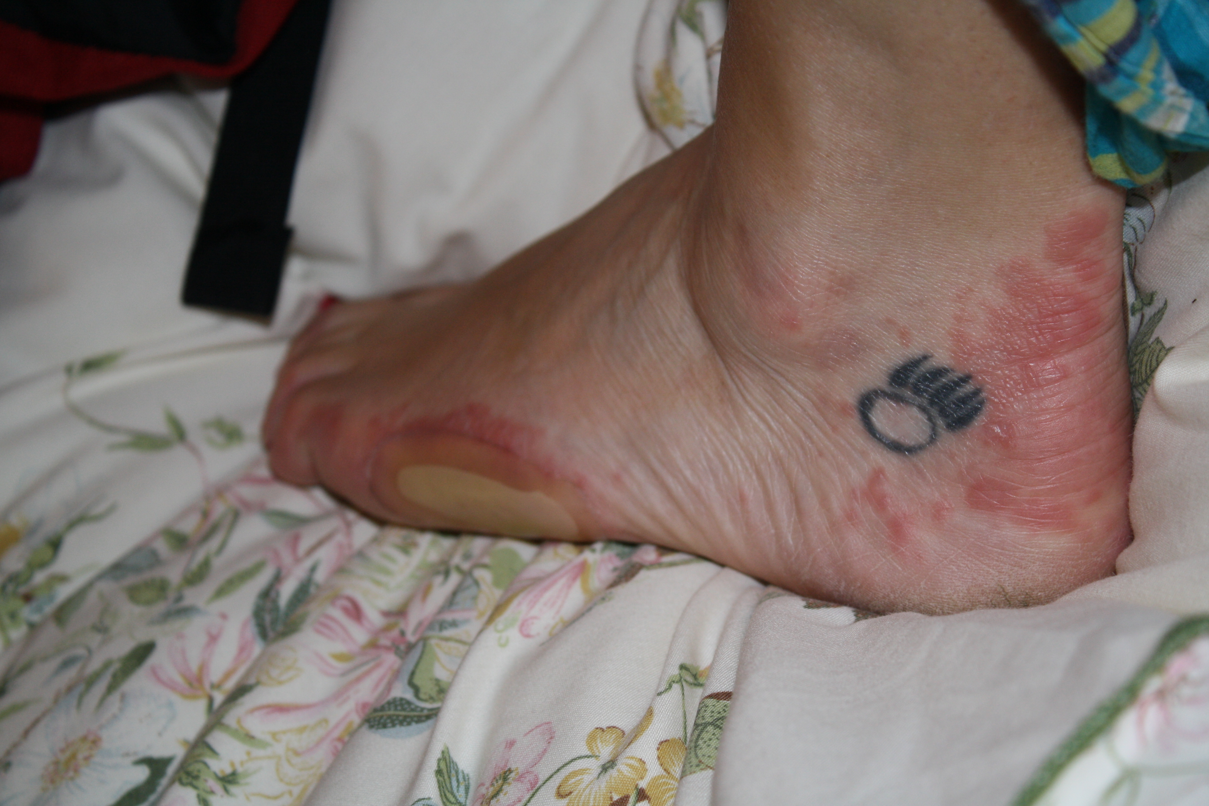
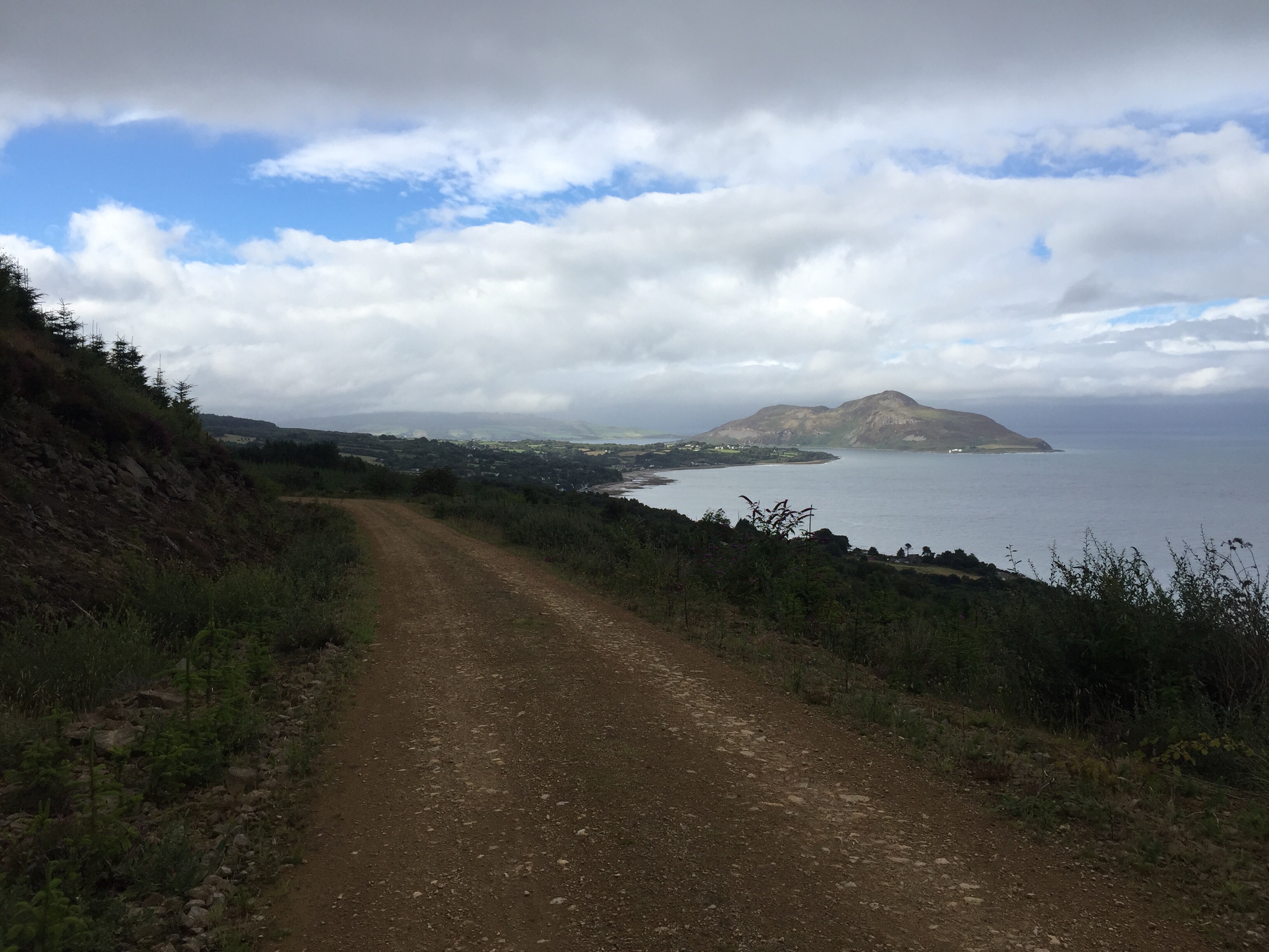
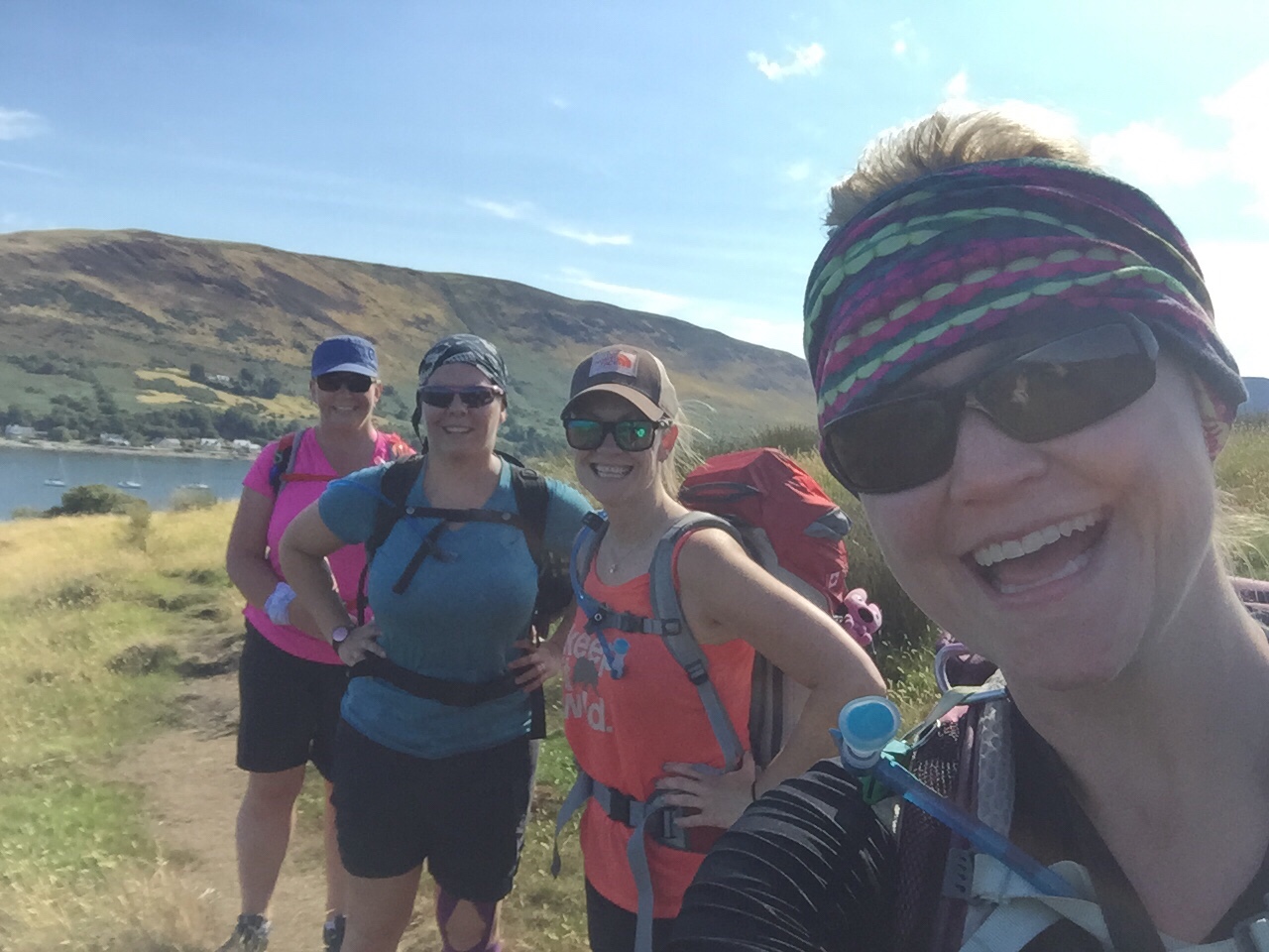 Day 2 on the Arran Coastal Way proved to be another doozy. A beautiful doozy that has left all of us with a bit of a hobble or a limb tonight- tight muscles, dogs barking, sun burns, and blisters seems to be the order of the body today for our crew.
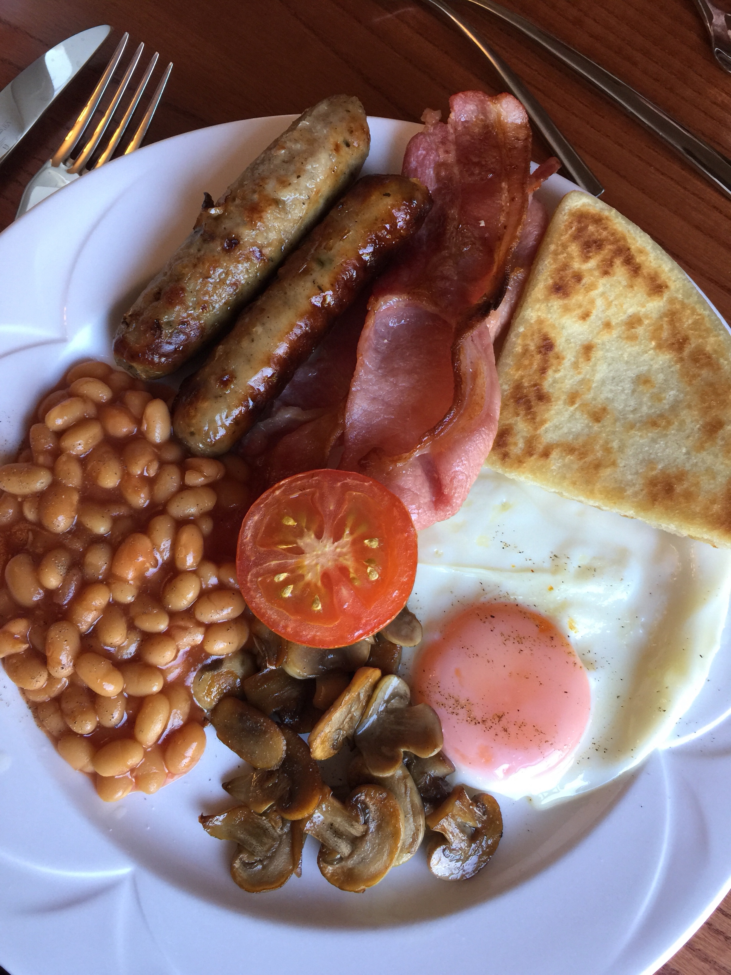 After breakfast we packed up and heading out the door. Leaving our big bags for Contours Walking Company to carry forward for us, and just taking our daytime backpack.
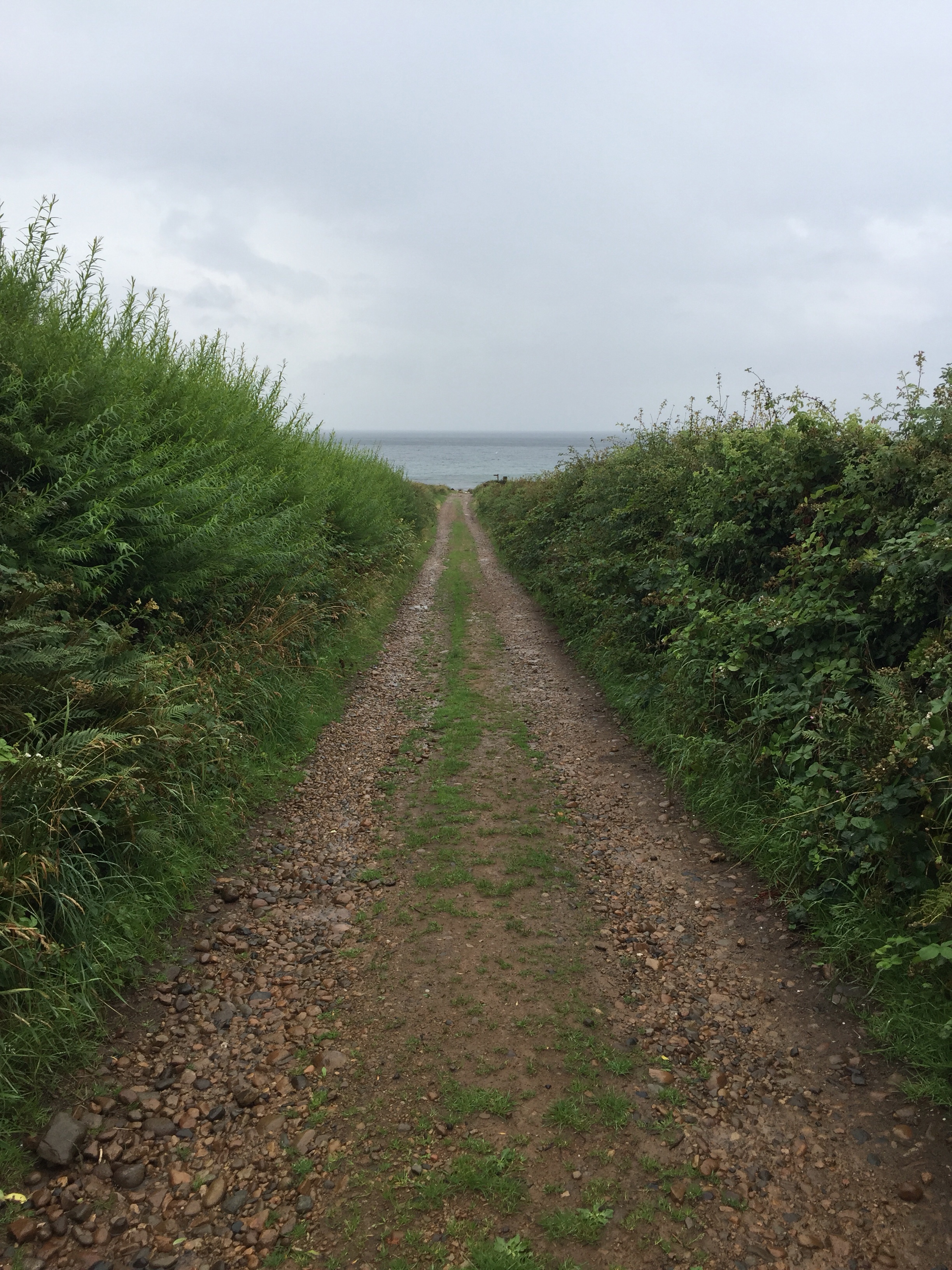
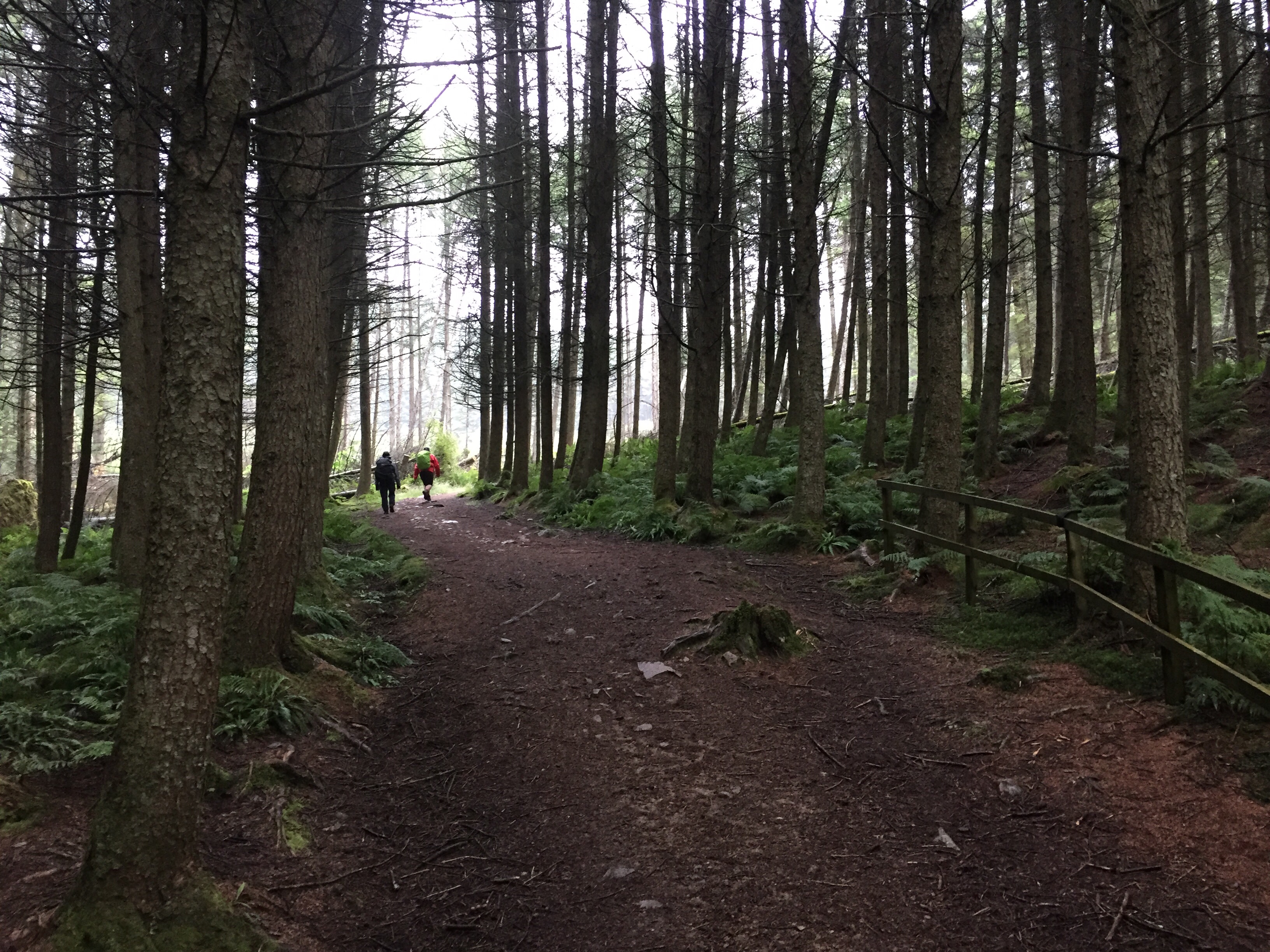
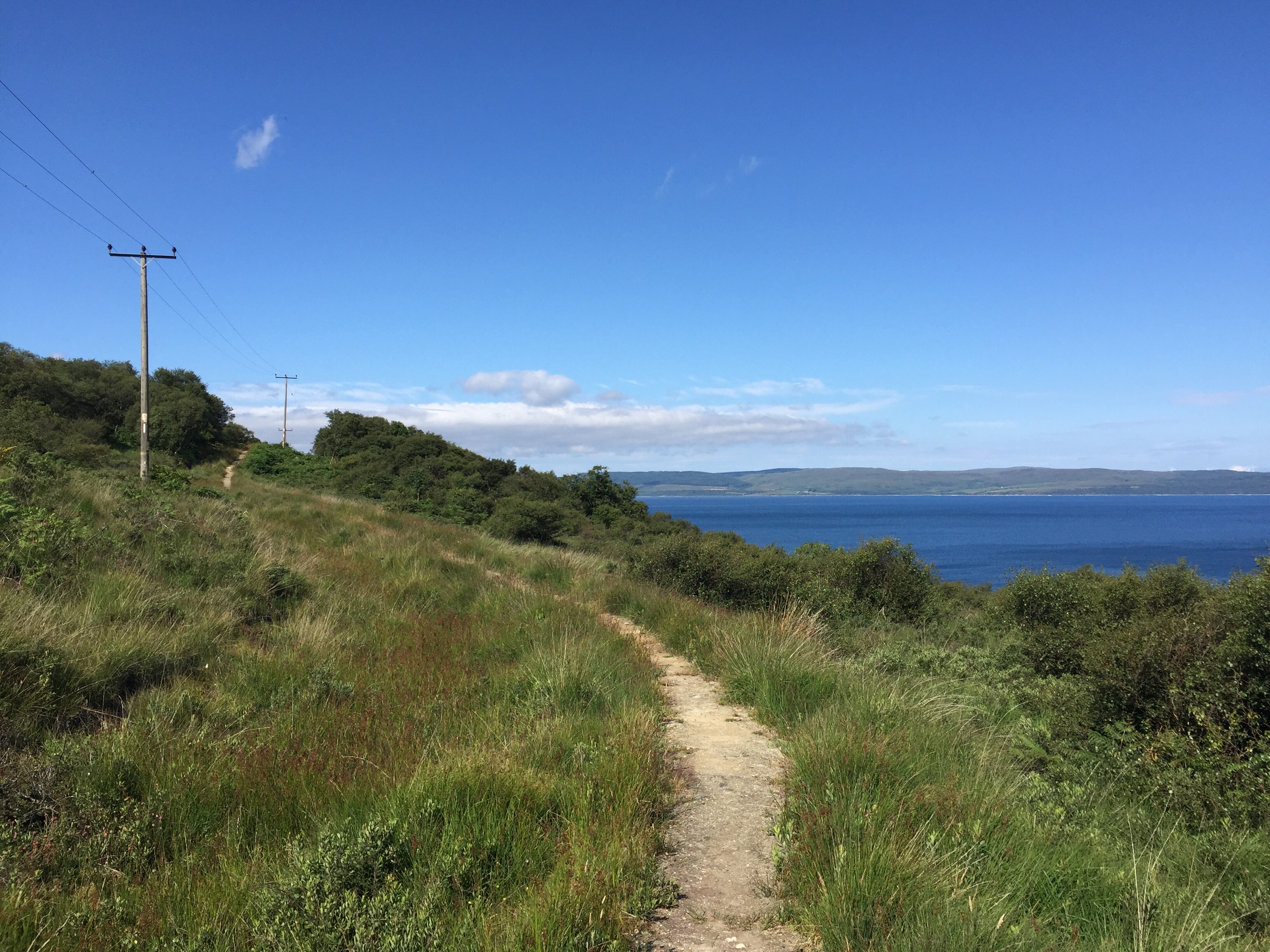
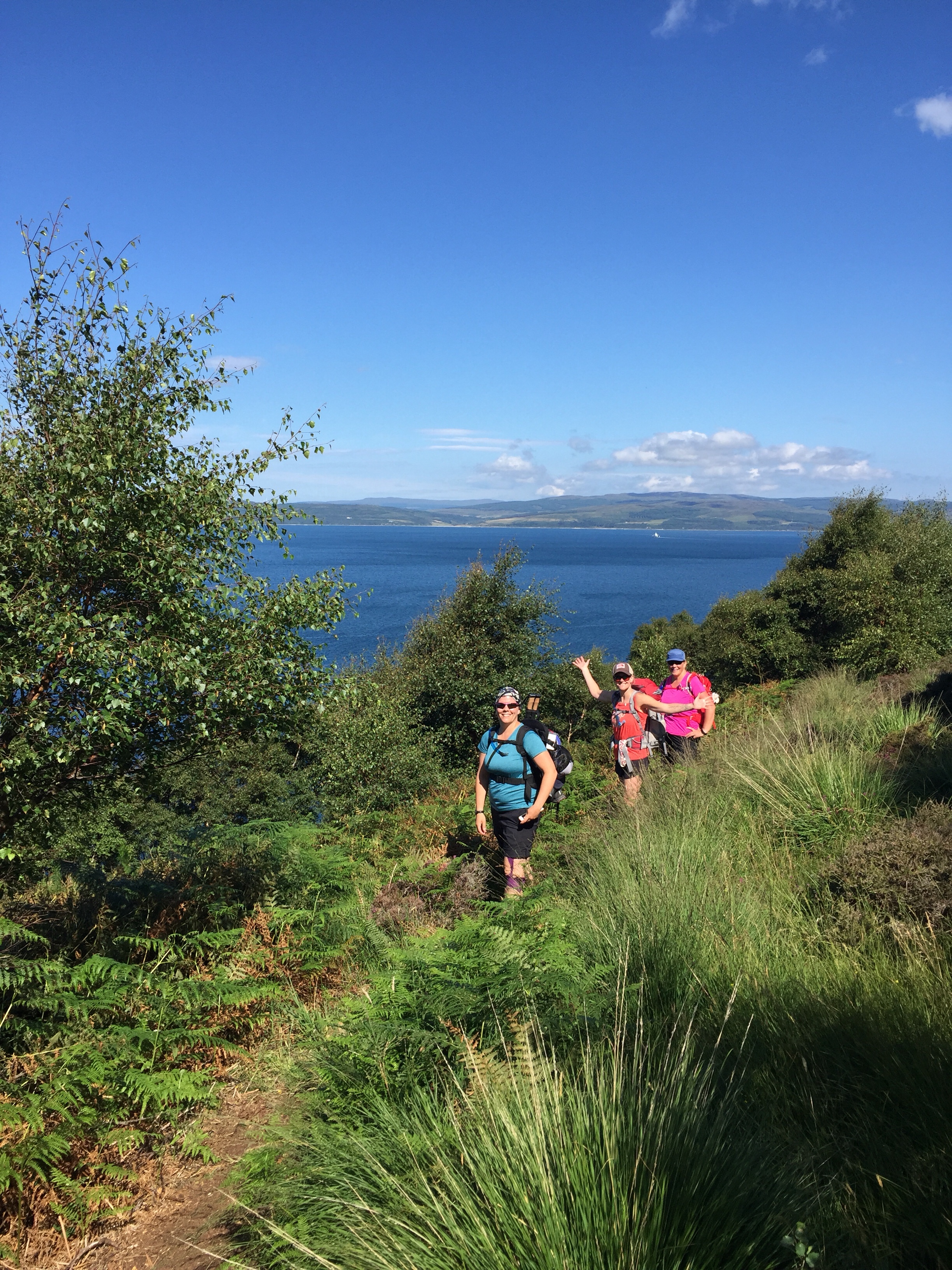
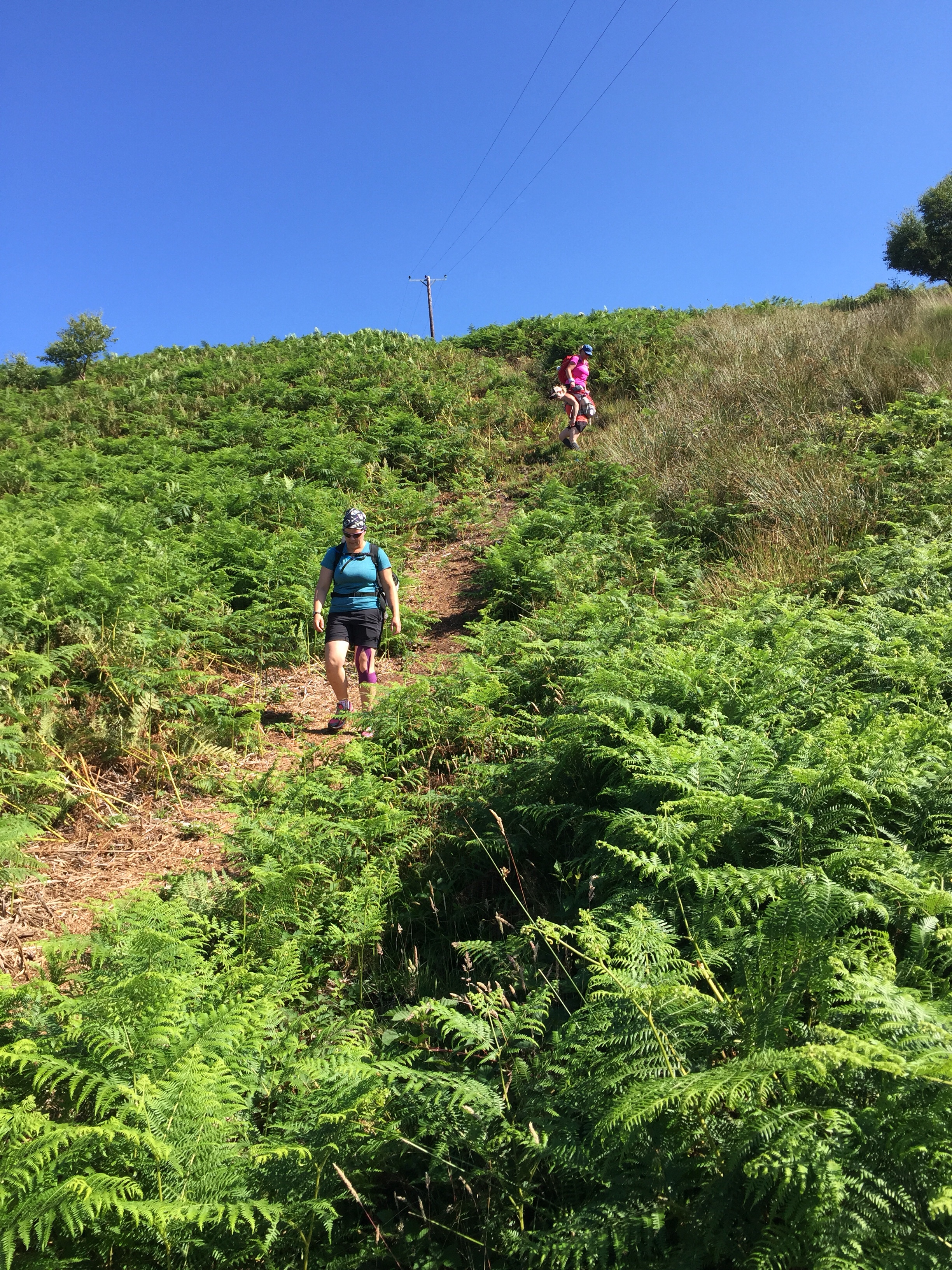
 From there, we started out on the path. This included a short distance on the road around the headland and a steep, long uphill to take us to a fern filled, undulating path on the cliff above the beach.
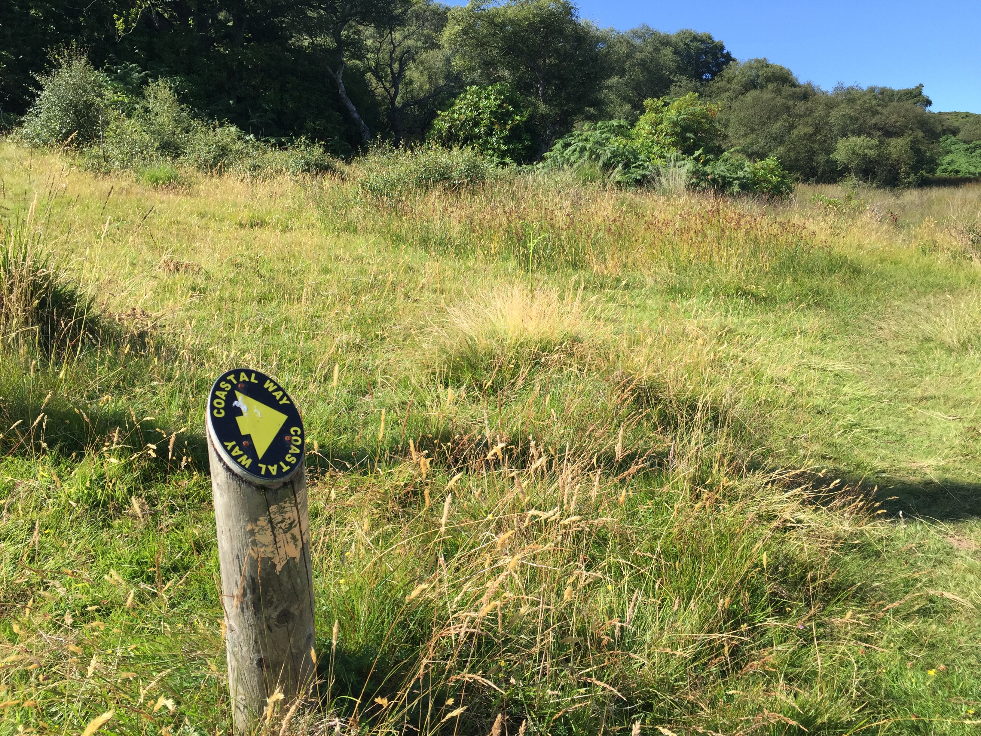
 Following our up on the cliff walk, we then came down a very steep hill to the village of Catacol where we got to step over our first ladder stile.
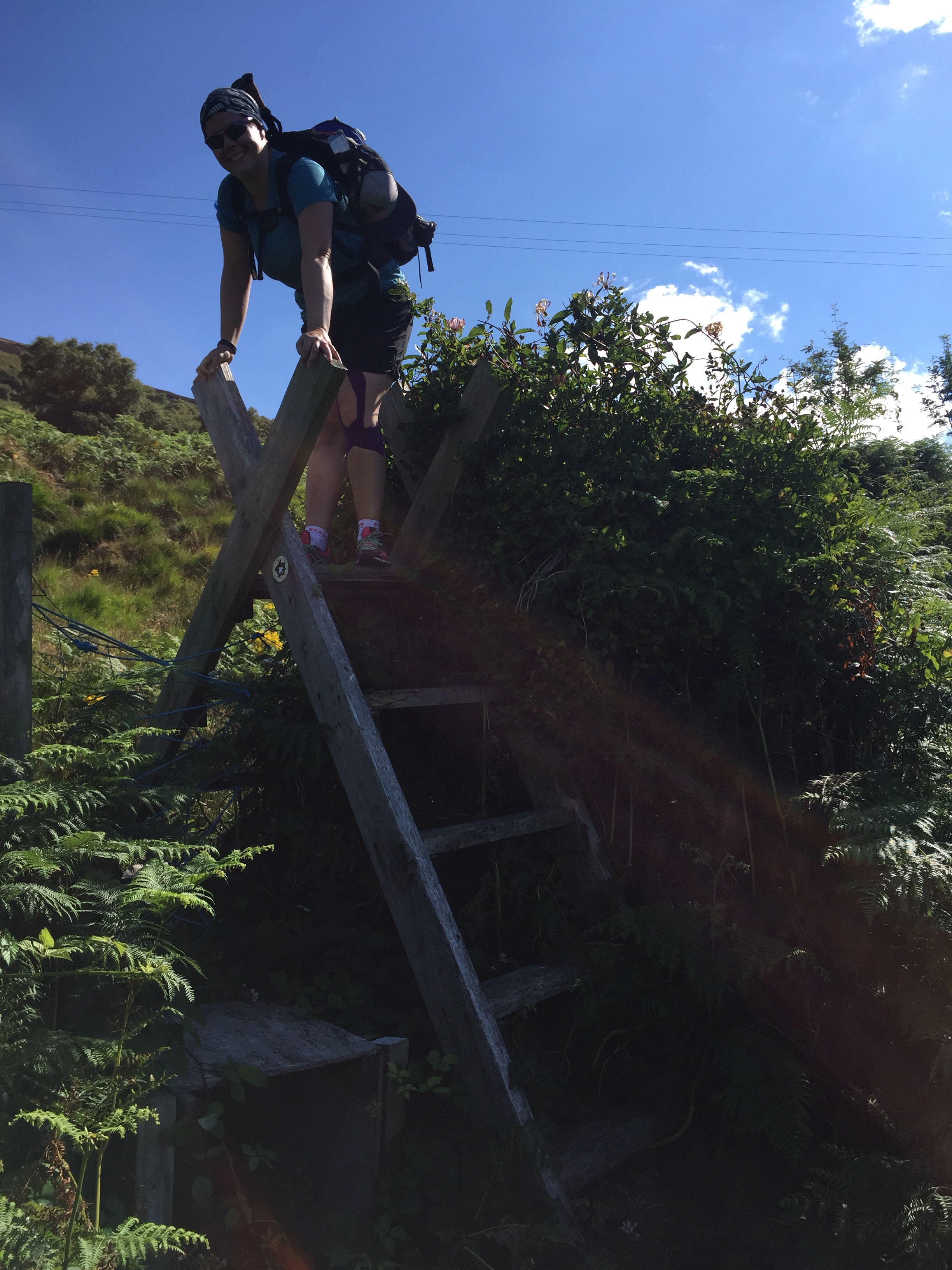 The village of Catacol is famous for the row of 12 white houses that face the sea. Each has a different shaped window design so the wives of fisherman who lived there could signal their husbands by placing an oil lamp on the sill.
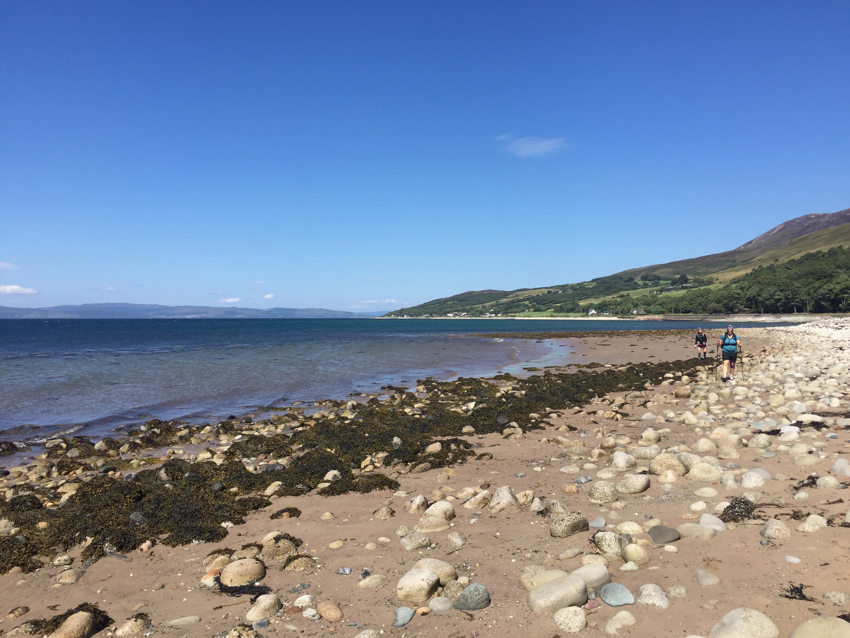
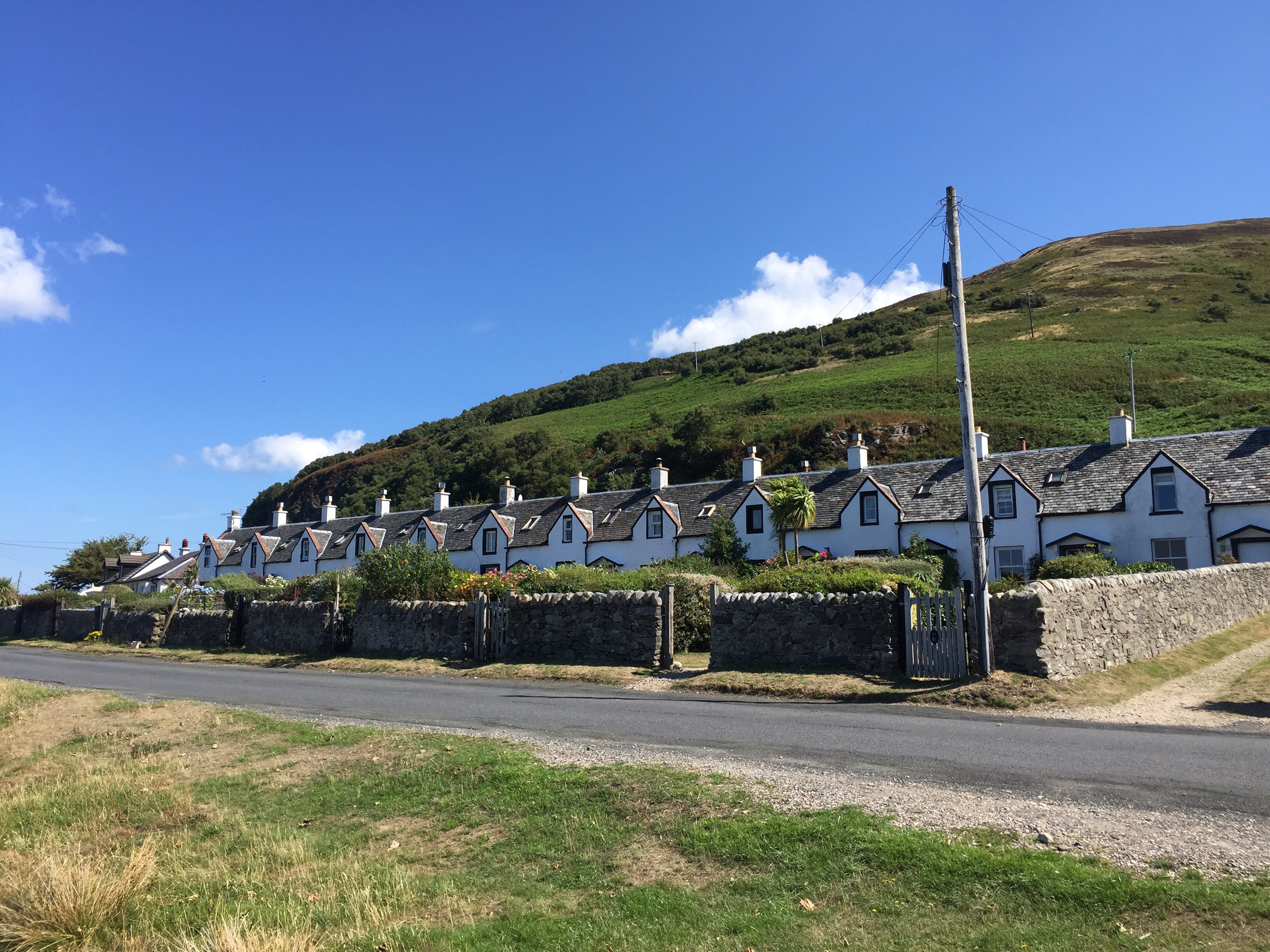 From Catacol we did a bit more road walking (about 4-5km) before making our way back onto the beach for some Coastal hiking. This is such a beautiful way to see the coast but it’s hard work keeping your balance and purchase on the rocks. Worth the work though for the amazing views! Well the view from the road is awesome too but the is just something fun about hiking on the road vs on a path or the beach!
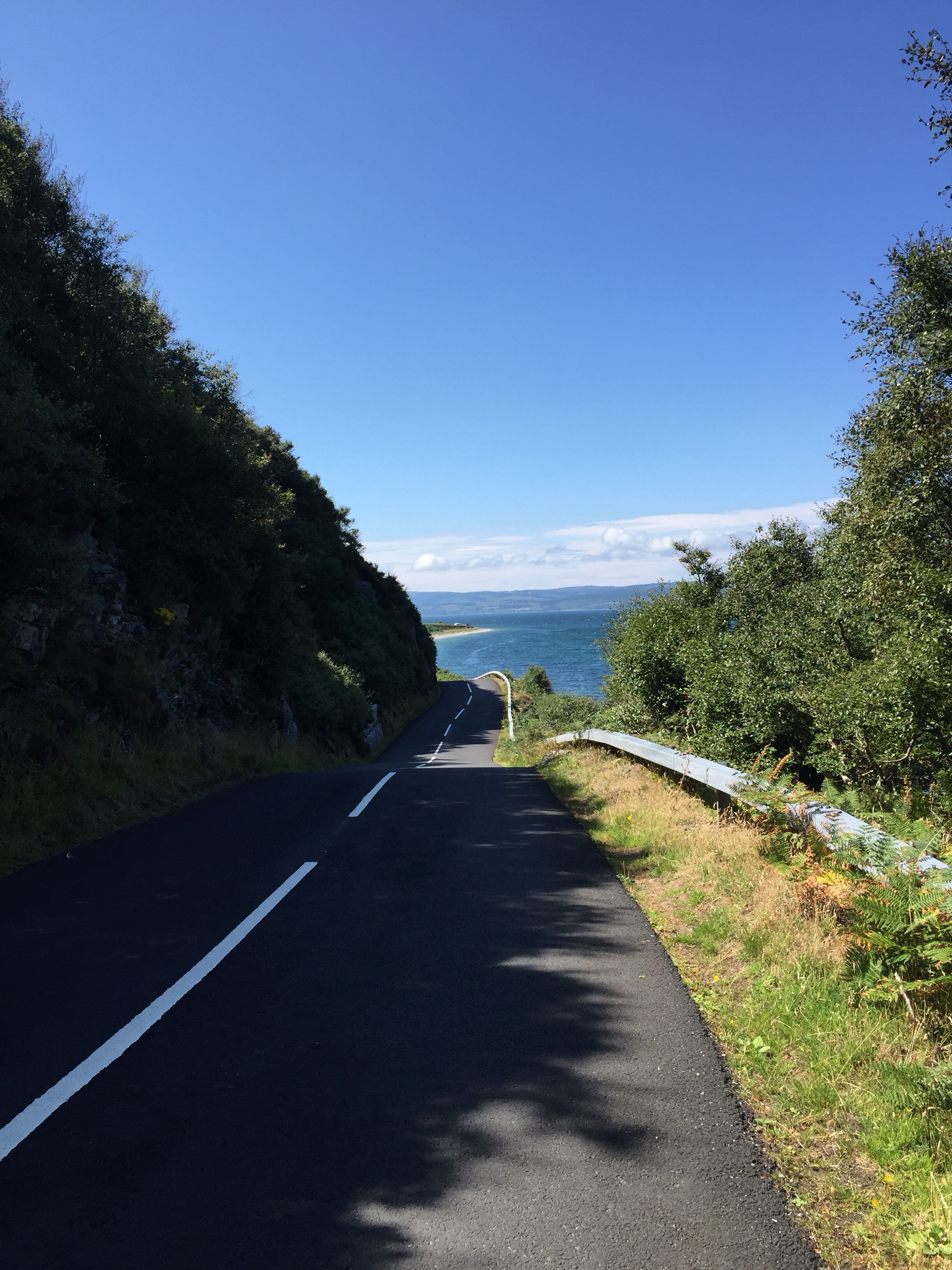
 We soon left the beach to walk into Pirnmill where we were excited to have a warm lunch and a pint at the Lighthouse Cafe. I could already taste my cheese and tomato toastie and a cold pint of Tenants lager.
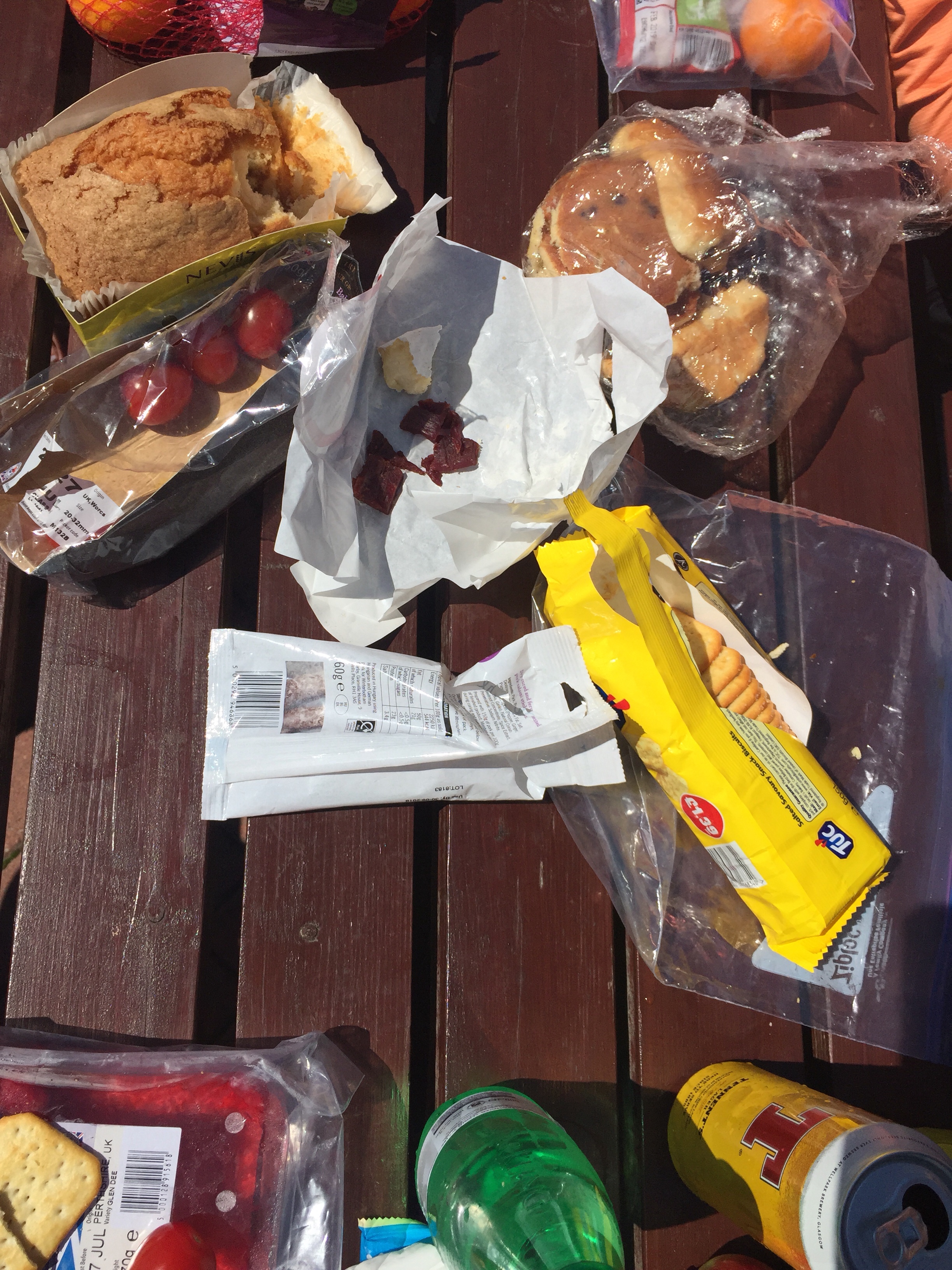 After our picnic, we had a few more kms of road walking before getting back on the beach. The road walking while flat surfaced and easy is tough on the body and the mind.
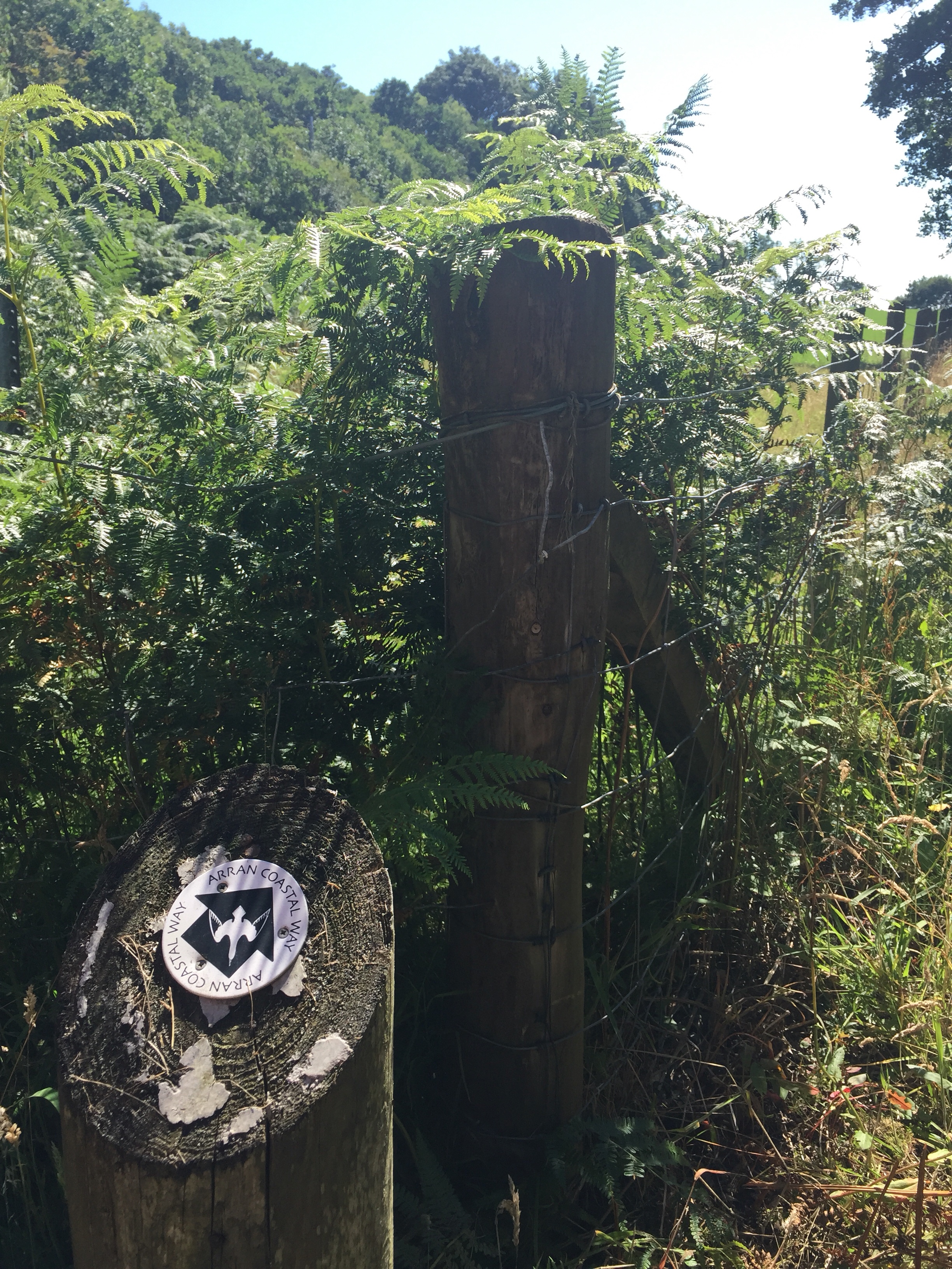
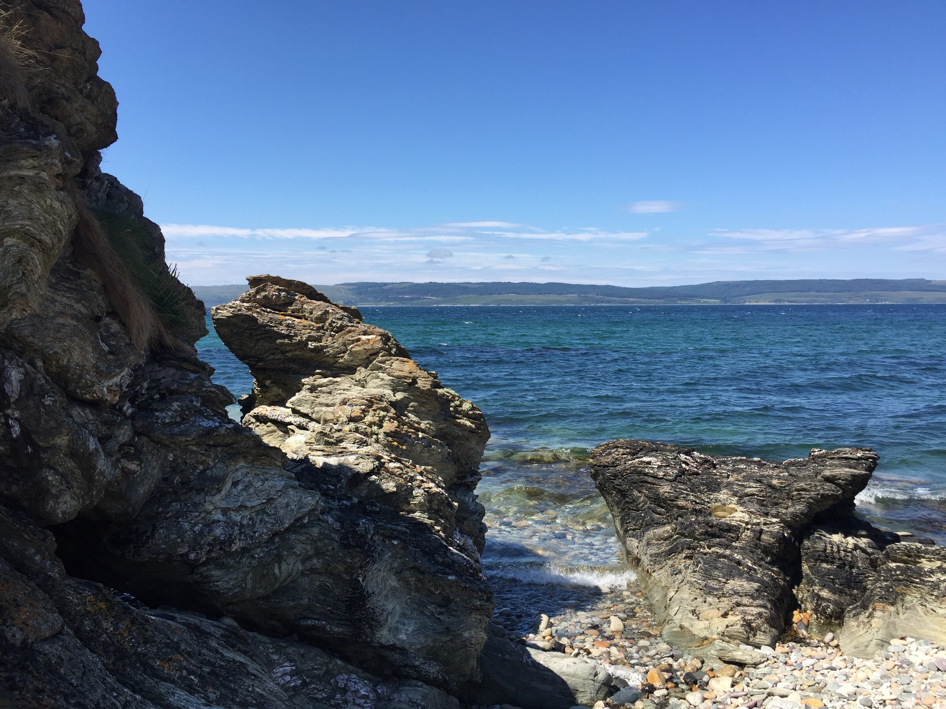
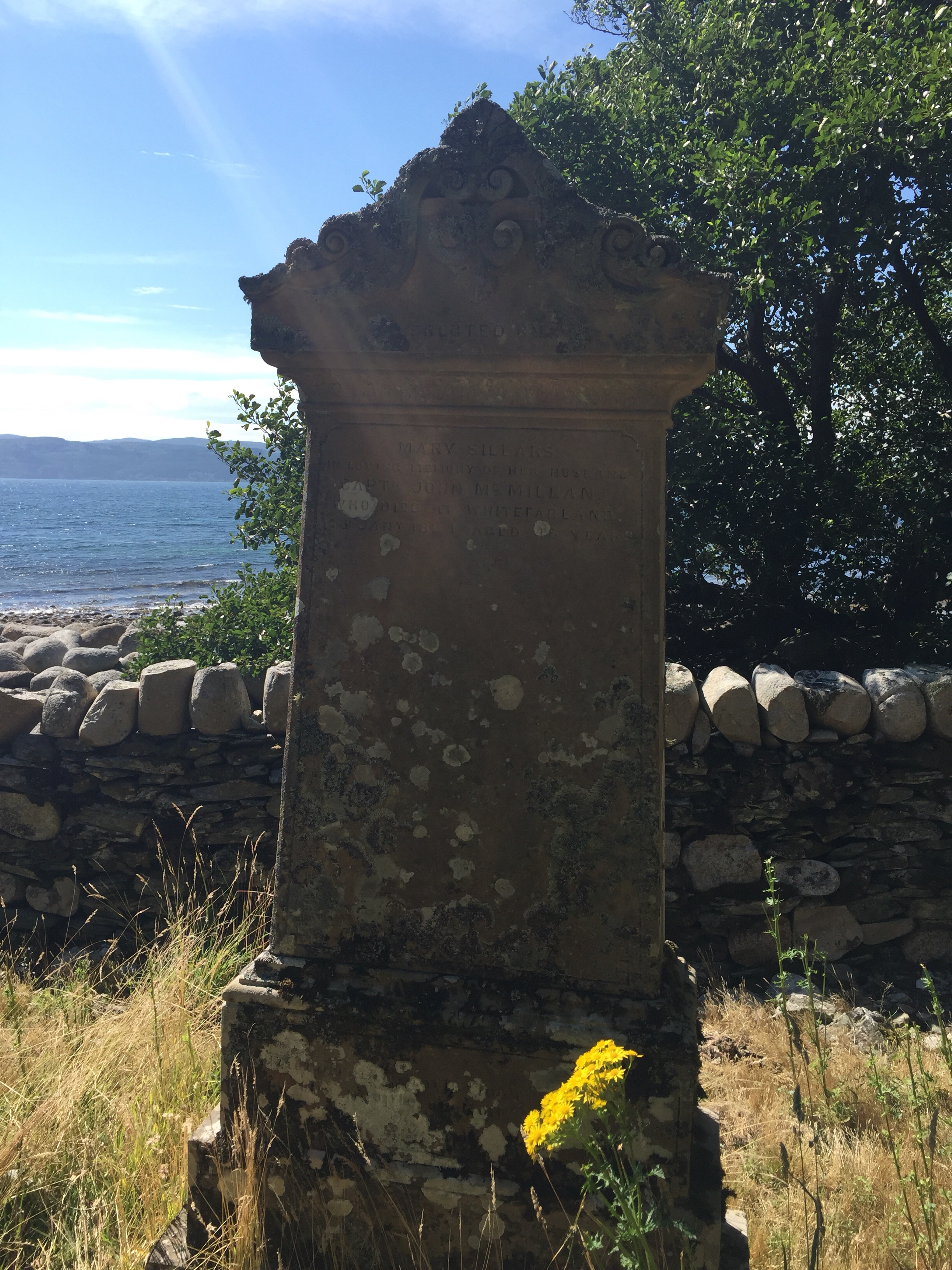
 Along our travels we came across 2 seaside graveyards. Wow they were pretty old. The stone fence around the outside always falling down in places and all the graves were covered in lichen. I think the oldest grave stone we could read was for a poor soul who died in 1812. What an amazing final resting place.
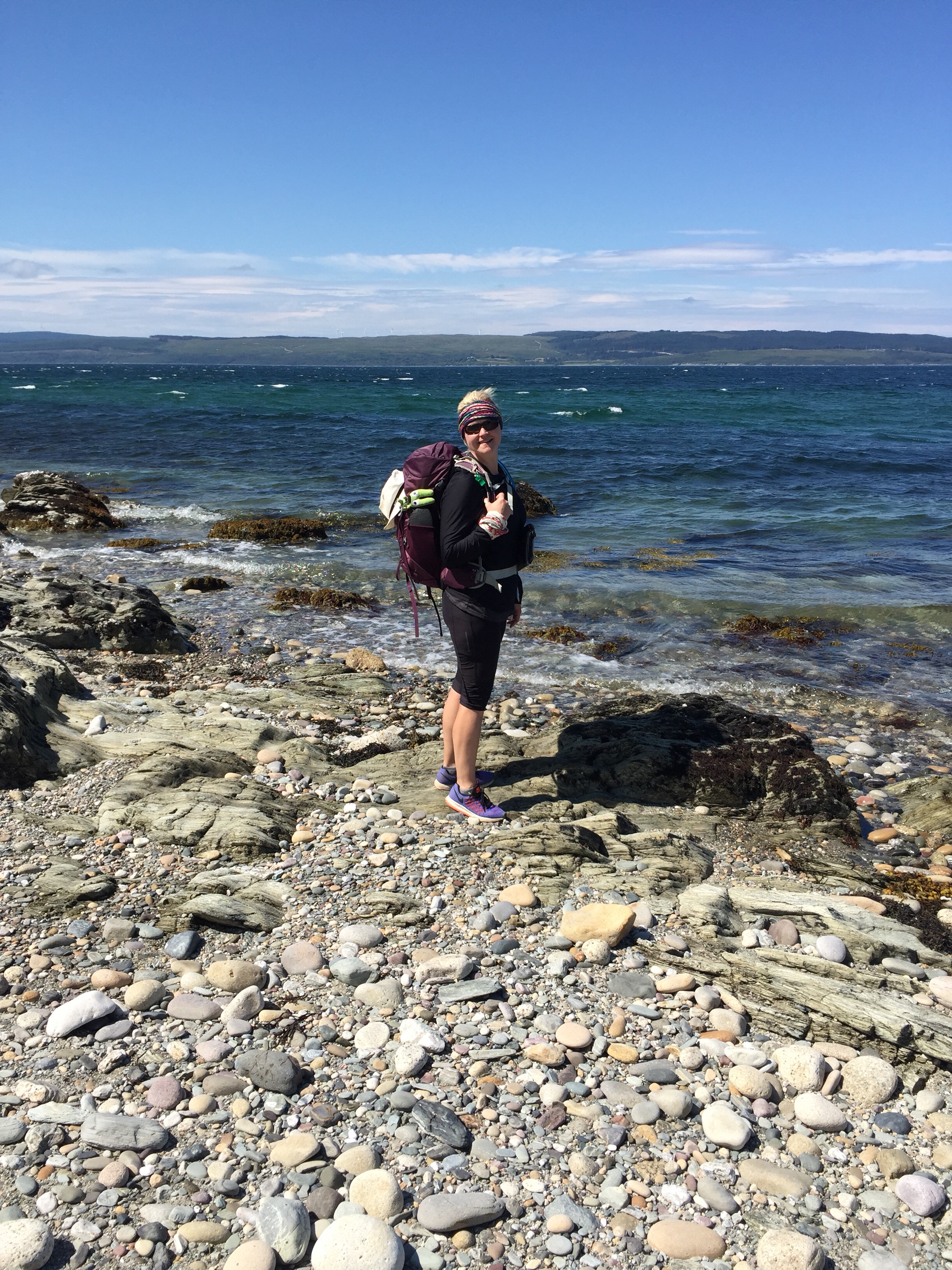
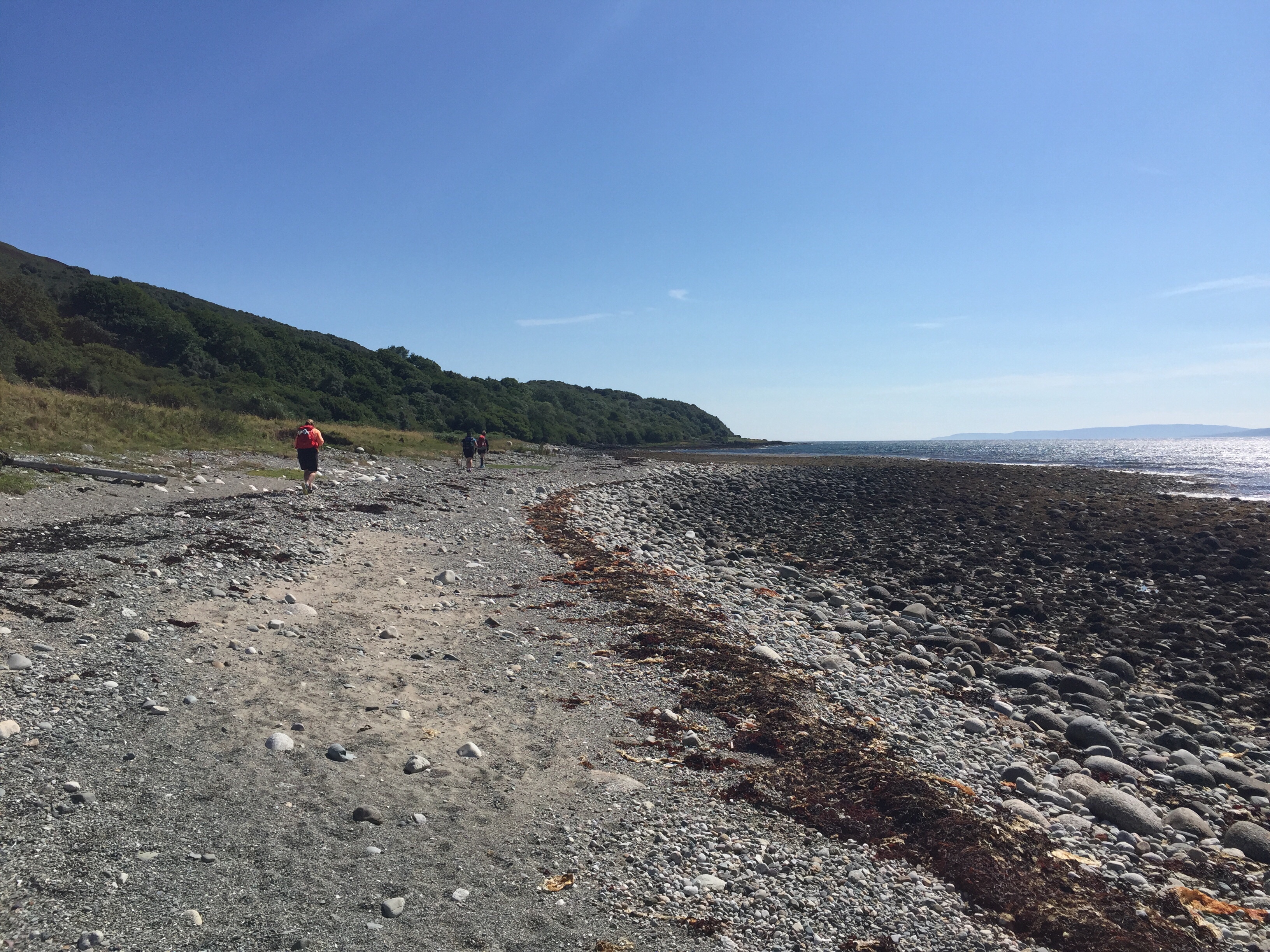
 By mid afternoon we were no longer beach walking but rather rock balancing and hopping – these amazing lava formations stretched for kms of the coast with a few random grassy or beach breaks. The surfaces were very rough making for sticky walking allowing us to easily walk up and over and across, picking the route we wanted so long as the ocean stayed on our right we were heading in the right direction.
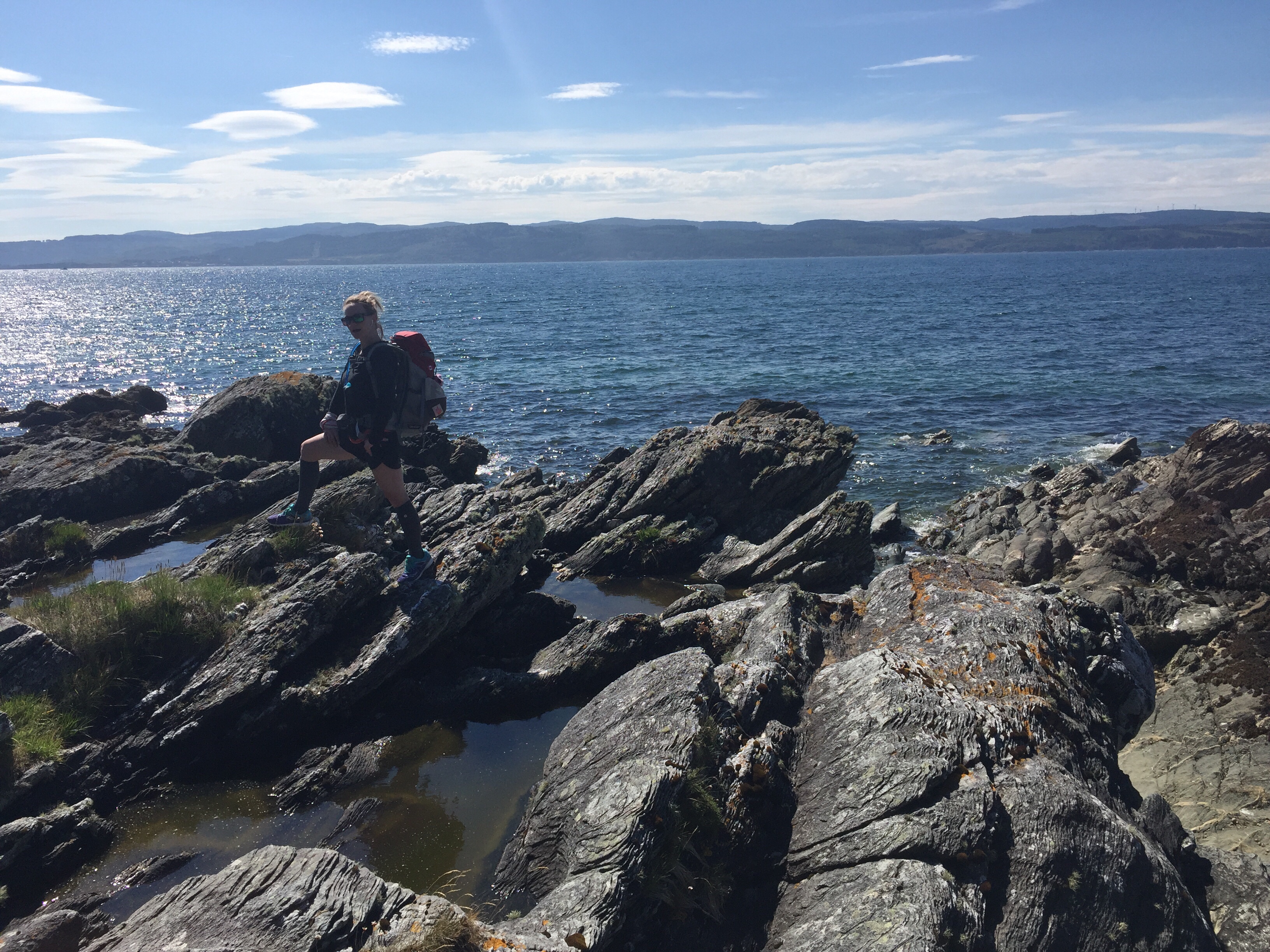
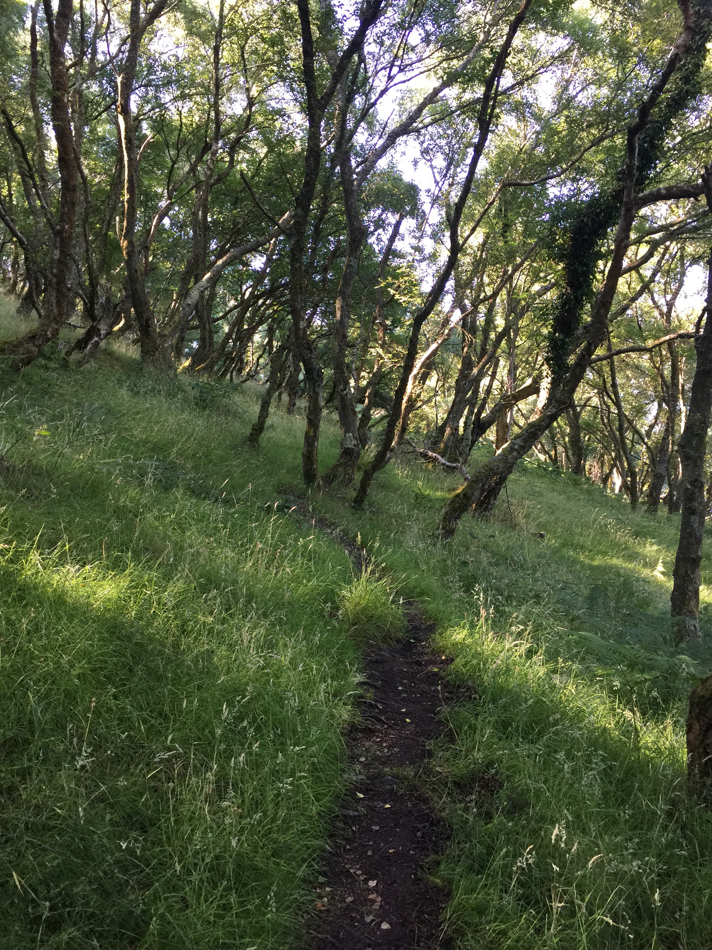
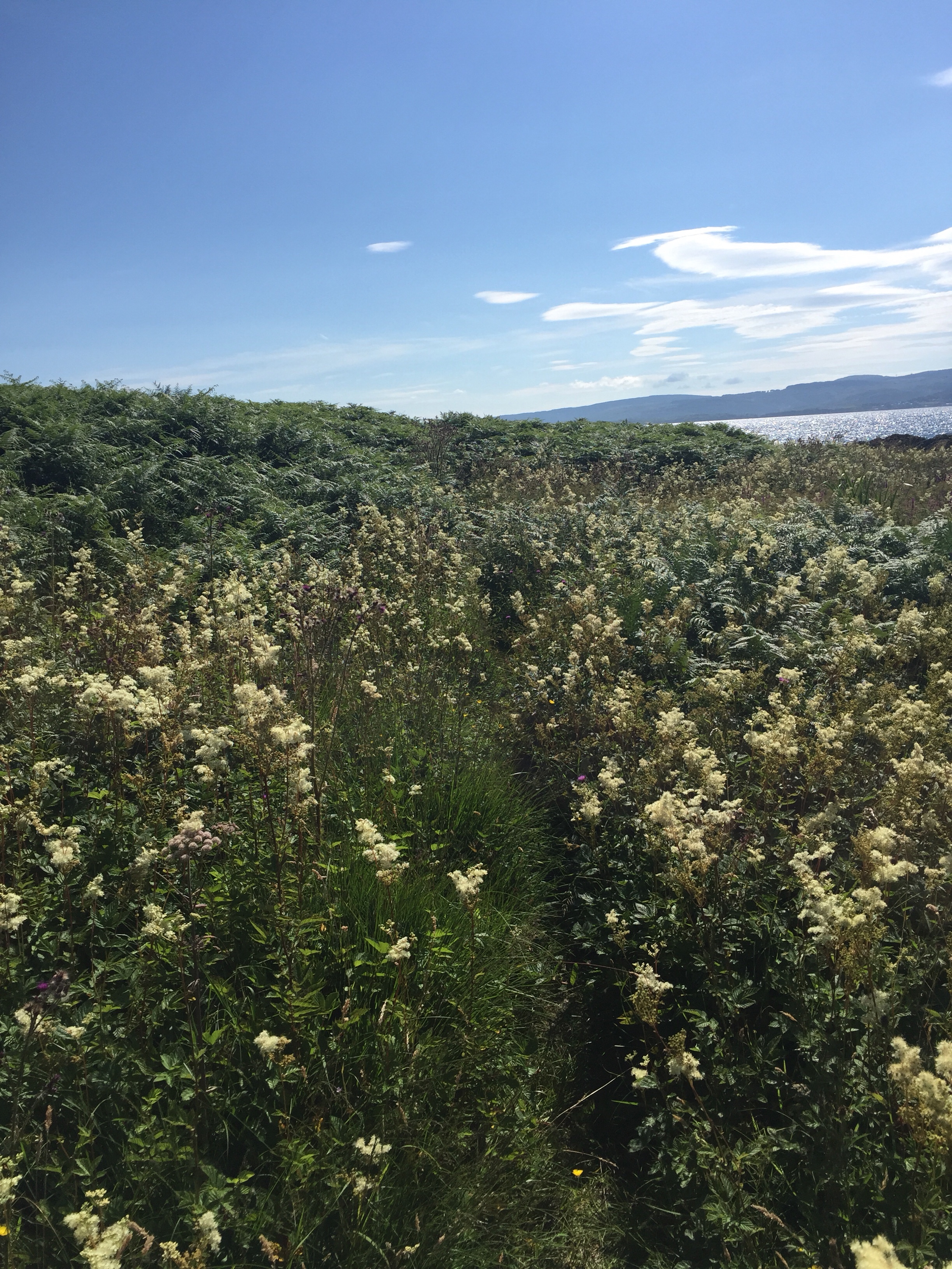
 From here the path turned into a very grassy headland with lots of vegetation- mostly some type of tall fern and thistles. At some points we were pushing through shoulder high ferns on the path hoping spiders and tics were in residence on another part of the island today.
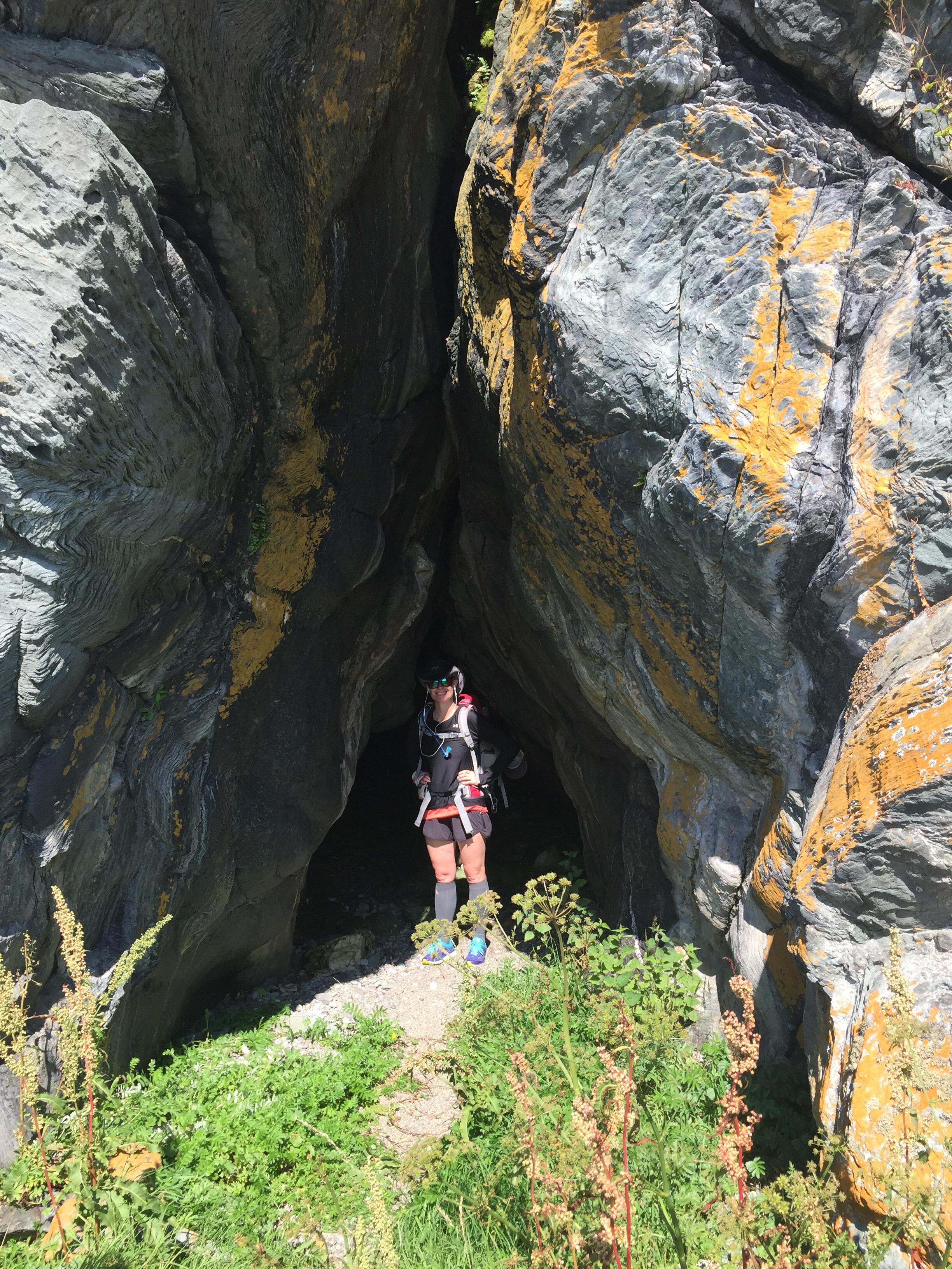
 Totally worth the vegetation foraging as we got a glimpse of a golden eagle above the cliffs and found some cool caves!
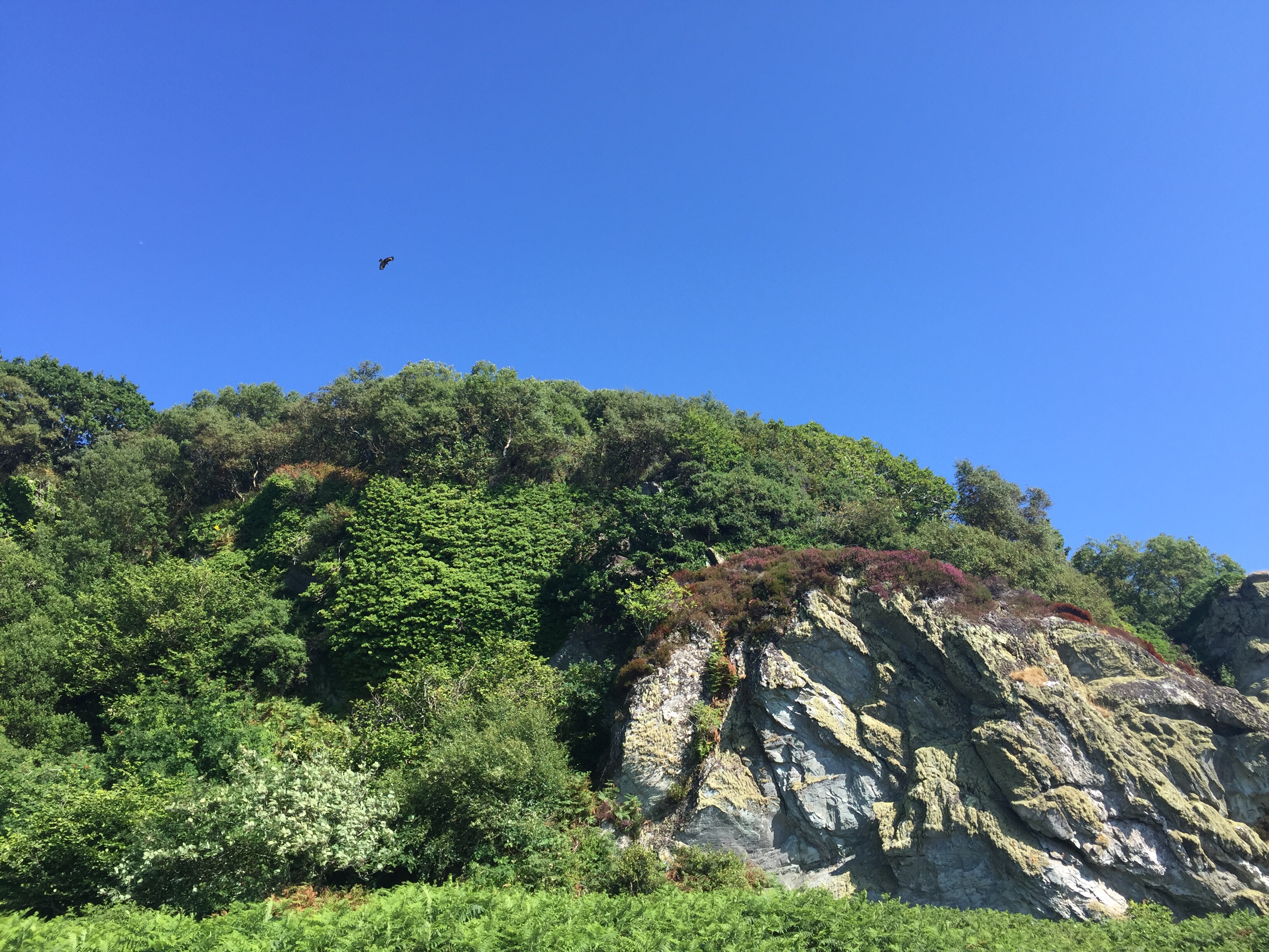
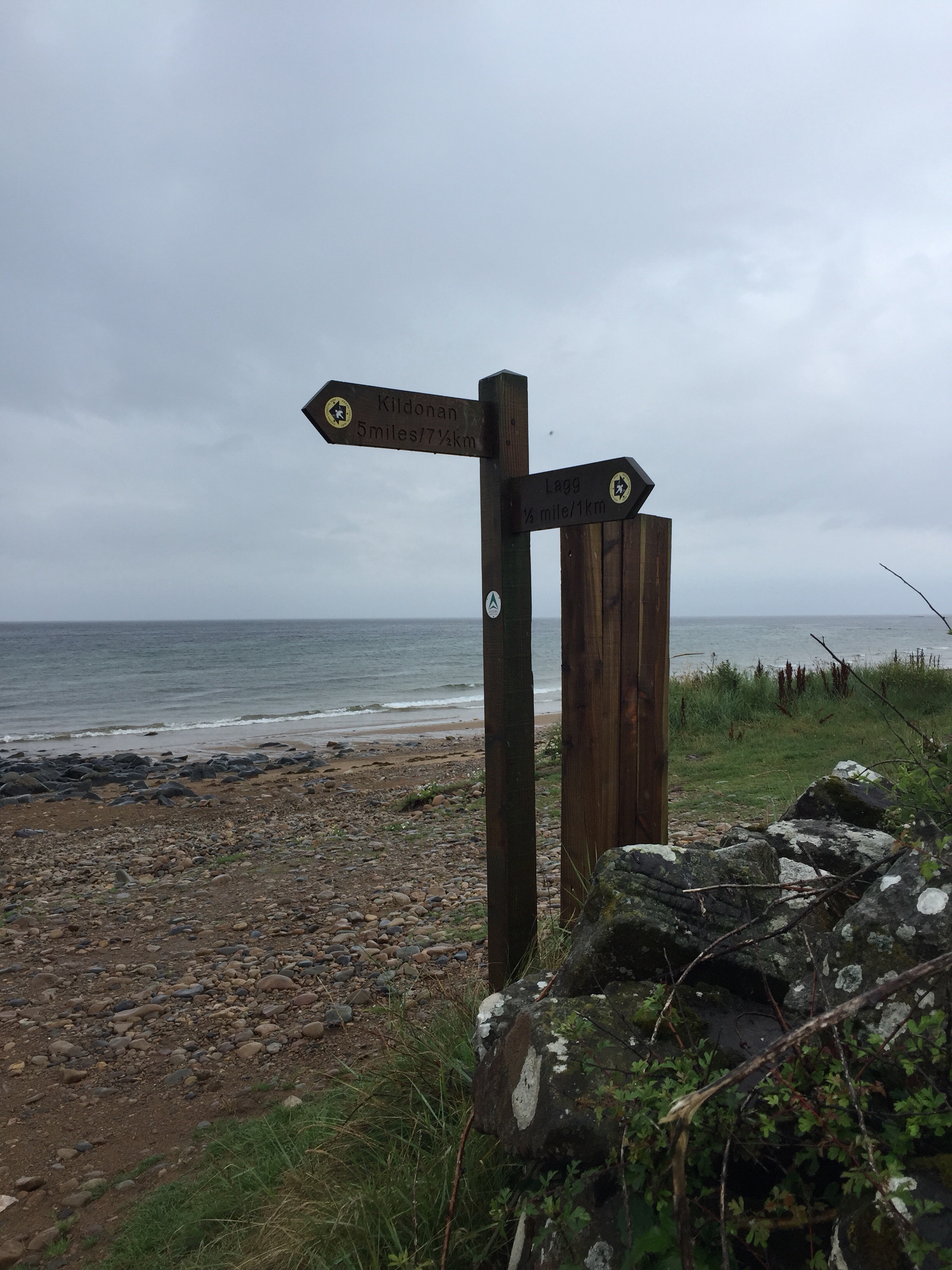
 Our beach walking wrapped up around 430pm and a quick look at the map and some math confirmed we still had 8km of road walking left before our day was done. None of us were keen to be back on the road.
 Instead we called our Greannan B&B lady who was picking us up to drive us to the accomodation in Blackwaterfoot as it was far off today’s walking route. She was lovely and had lots of say about the island so raised our spirits some. Oh and what she couldn’t raise, the beautiful B&B did! A bed has never looked so comfortable!
 No time for resting! It was almost 7pm and we still had to walk … hobble, shuffle, wrangle … the 1km down to the Kinloch Hotel for some supper before they stopped serving meals. Our B&B lady was so sweet and called to book us a table to we wouldn’t miss out on getting some eats! We cheered our amazing but tough day and commiserated on our hate for road walking over cold pints!
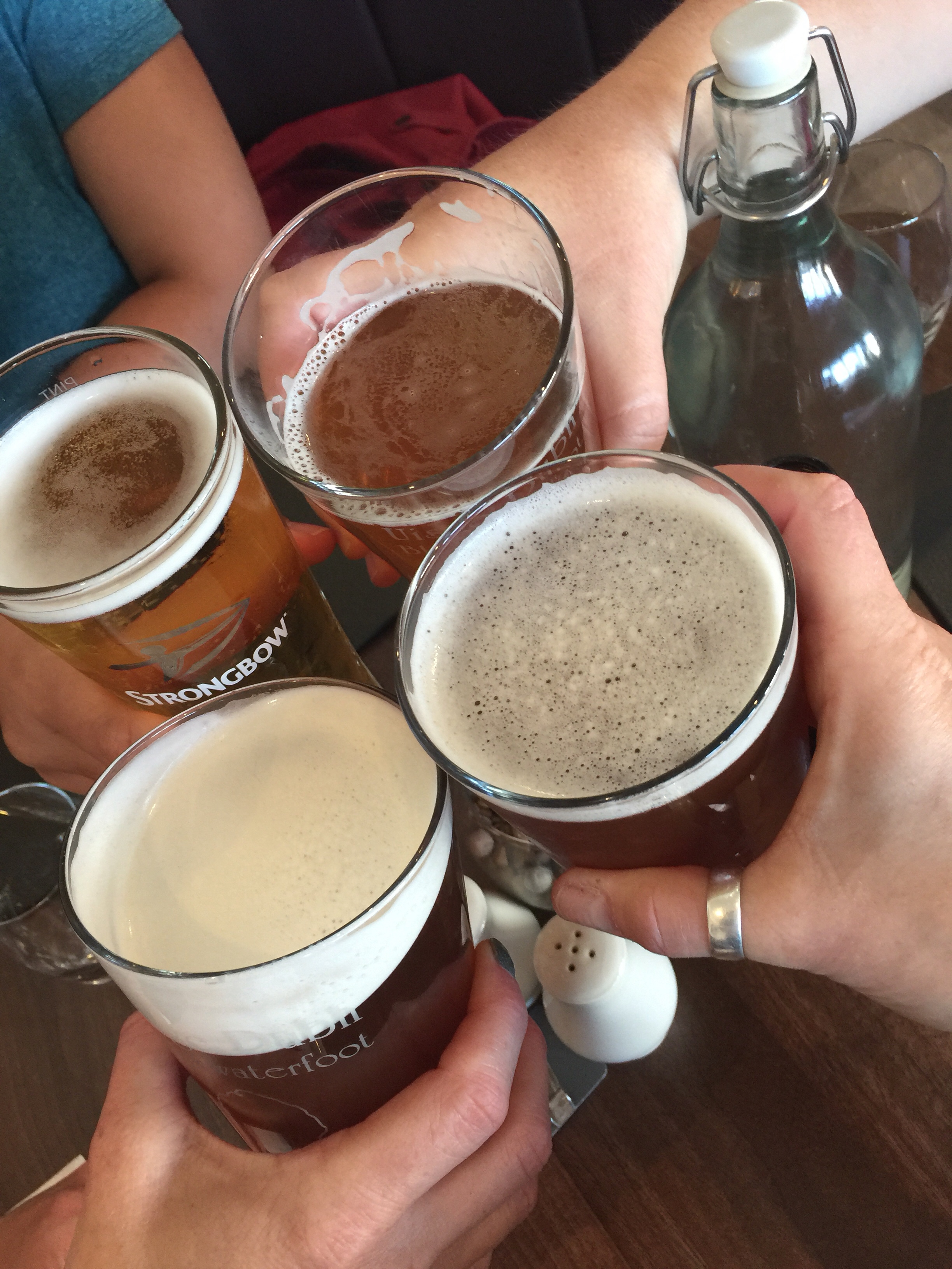 What an awesome day and fantastic evening meal – now let’s back to our home for the night to tend to the blisters, muscle pain and sun burns!