Coast to Coast Day 16 Egton Bridge to Robin Hoods Bay

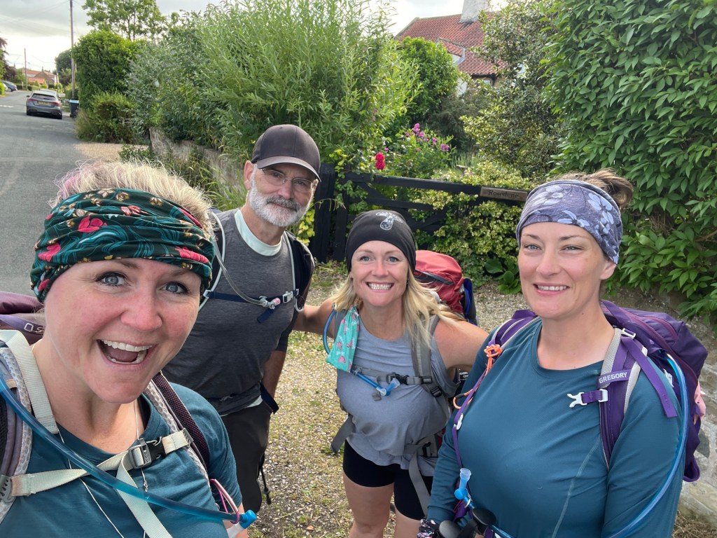
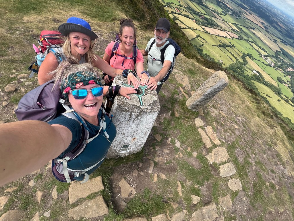
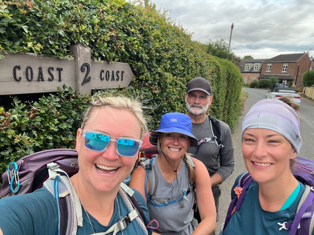
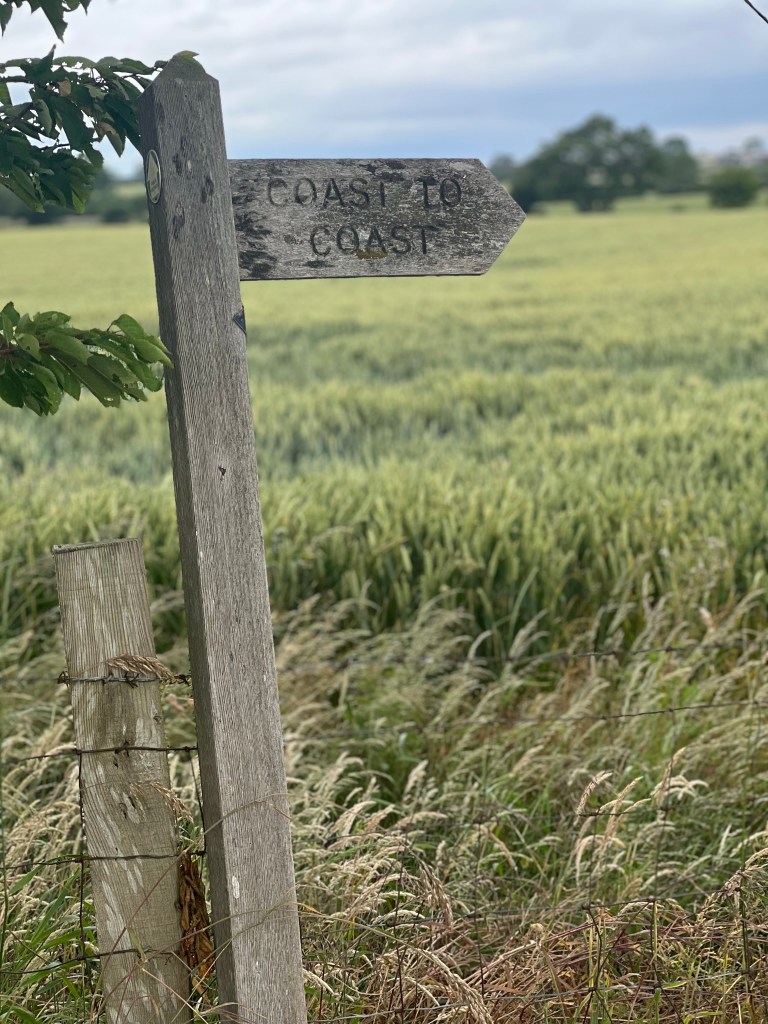
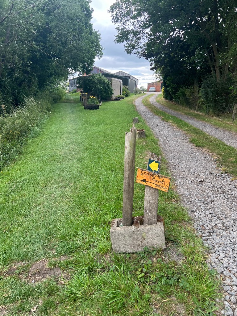
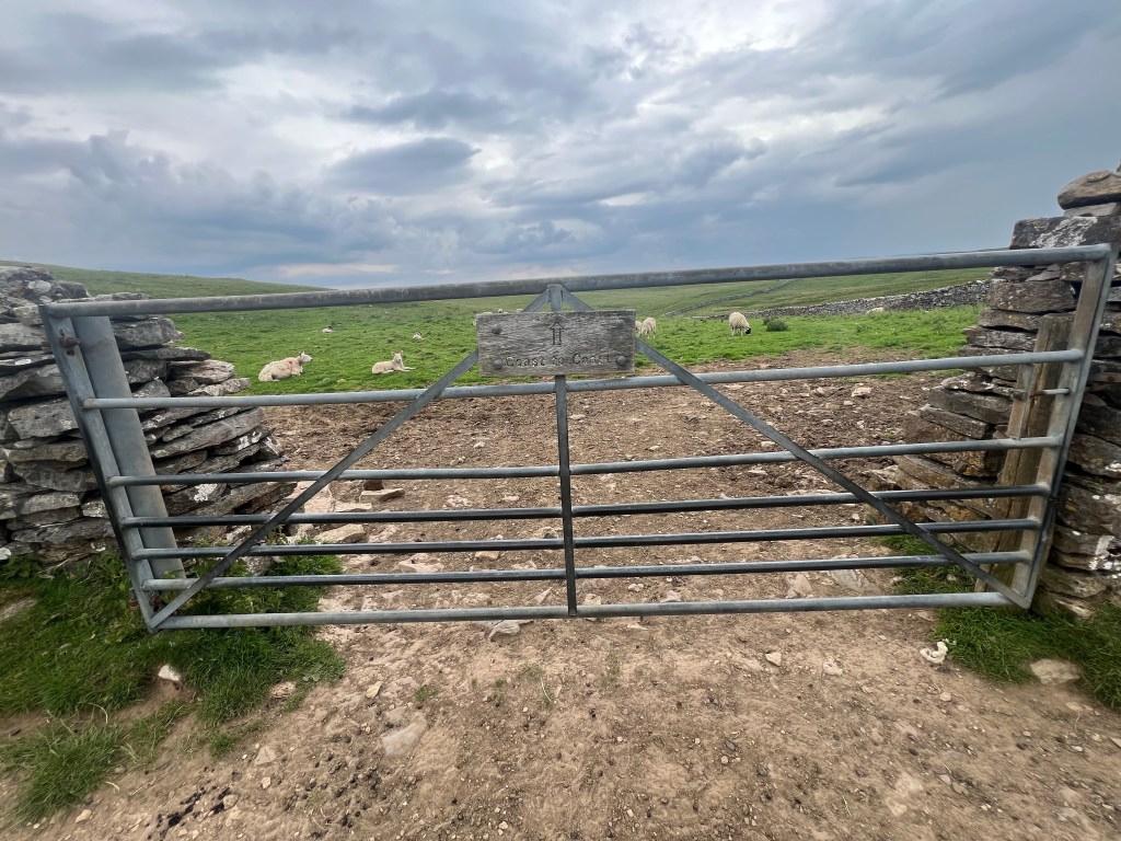
Finished! We wrapped up our 16th day of walking the 300+ kilometer Coast to Coast Path yesterday afternoon at the ‘finish line’ in Robin’s Hood Bay! What a journey.

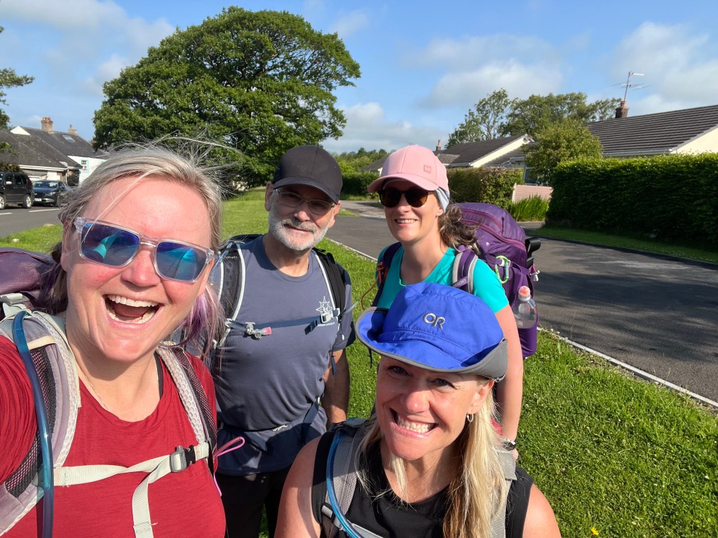
We started the day with some buttermilk pancakes (excited for anything other than the 16th English full breakfast) at the Horseshoe Hotel in Egton Bridge. Stepping out of the hotel door and onto the path earlier than usual at about 830am and in fantastic hiking weather!

We had 26.5km to cover – our longest day yet – and the high of 17C, overcast but with little chance of actual rain all day is what I would call perfection.

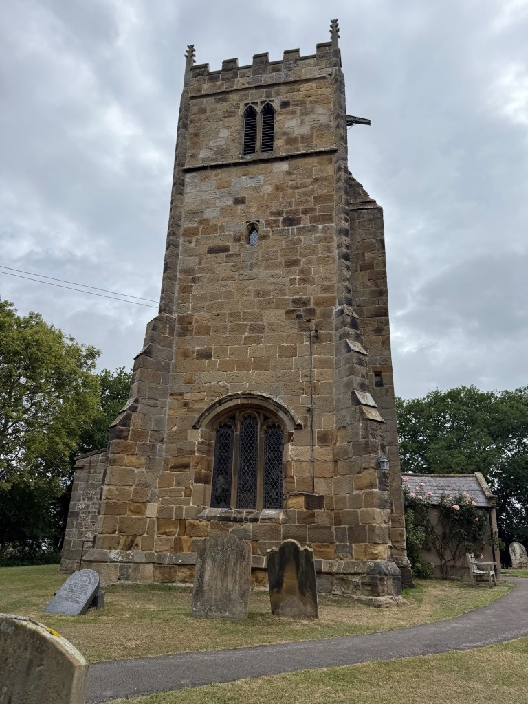
We started with a short 30min flat walk from Egton Bridge to Grosmont.

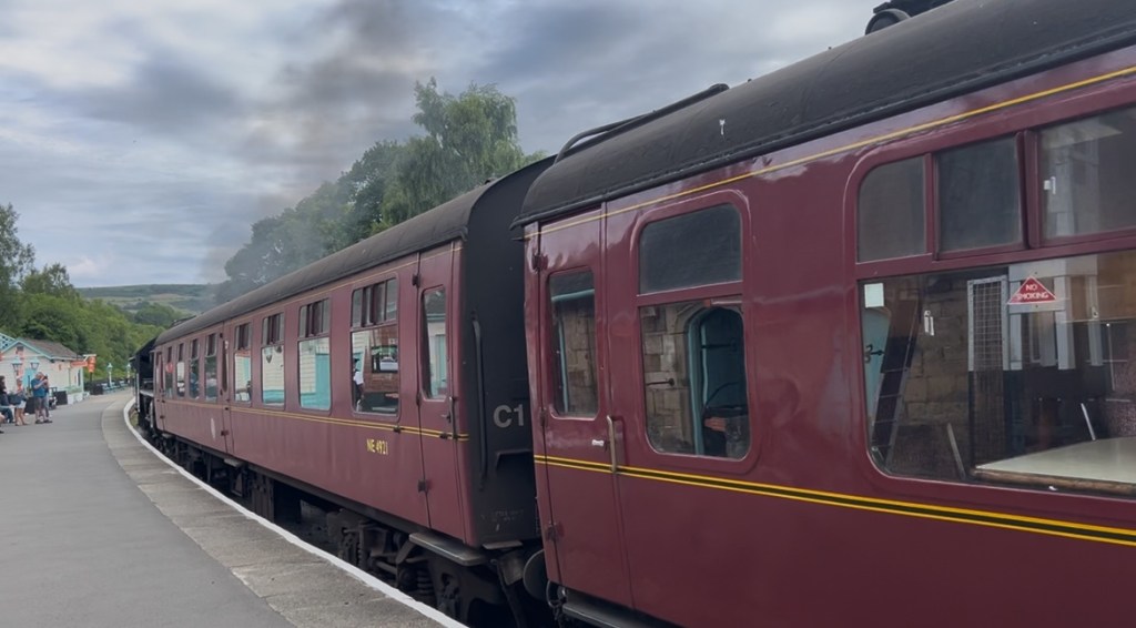
When we hit Grosmont, we popped into the local Cooperative Store to pick up lunch and snack provisions for the day. Our timing was epic – a steam train came as we were in town and right next to the train station. I am a huge Harry Potter fan so rather obsessed with steam trains and UK train platforms!

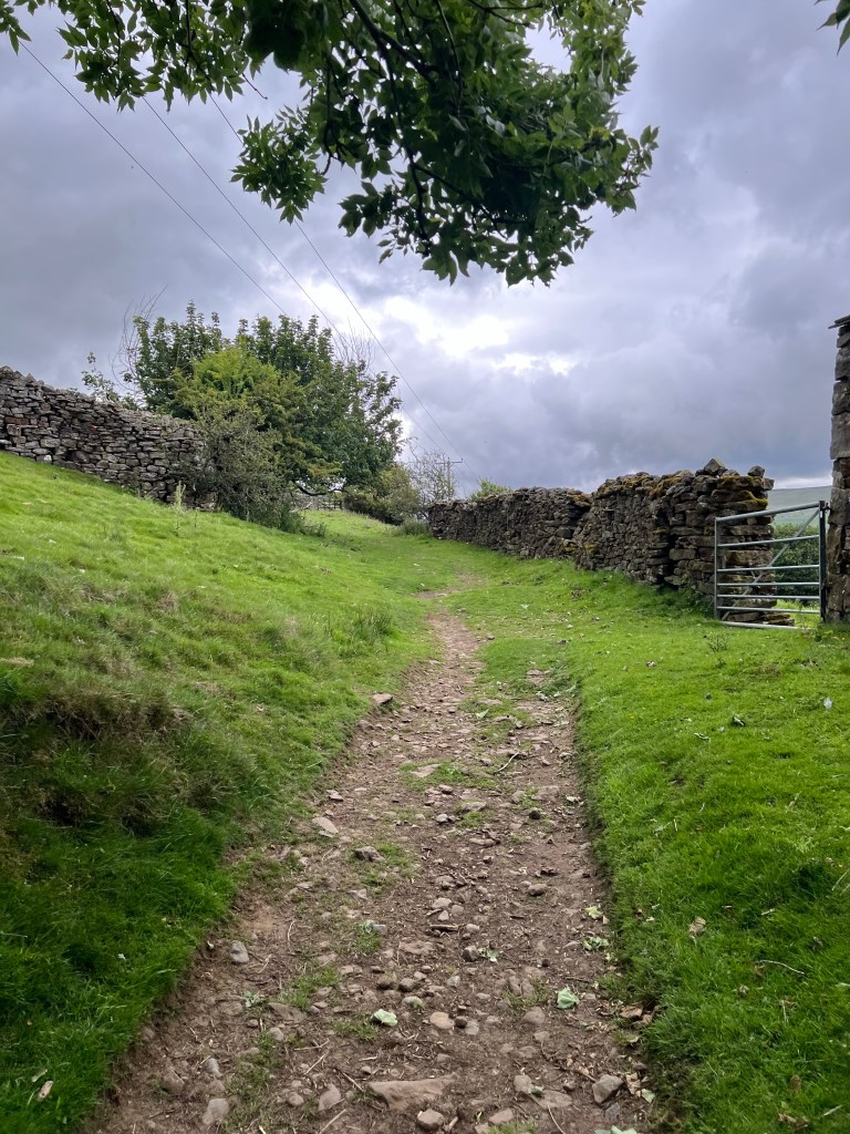
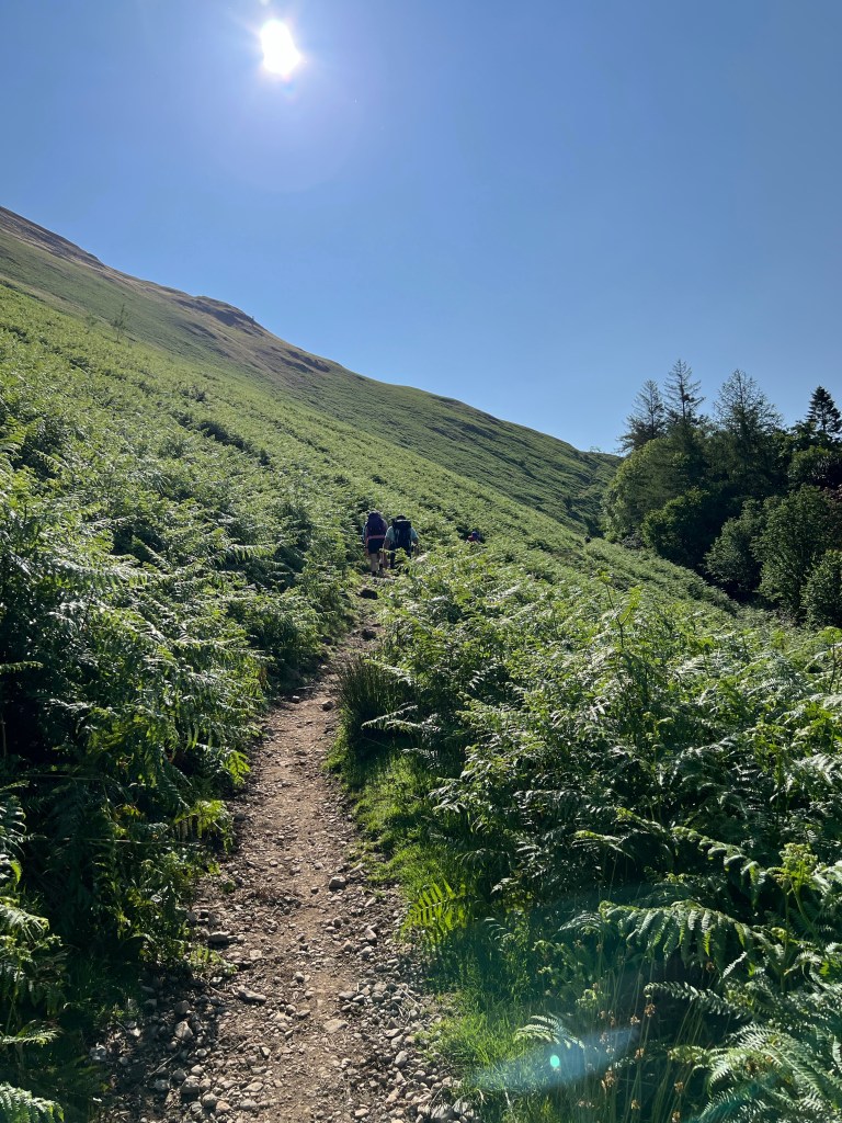
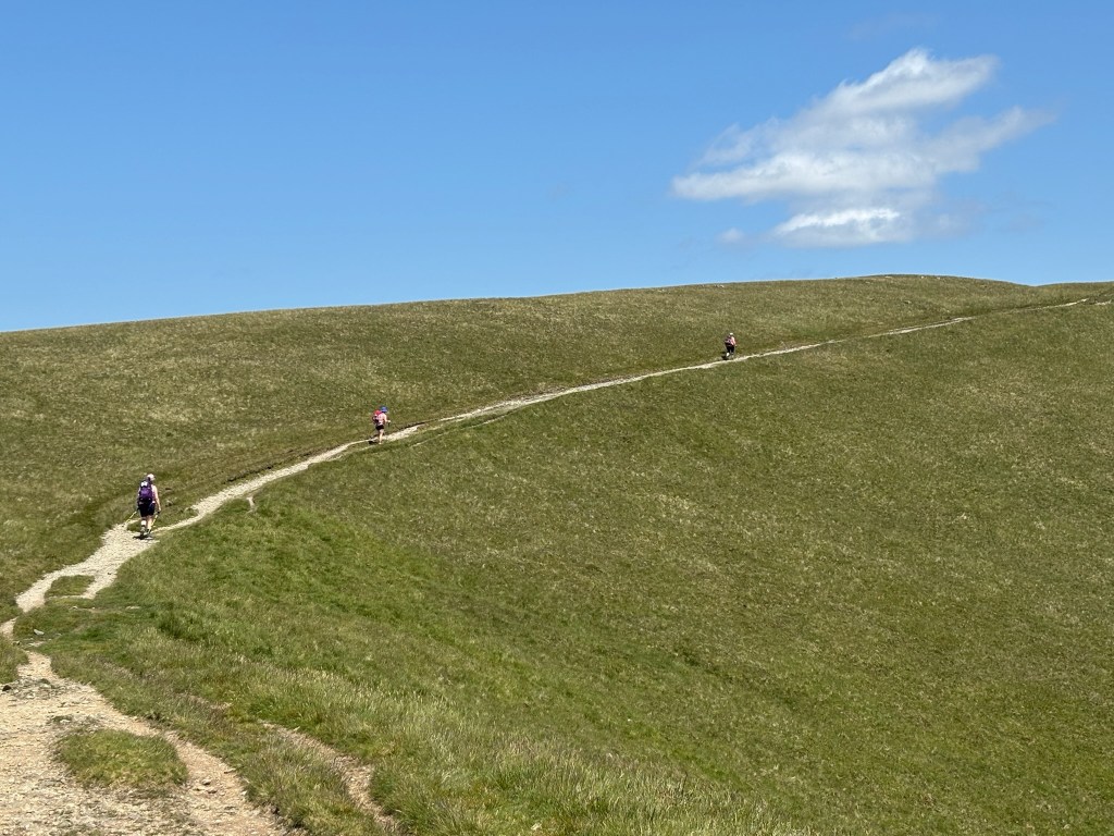
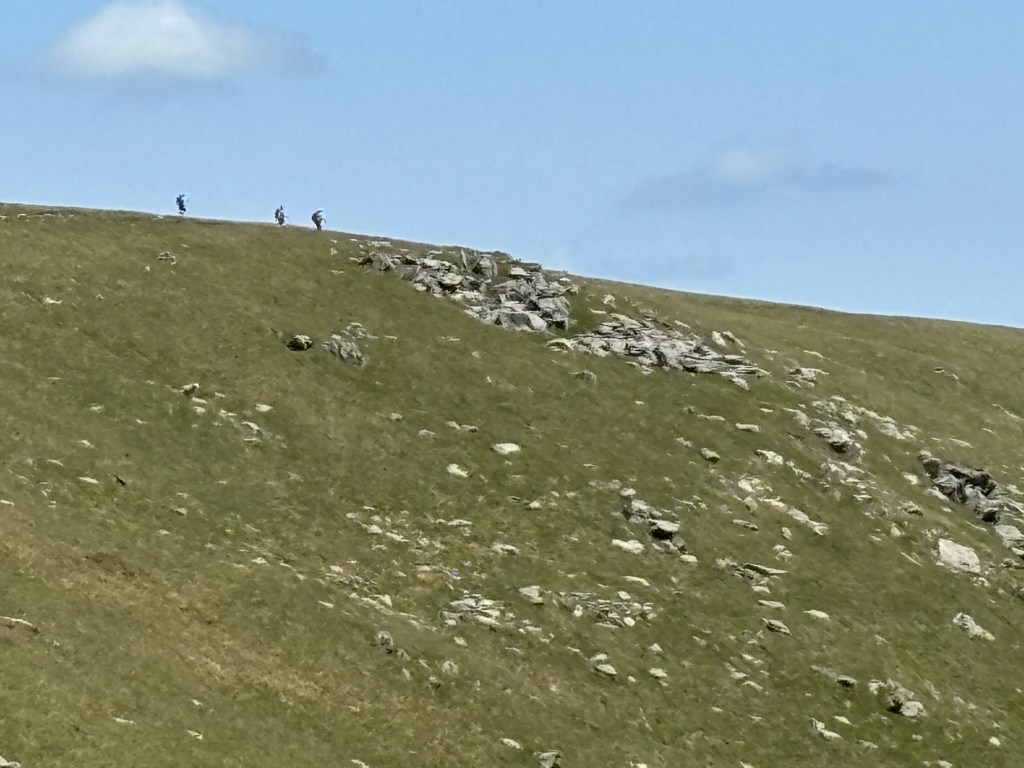
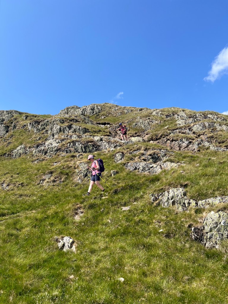
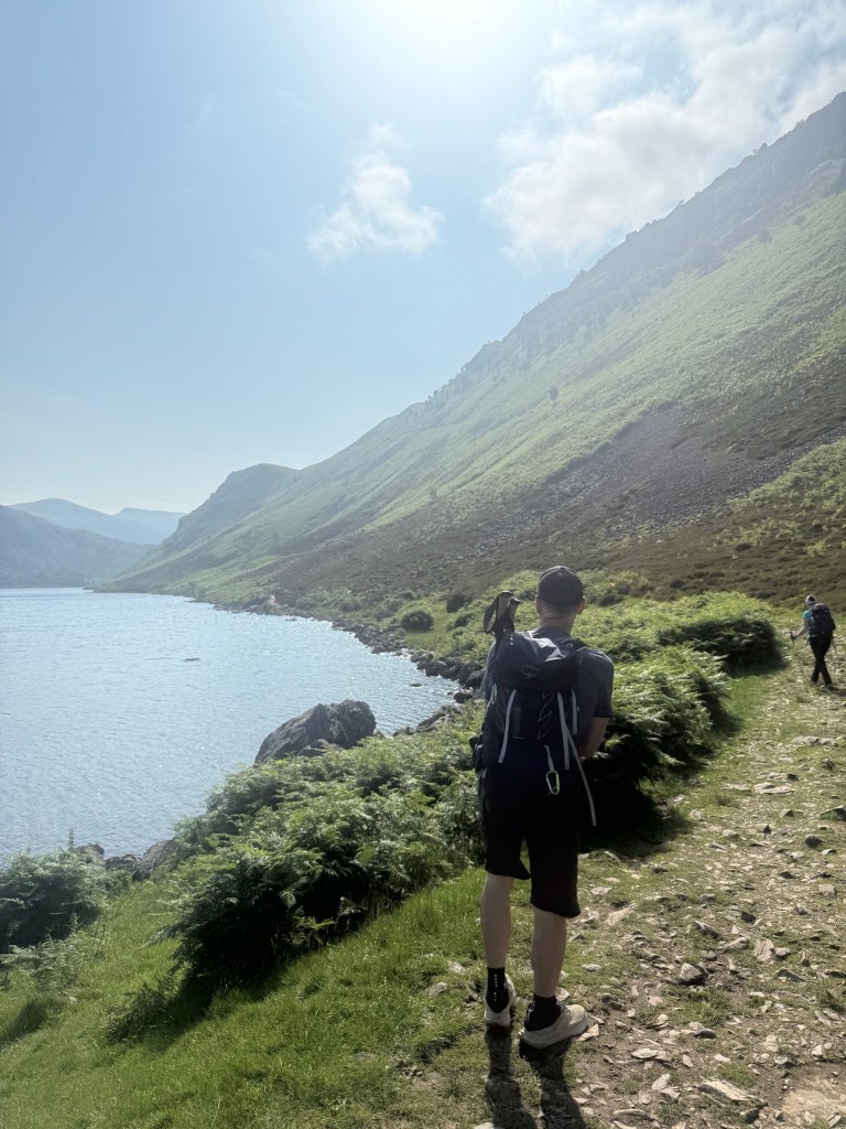
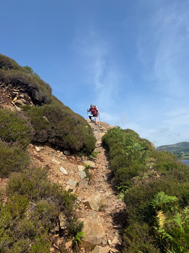
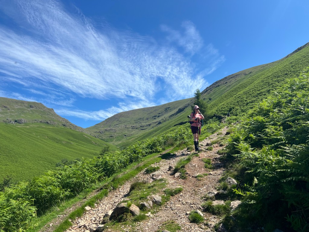
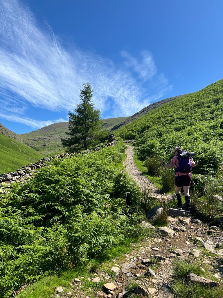
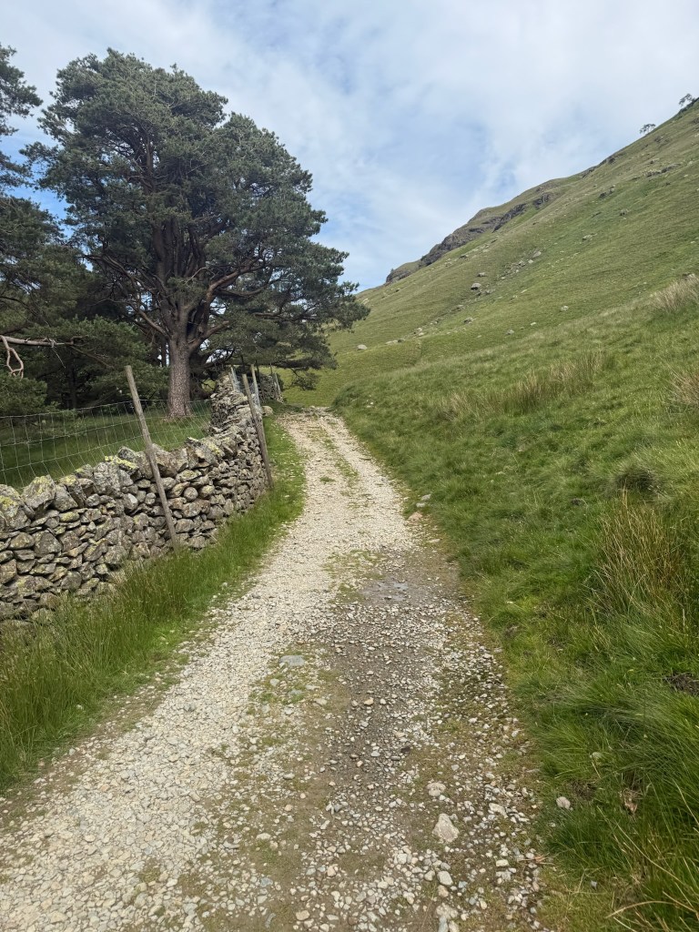
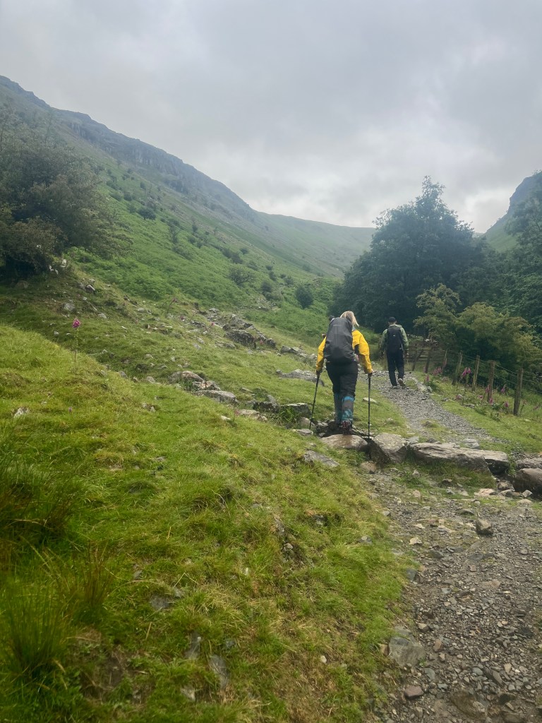
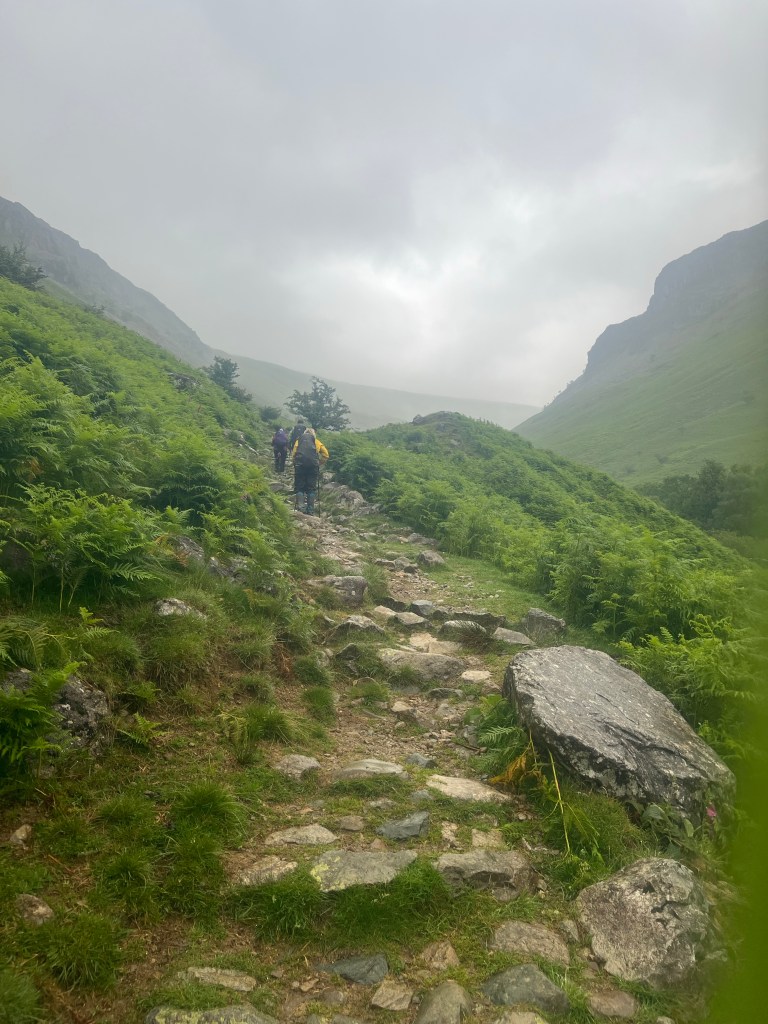
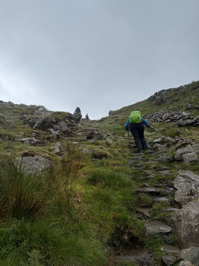
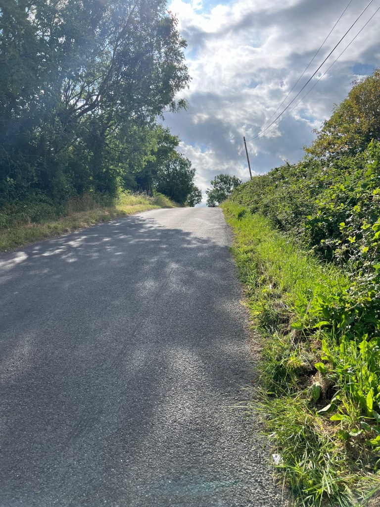
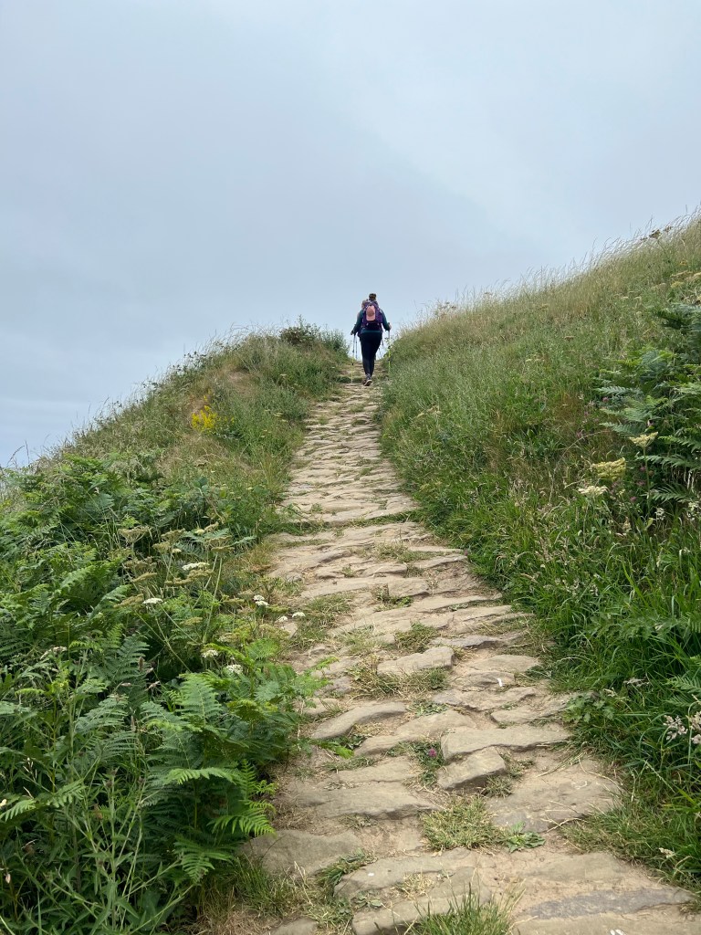
Back at it, the climb out of Grosmont was no joke! Over a mile, on the road and at a 33% grade for much of it, that was some kind of obstacle! Up and up and up we went.

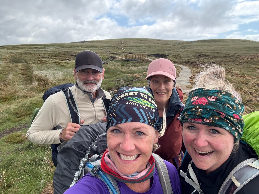
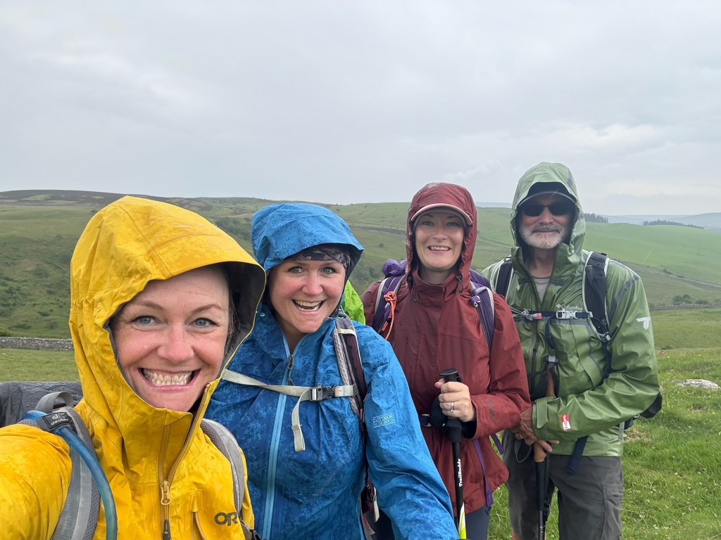
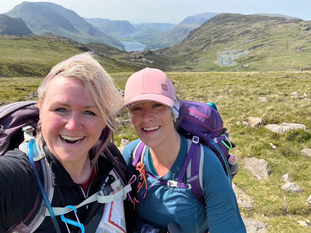
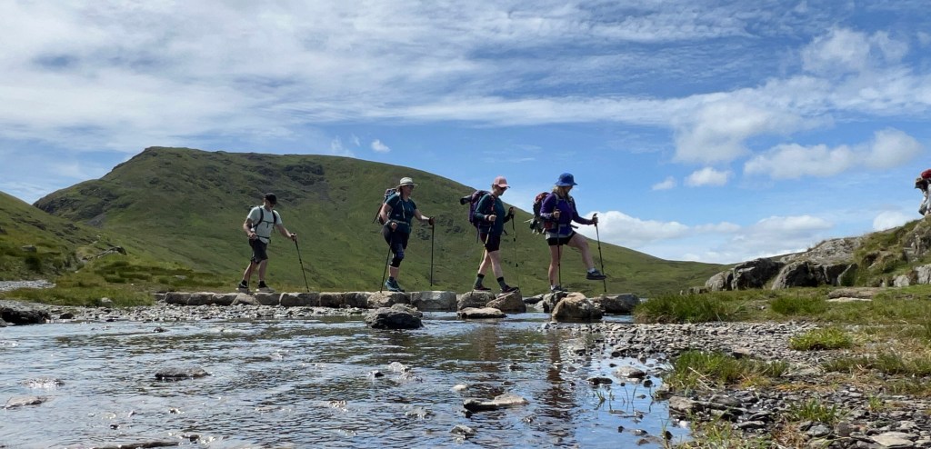
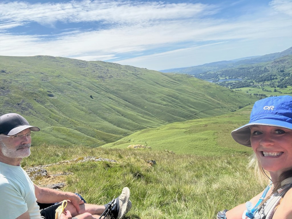
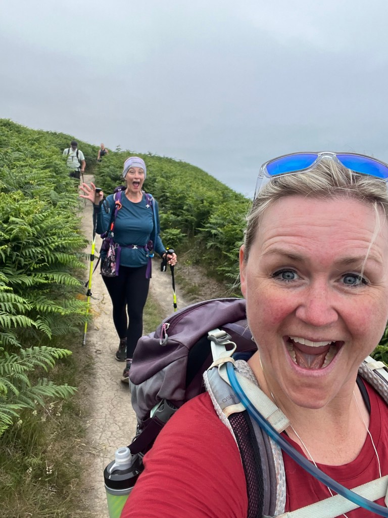
This is where Shar and Dad as Summit Seekers excel. Heads down, they get it done quick. In contrast, this is where Hailey and I, as the (mountain) Valleys Girls, make it happen efficiently while also enjoying the sights – like the snake, frog, and deer – on the way up.

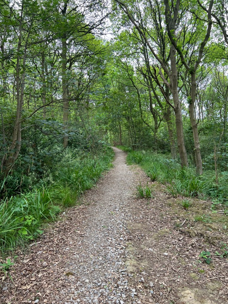
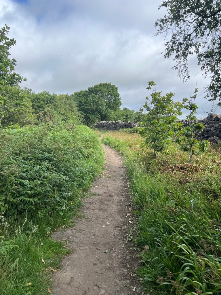
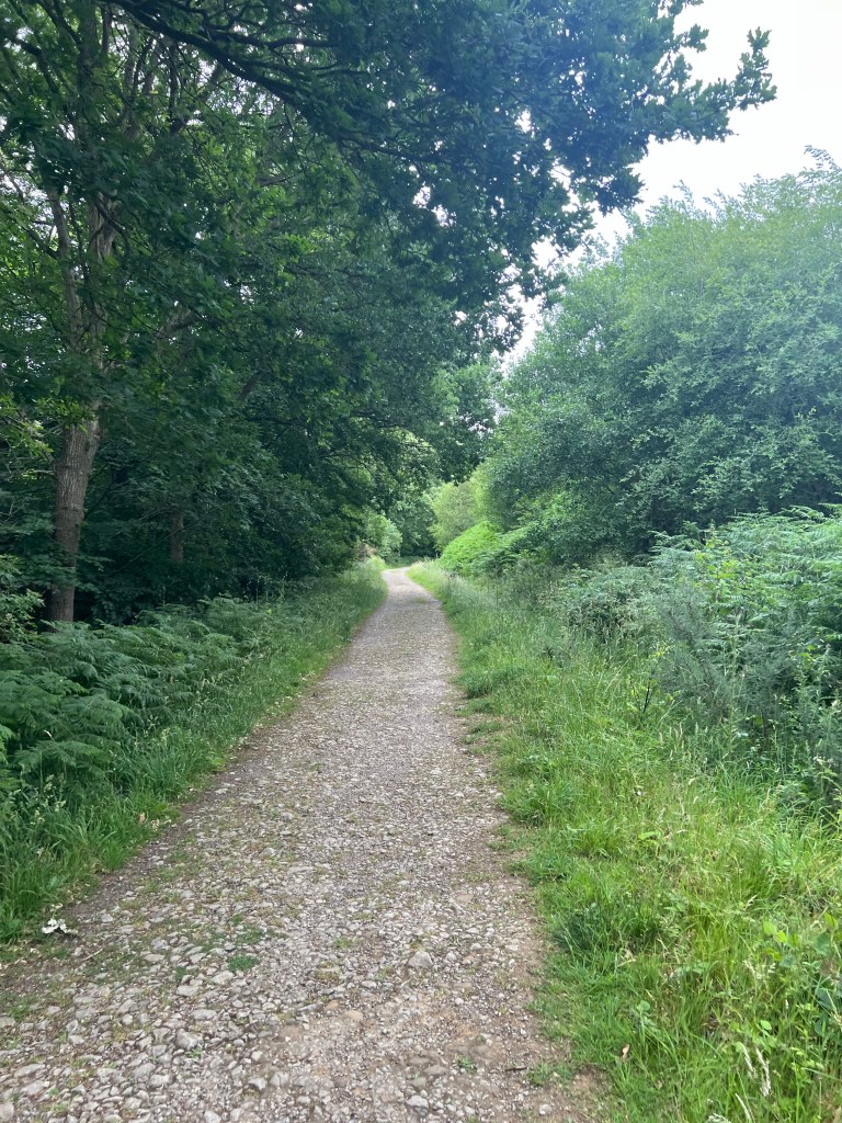
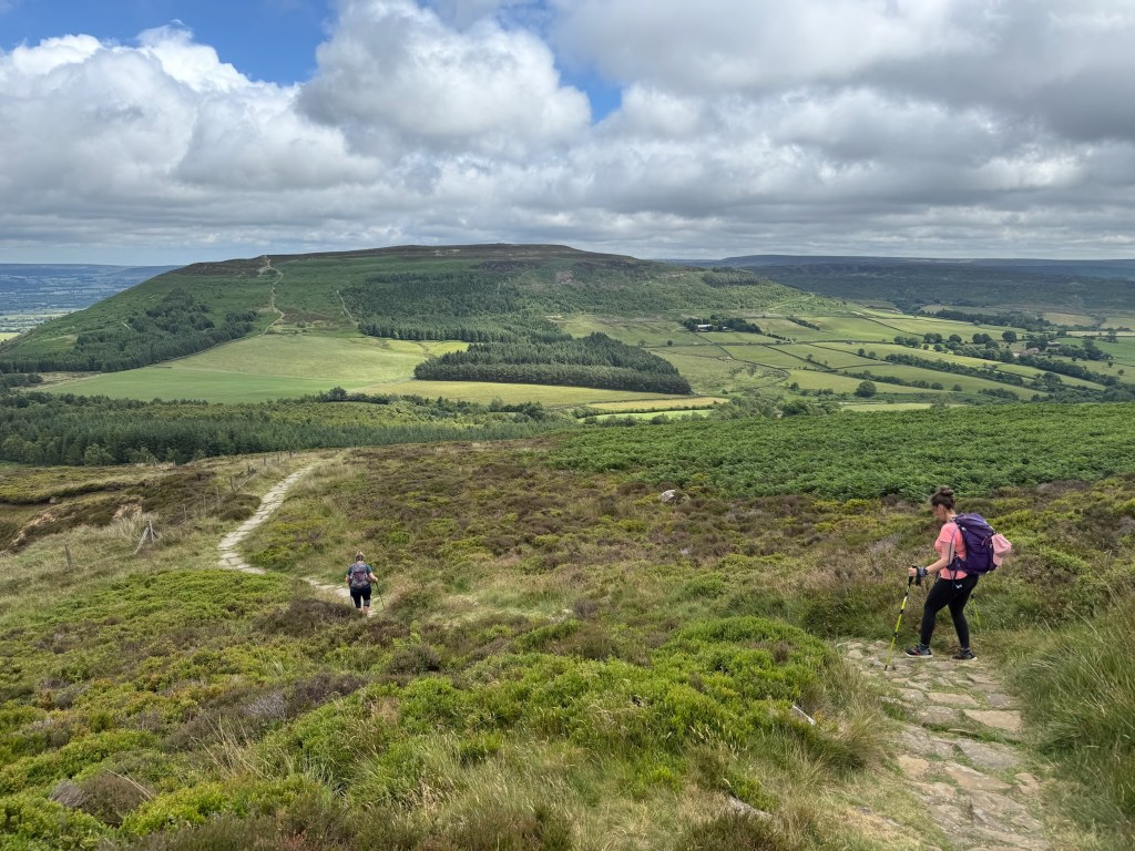
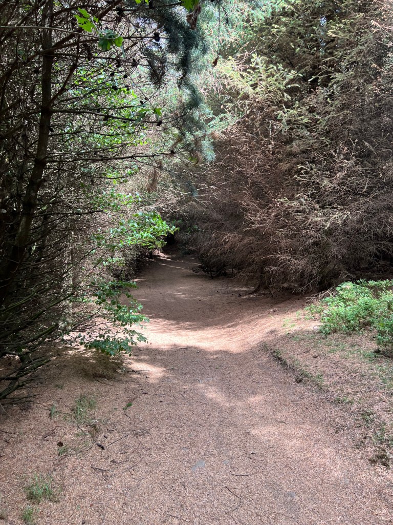
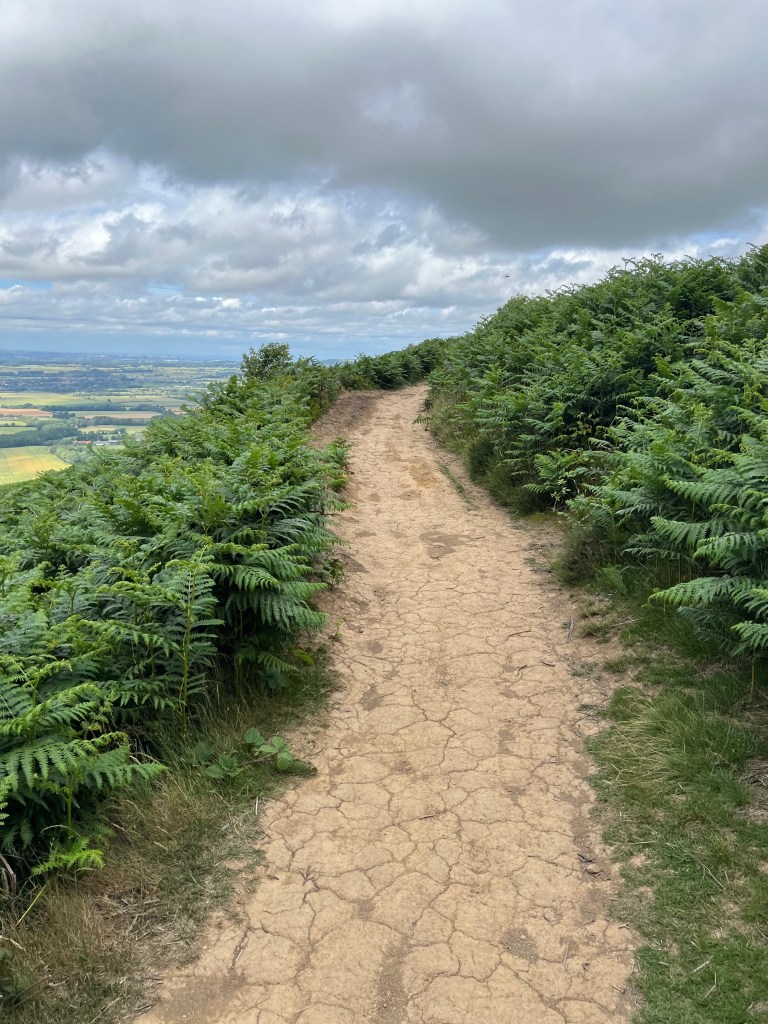
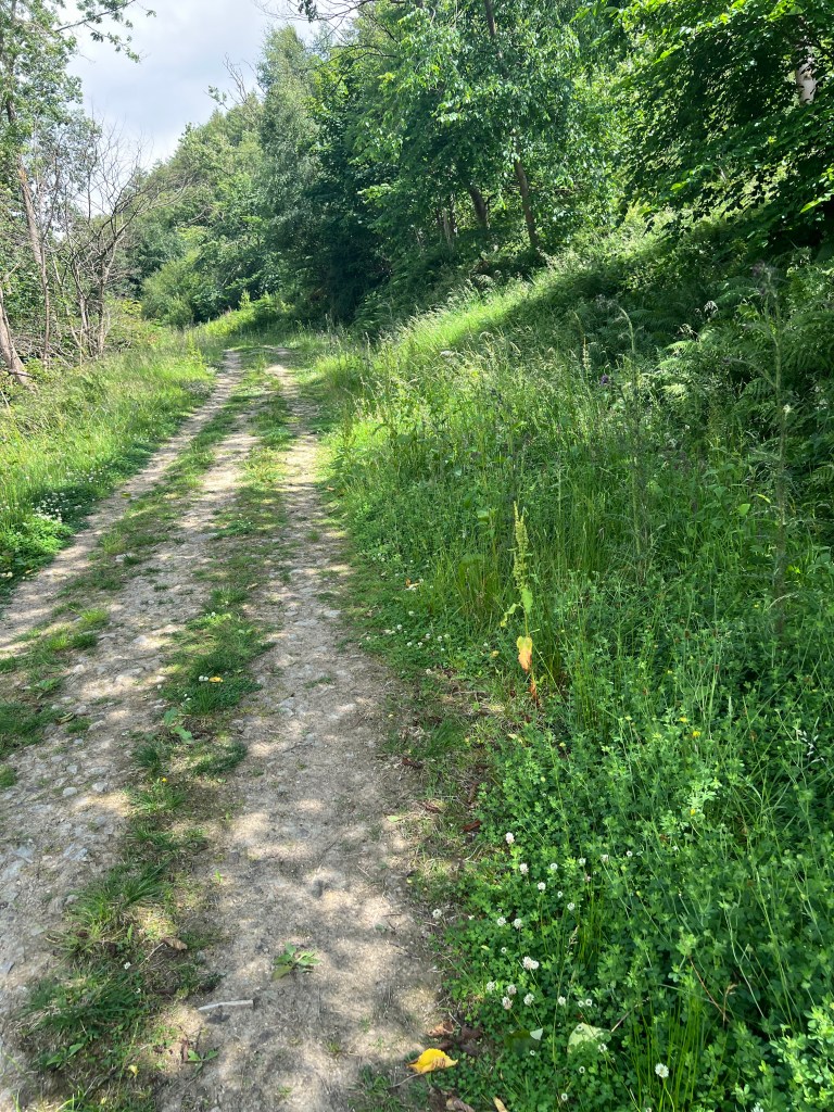
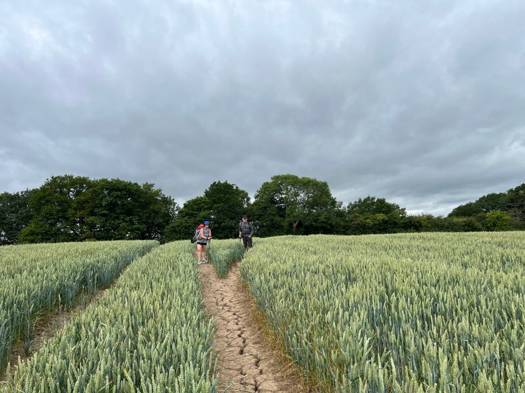
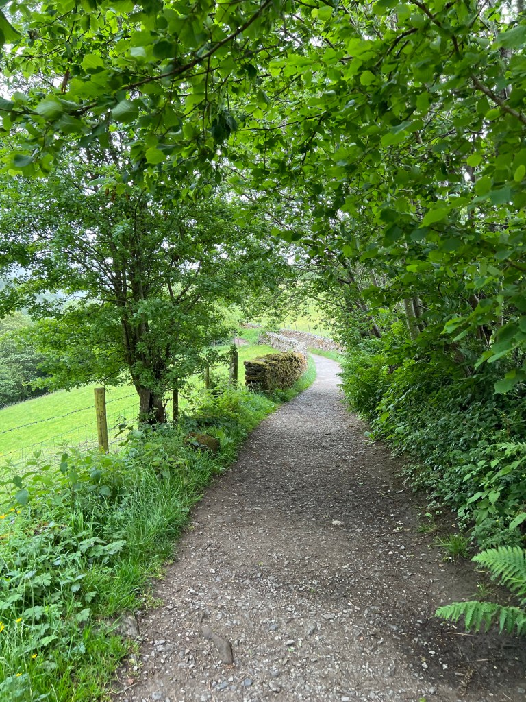
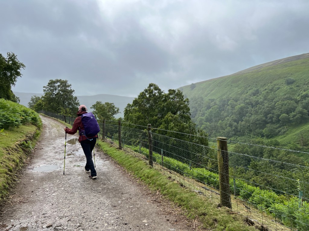
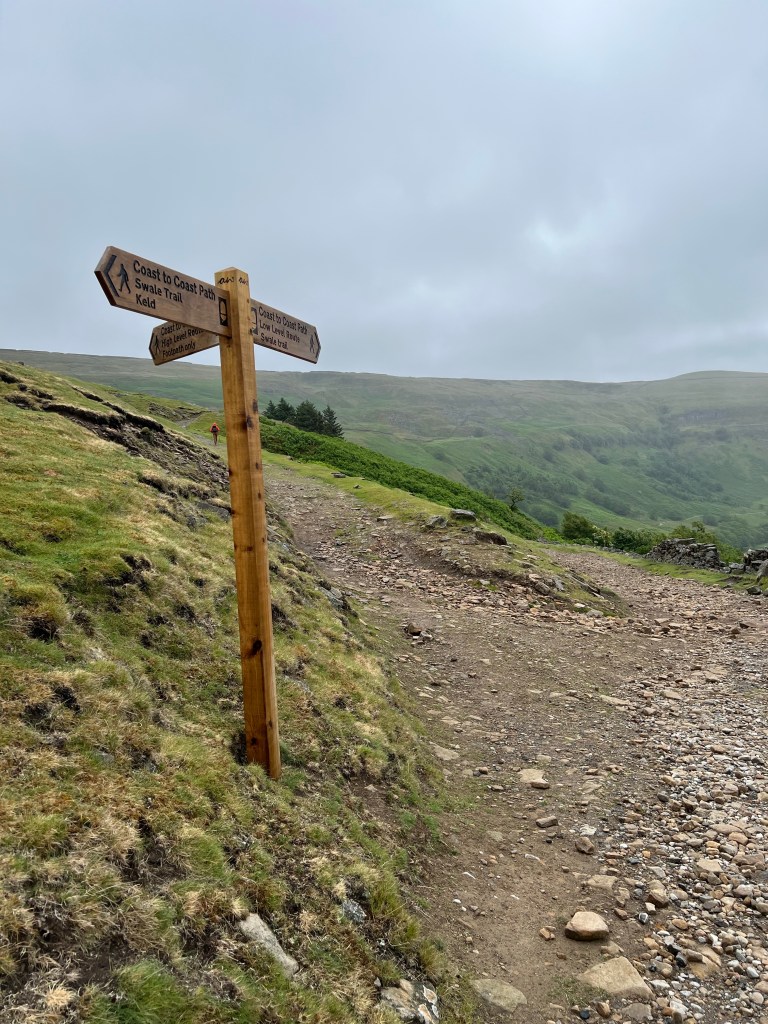
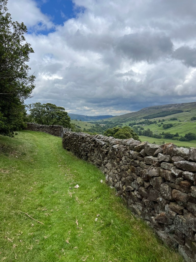
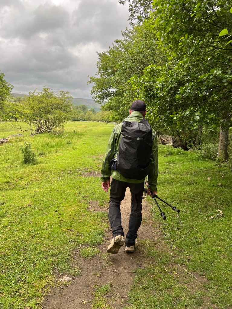
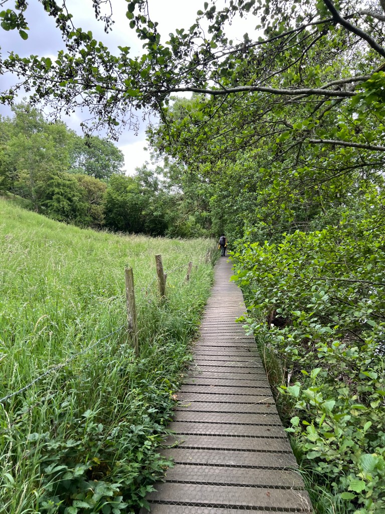
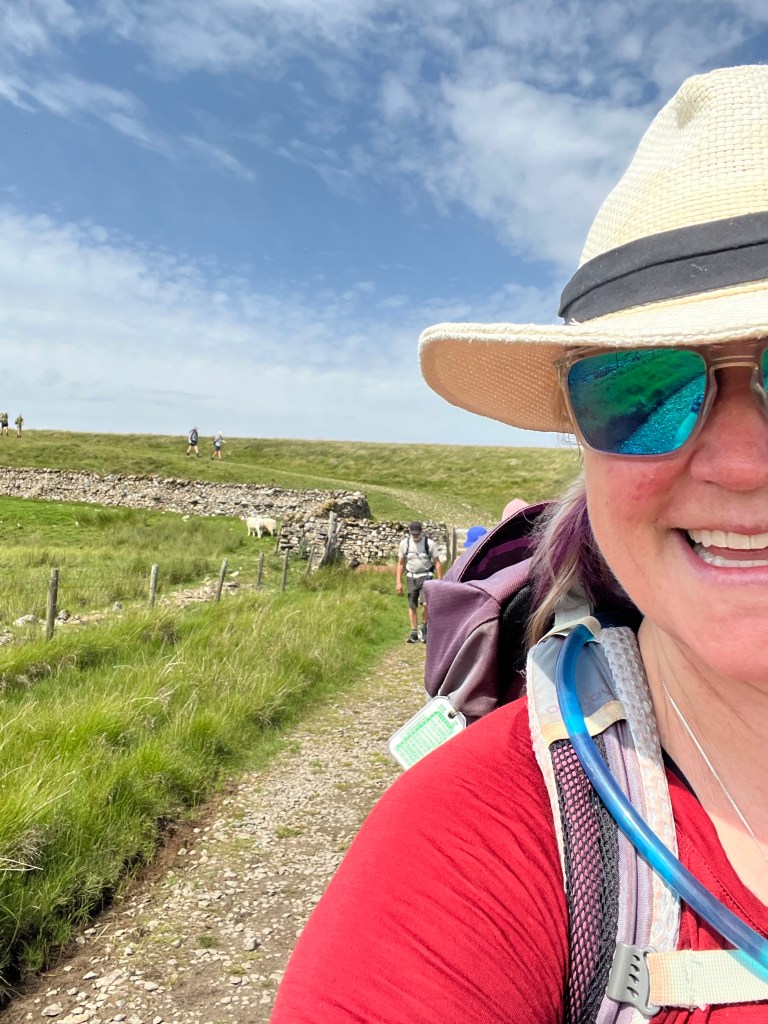
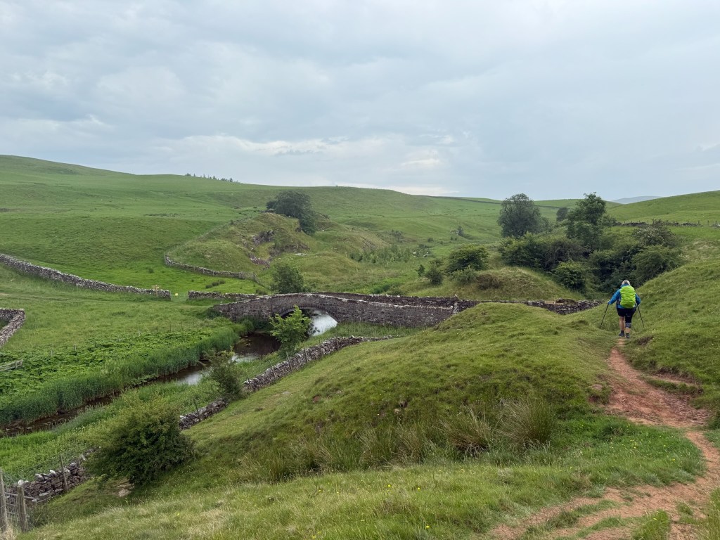
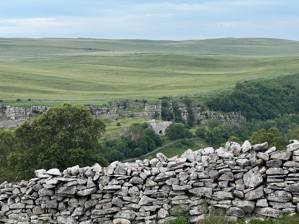
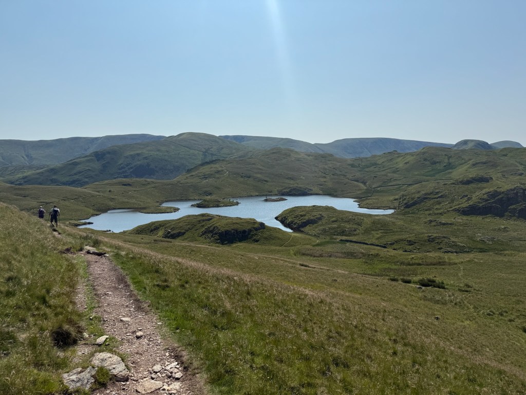
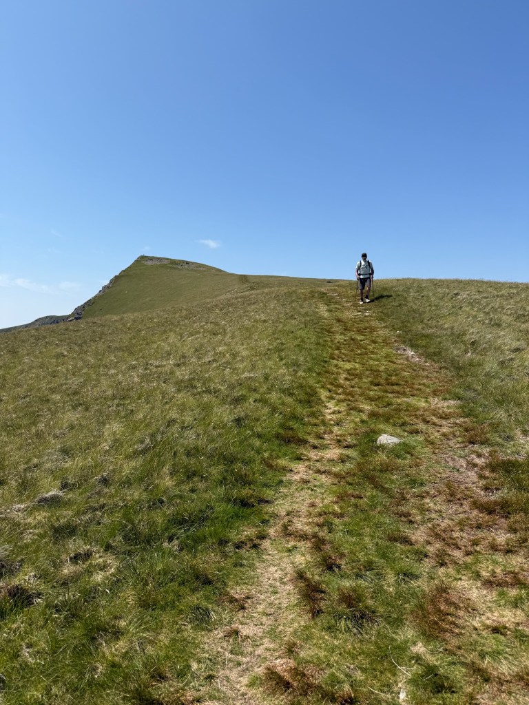
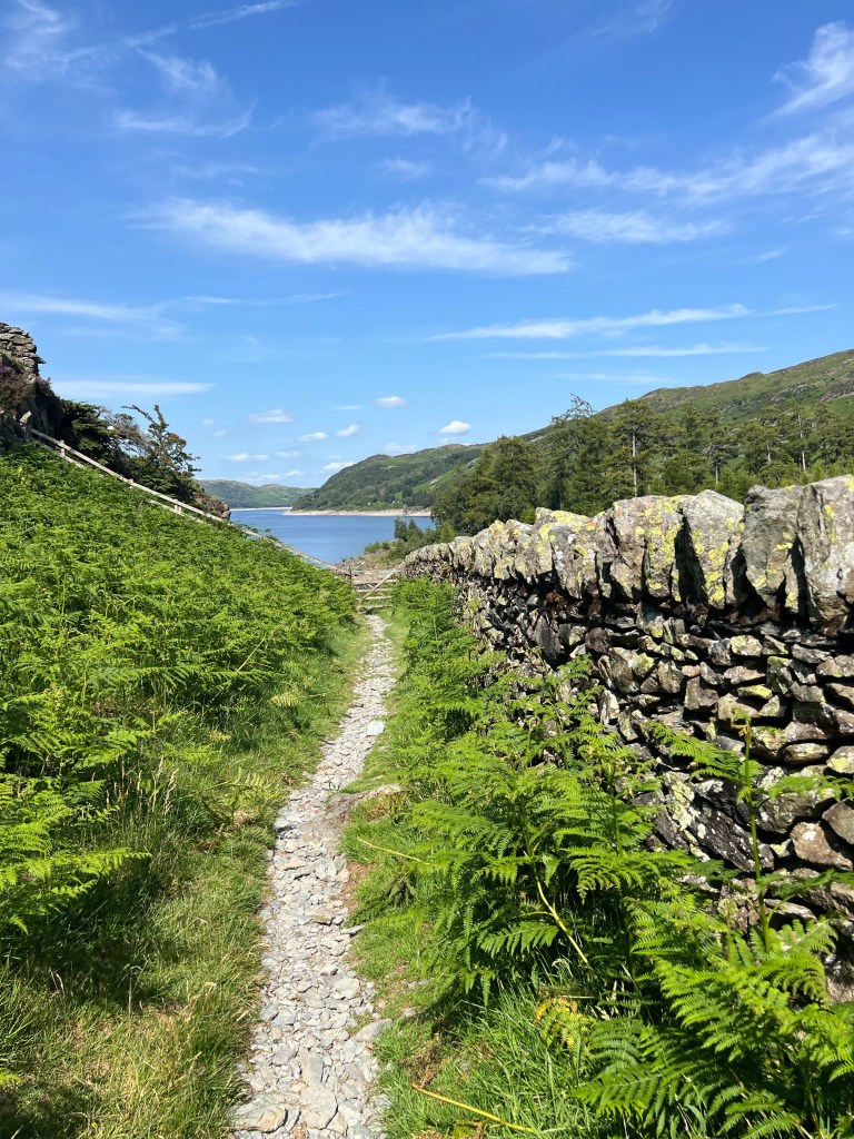
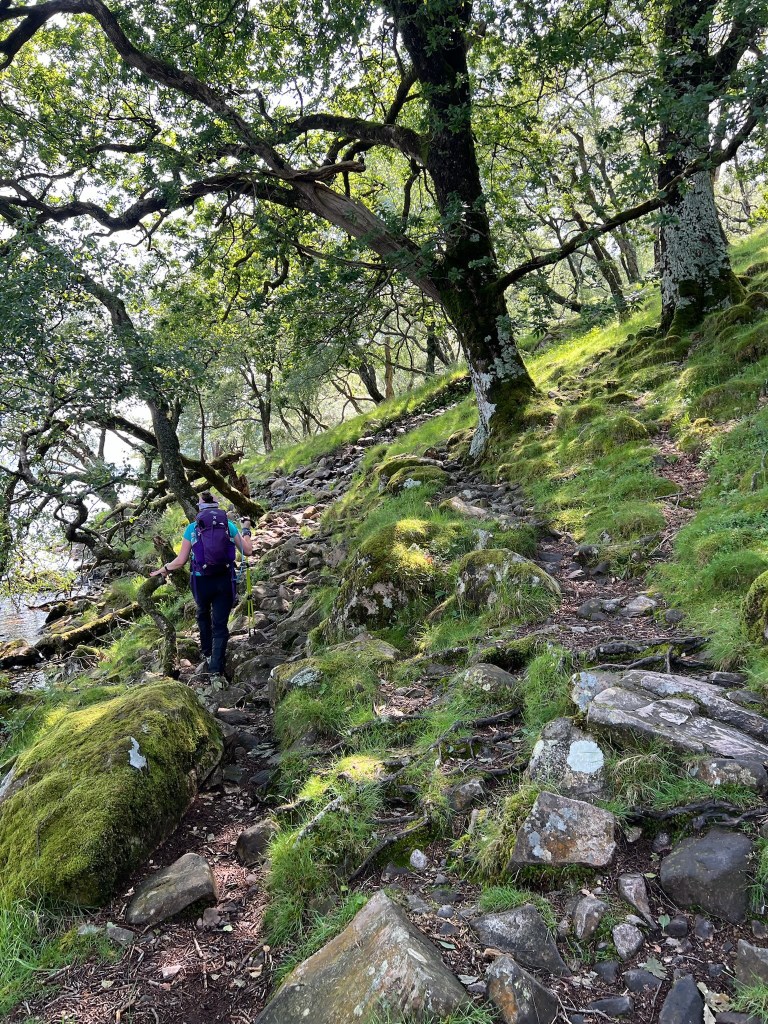
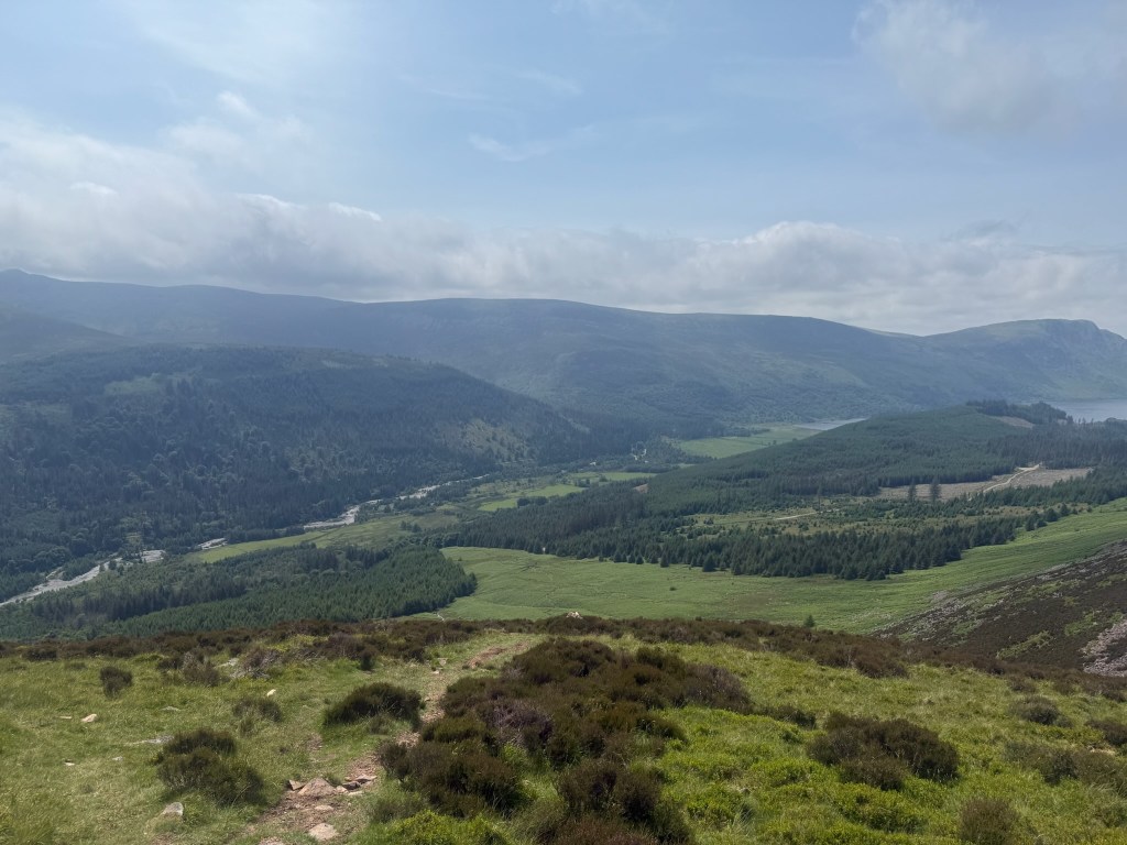
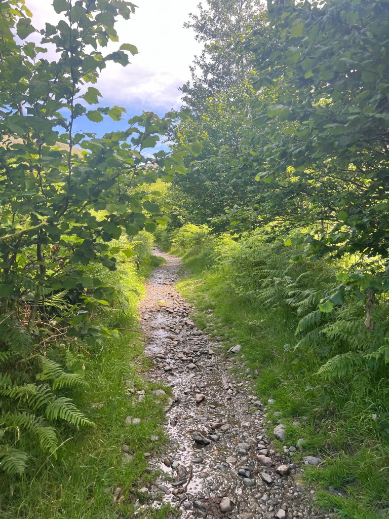
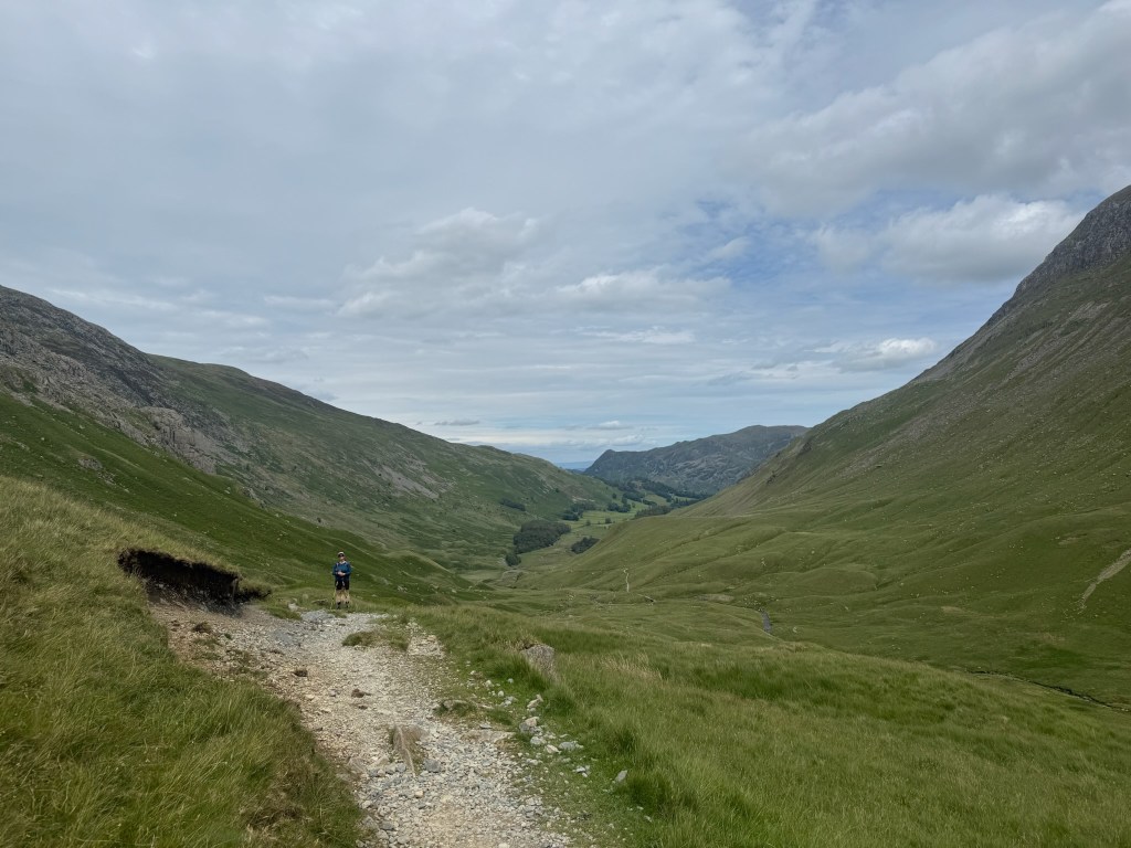
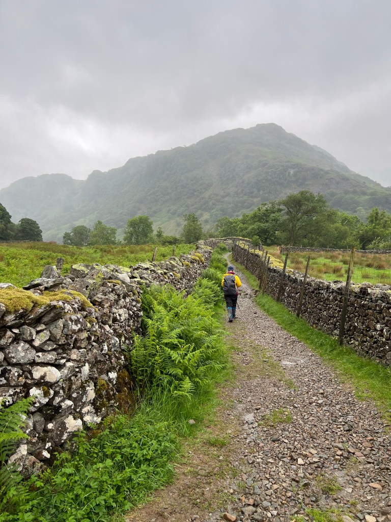
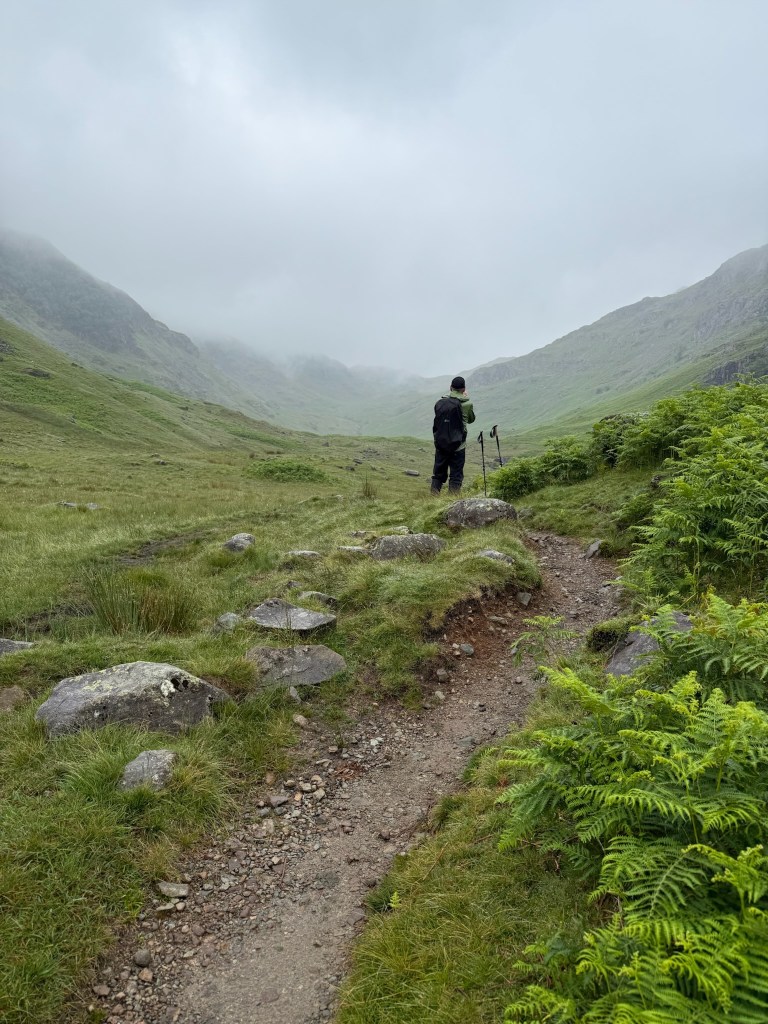
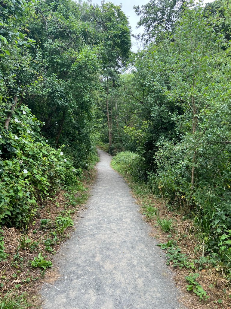
With our big climb out of the way, we had a fantastic morning traversing gravel tracks through fields and moor, and an awesome path through the Great Wood forest which surprised us with a few gems for the day!

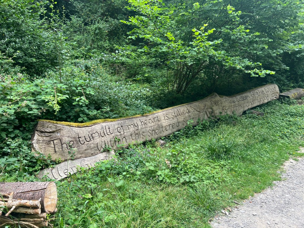
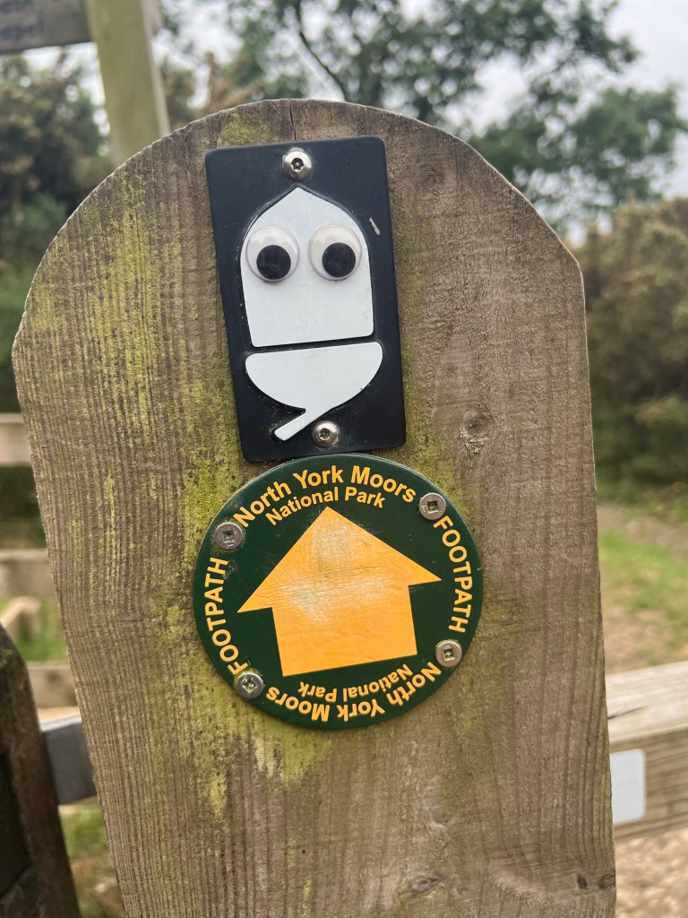
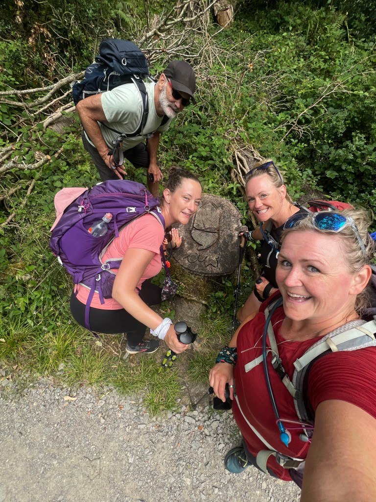
A beautiful saying carved into this fallen tree ‘The tumult of my shattered heart is stilled within this sheltered spot. Deep in the bosom of the Wood forgetting and forgot’ by Allen Grants. The National Path symbol, the acorn which we call the Yay-corn was also carved into a nearby stump.

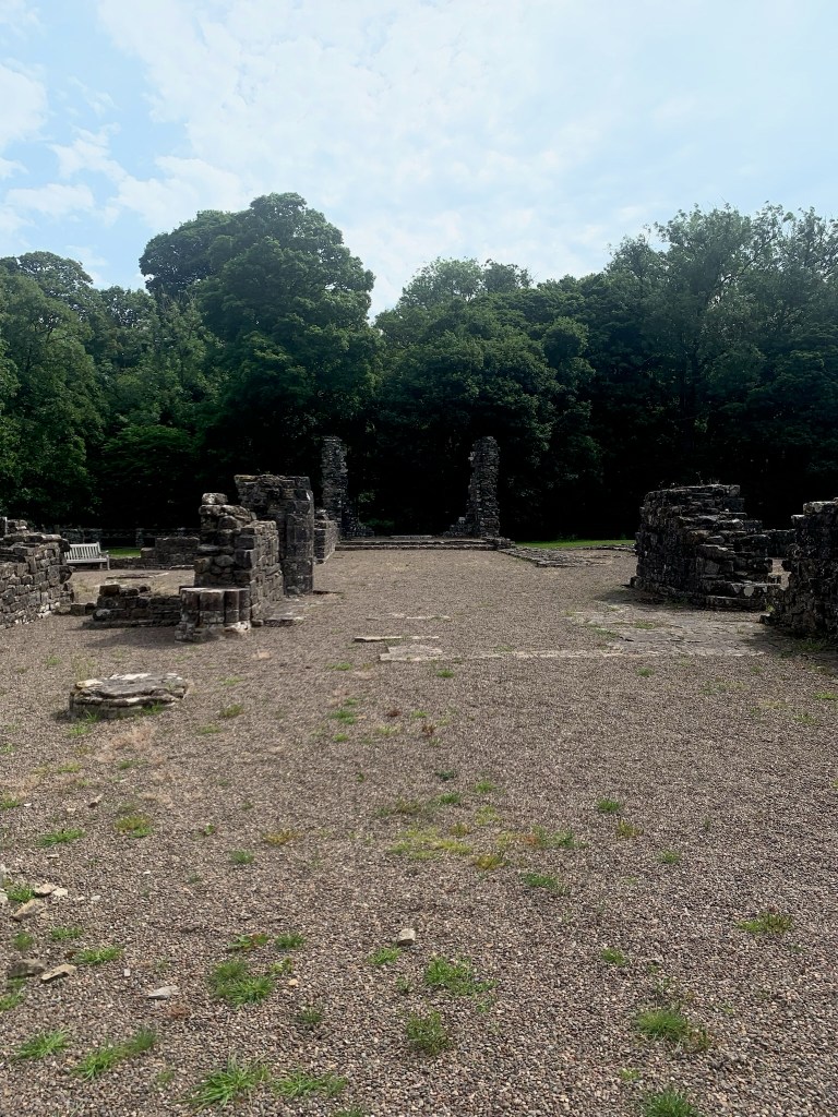
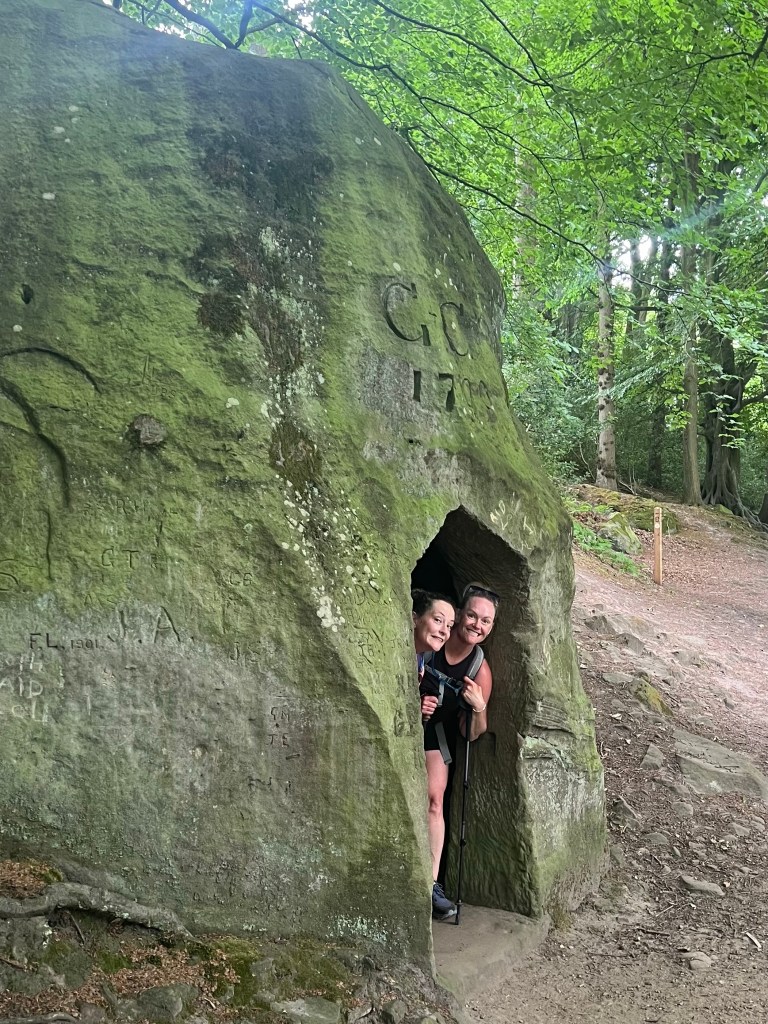
We also had to take a quick stop at The Hermitage for a photo opportunity. This is a very small cave that from what I read may have been a small chapel for a monk or hermit and was carved out of the stone in 1790 by George Club (there is a G+C 1790 carved directly in the stone above the door.

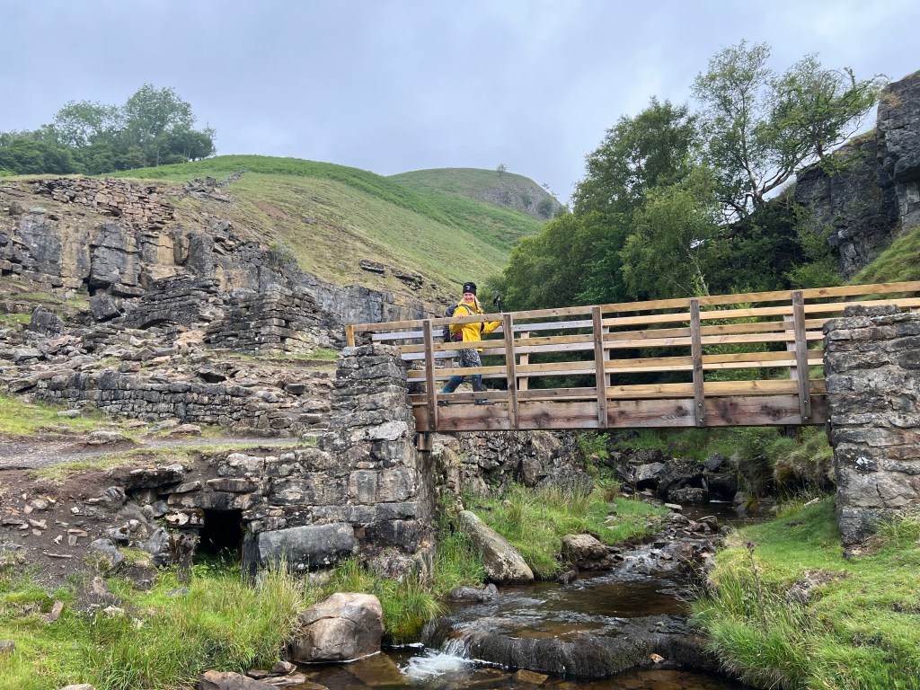
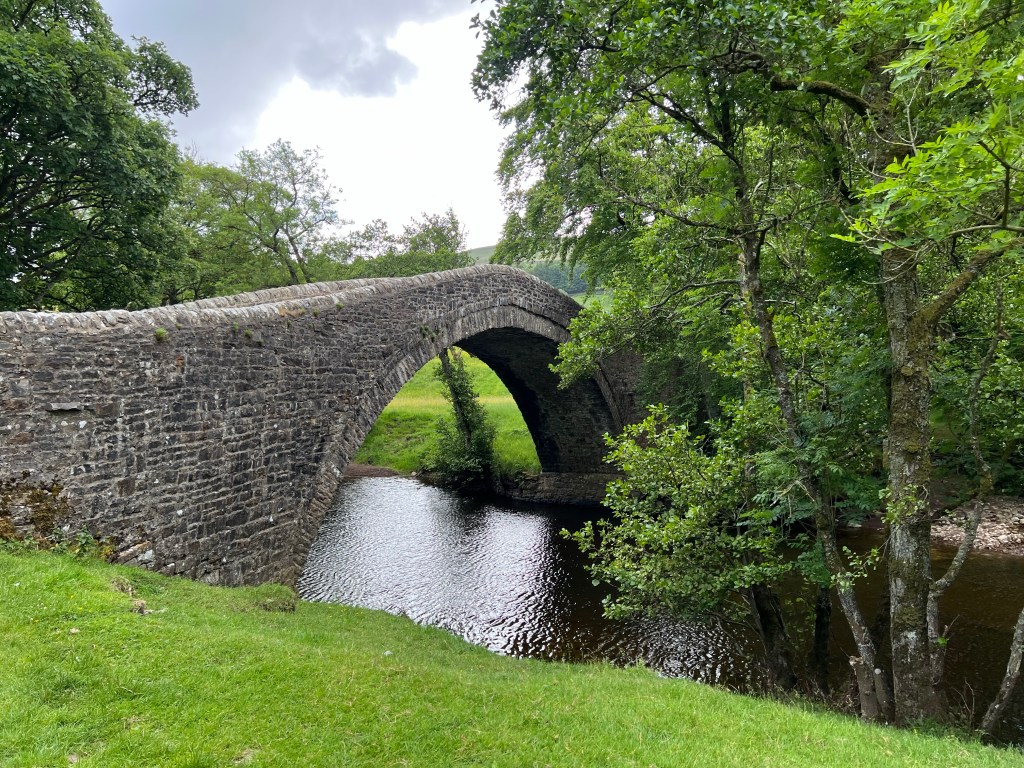
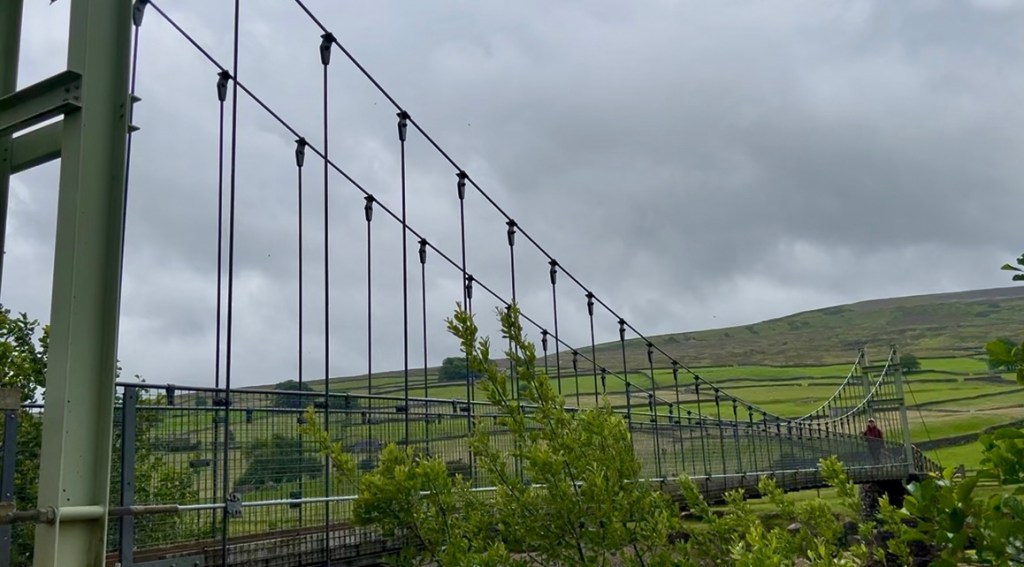
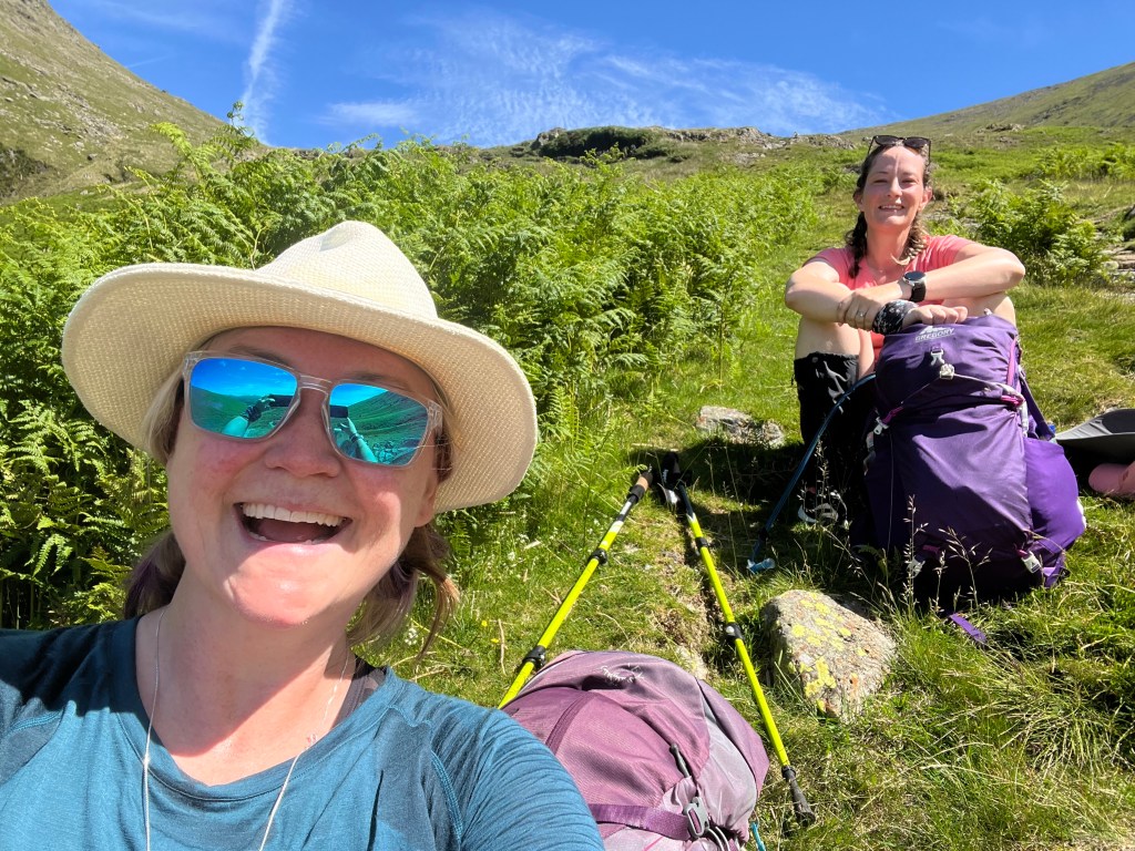
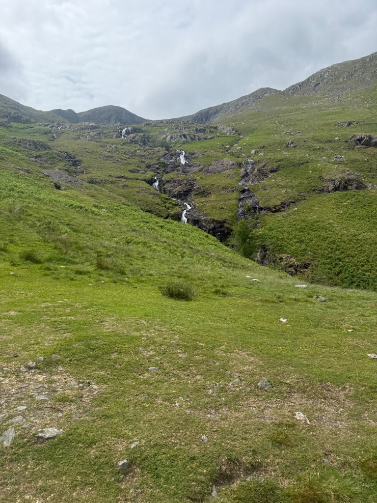
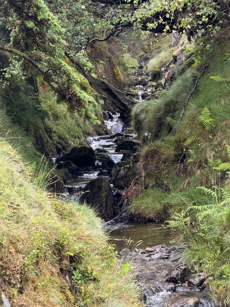
Finally in our way out of the Great Wood, we took in the Falling Moss waterfall and crossed the troll (clearly a friendly one) bridge. At about 1130am now, we took a little micro 11sies break after the bridge and then were our way again! No time to doddle much today.

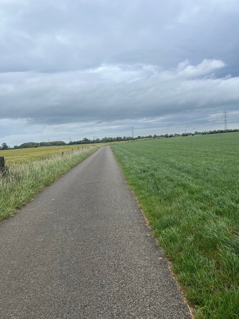
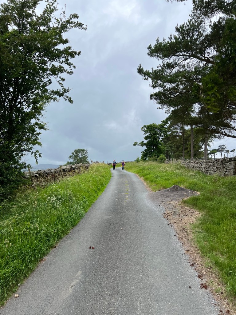
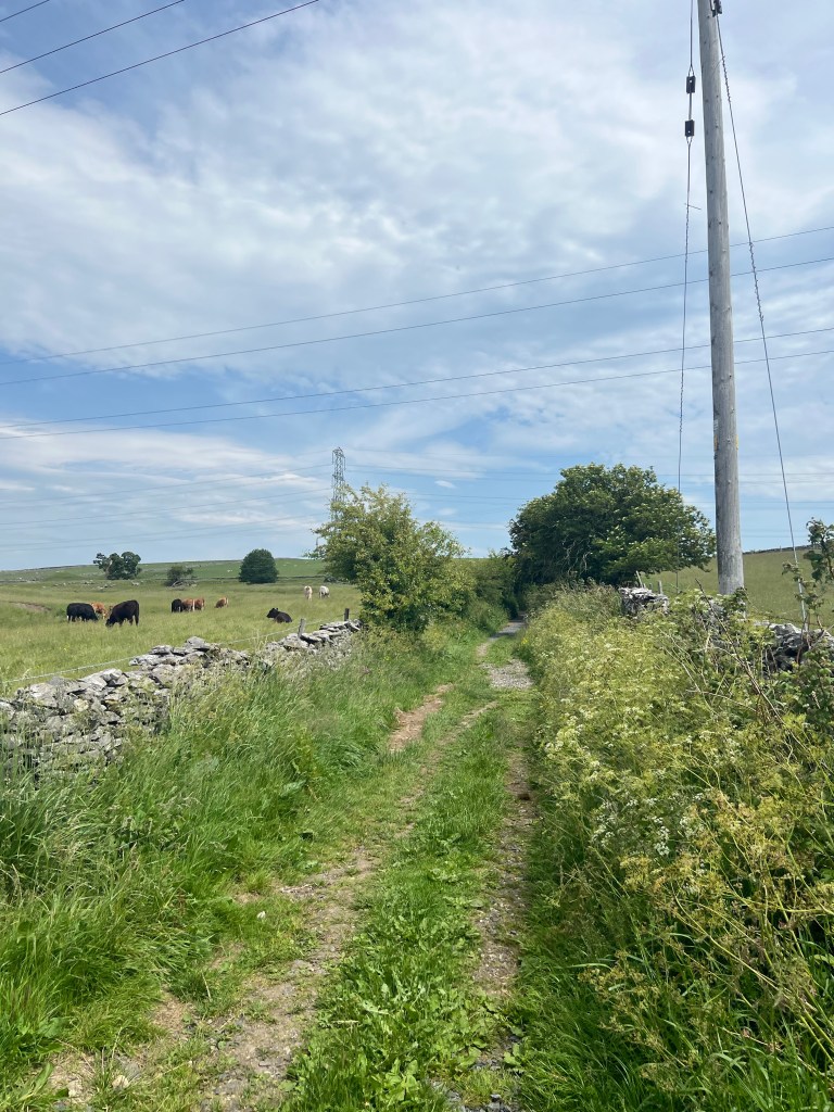
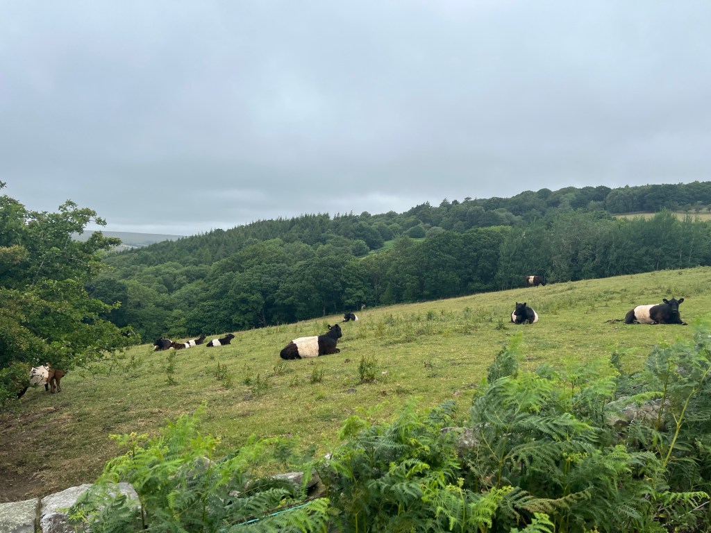
Leaving the Great Wood, we had a couple kilometers on a very quiet tarmac road – which gave us our last sighting of the Oreo Cookie Cow. These are the Belted Galloway cows but obviously Oreo is much cuter! Usually we only see them in dark chocolate (black) but this field has a milk chocolate one too (brown) and some calves. Adorable.

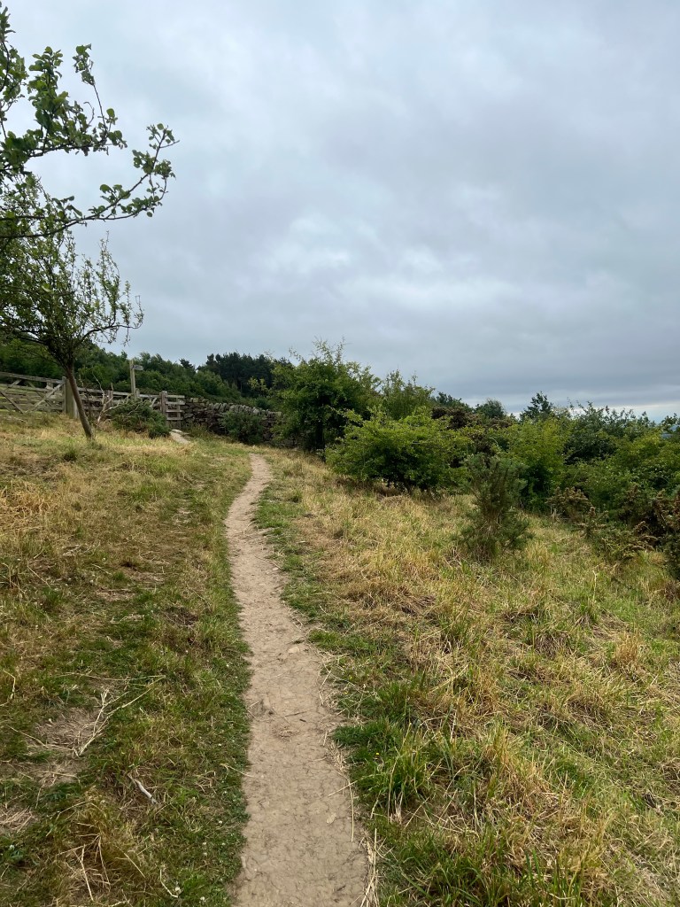
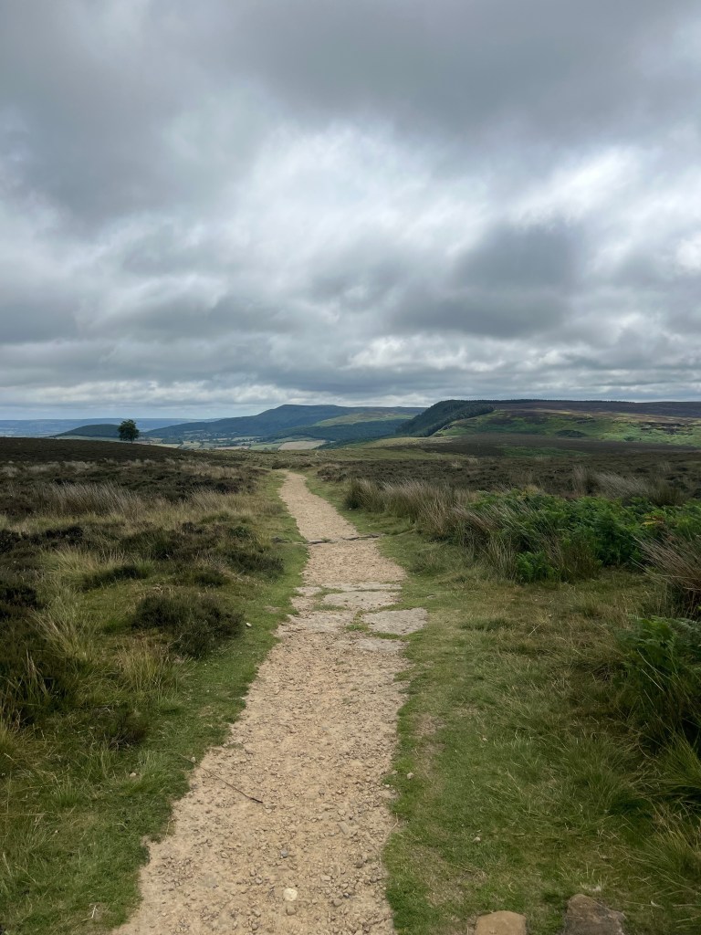
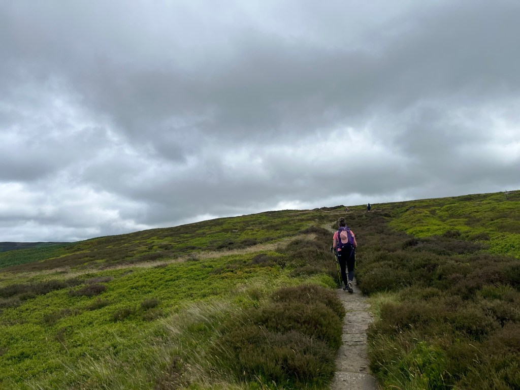
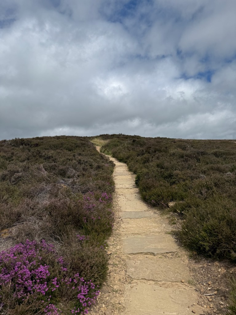
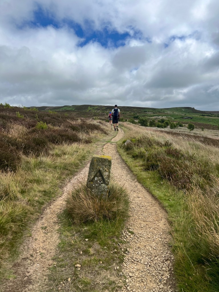
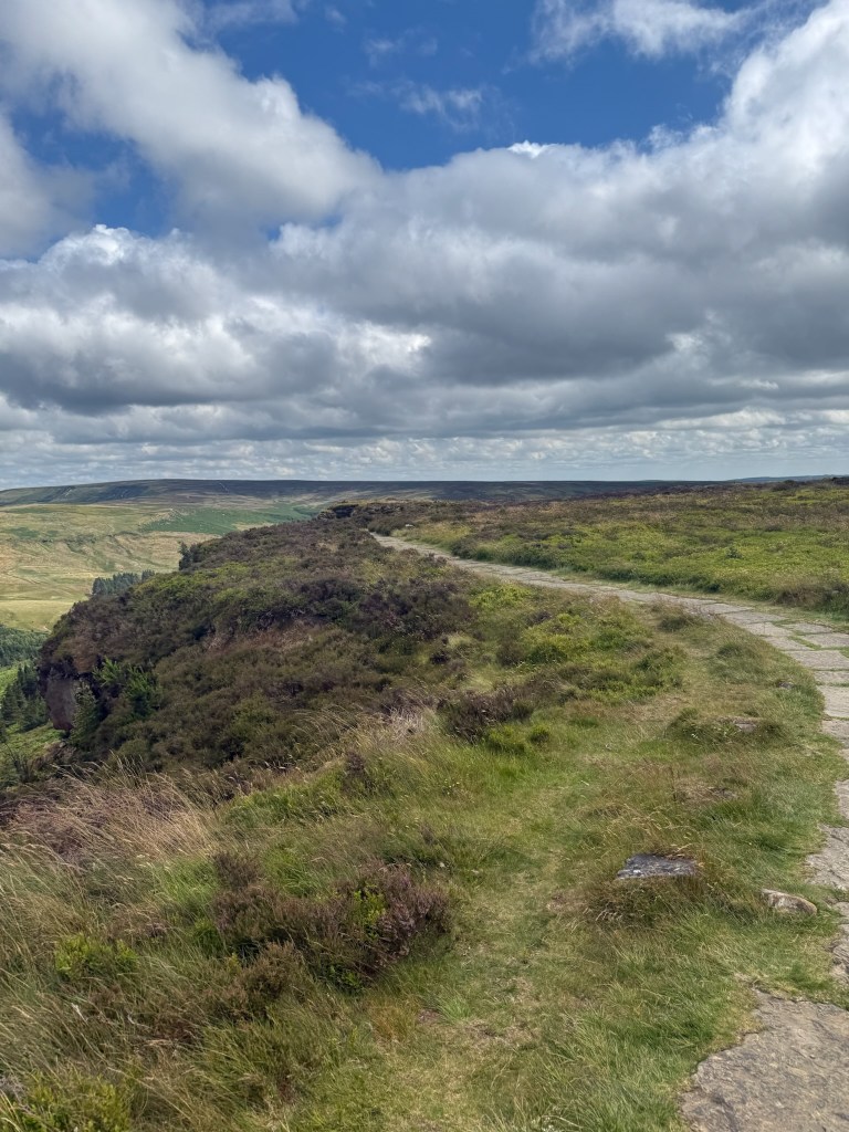
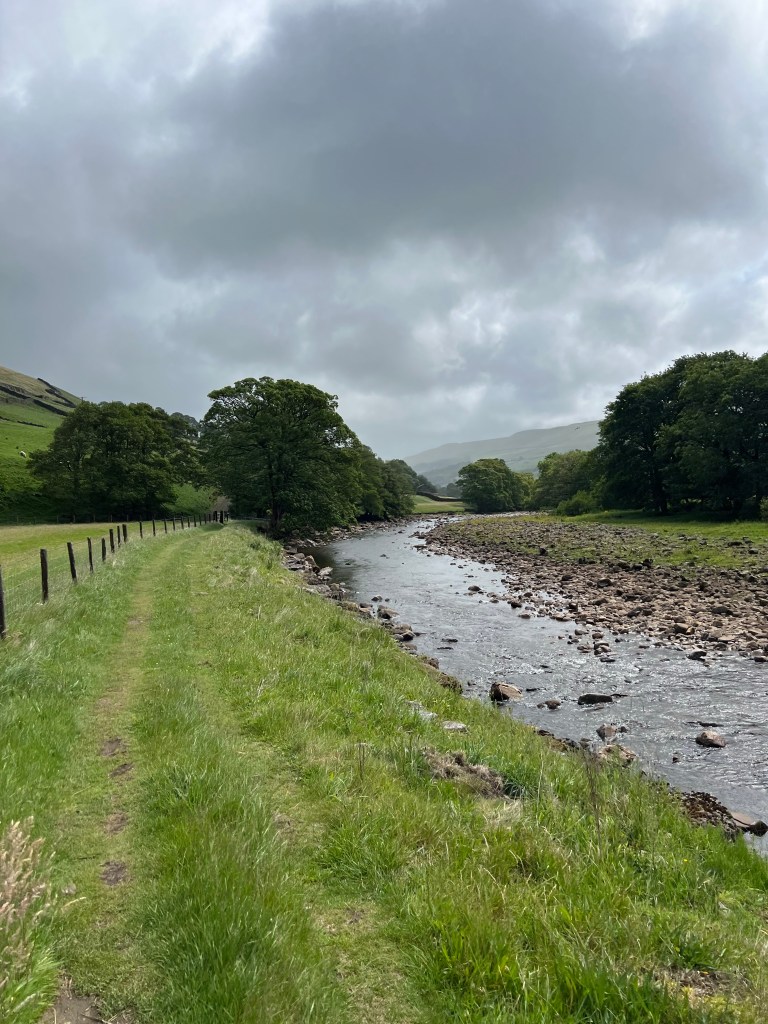
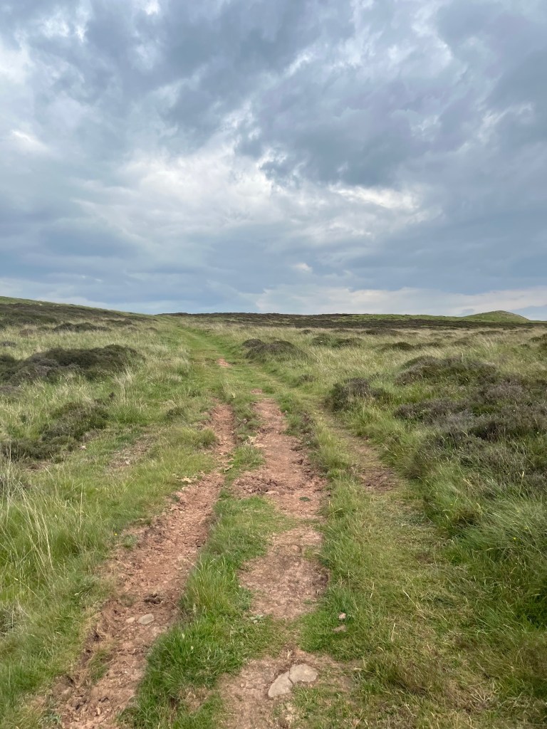
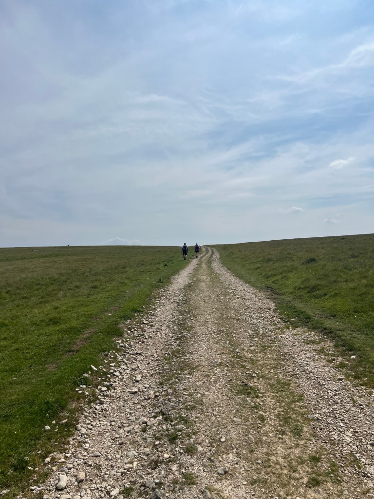
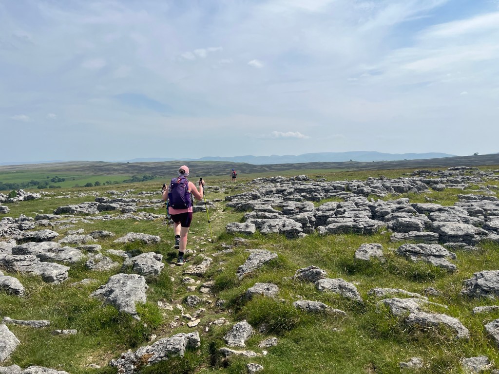
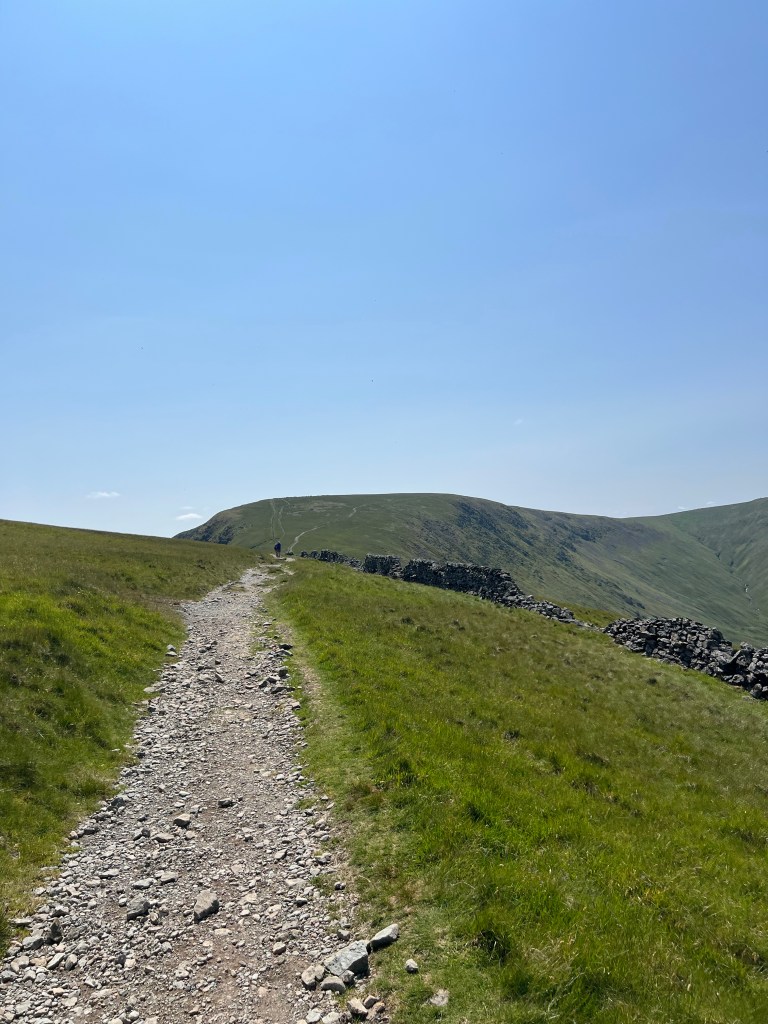
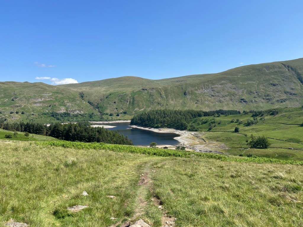
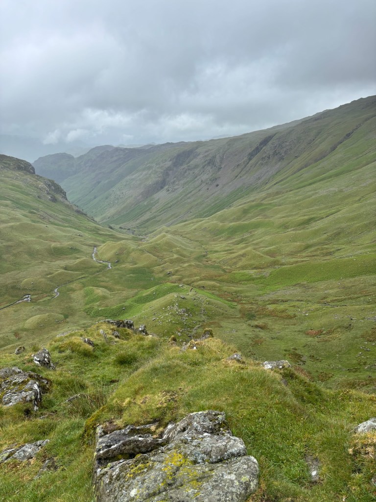
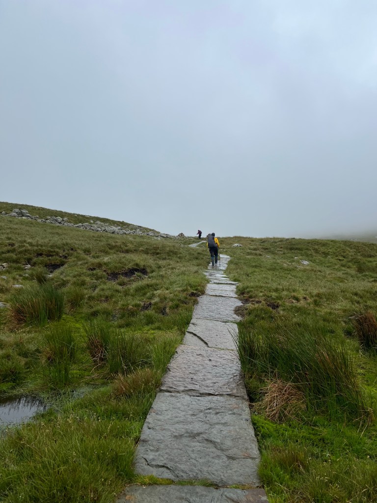
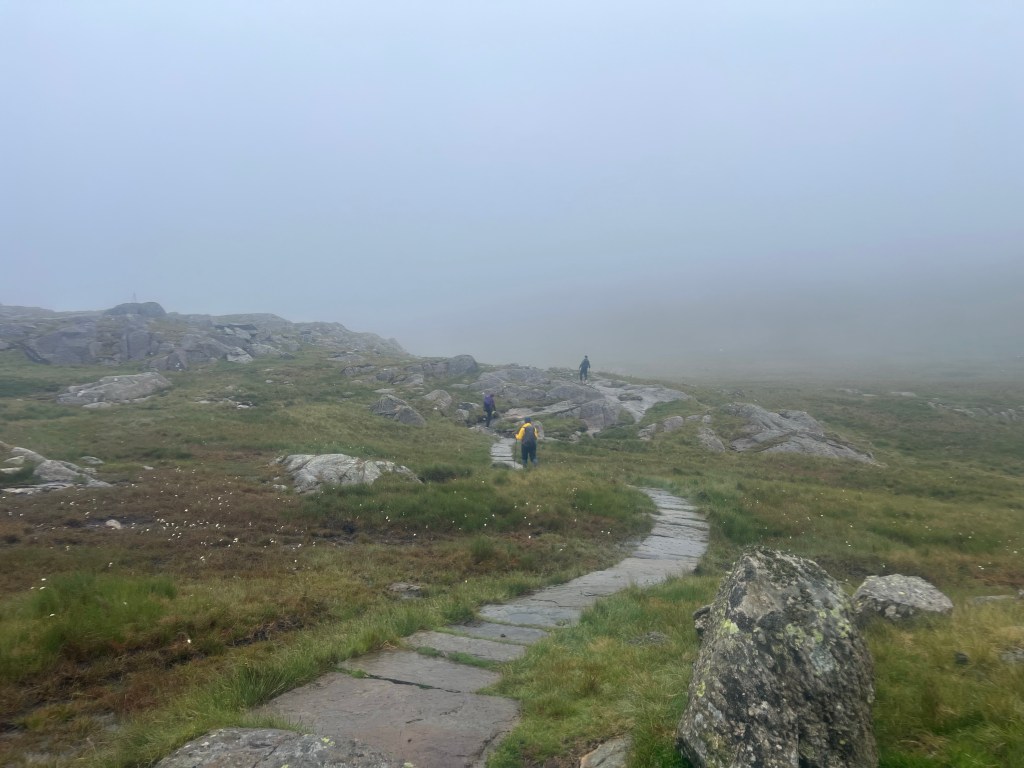
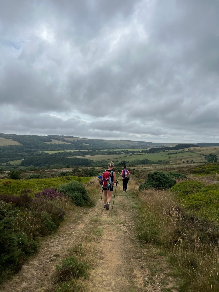
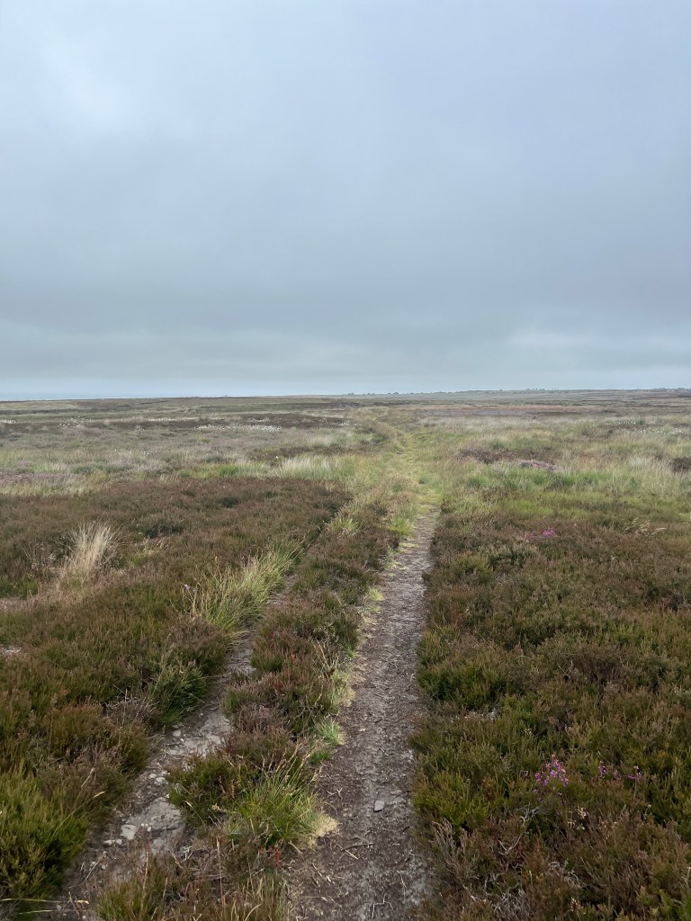
We then spent the next hour on moors again – it’s been a bit of a heat wave here so the moors were very dry. Still ankle breaking with the uneven ground so you have to watch each step but no one had to worry about stepping in deep peat mud or water.

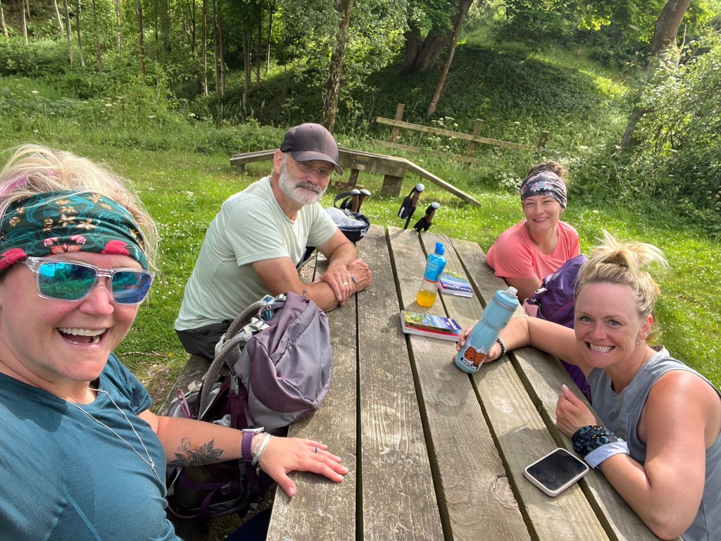
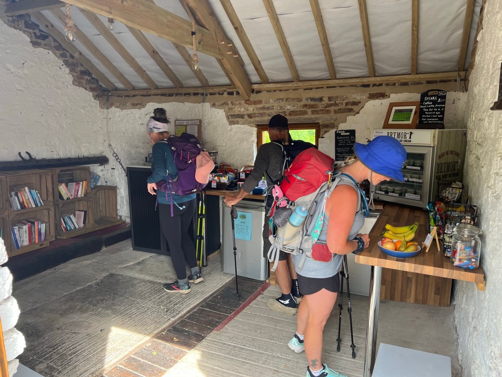
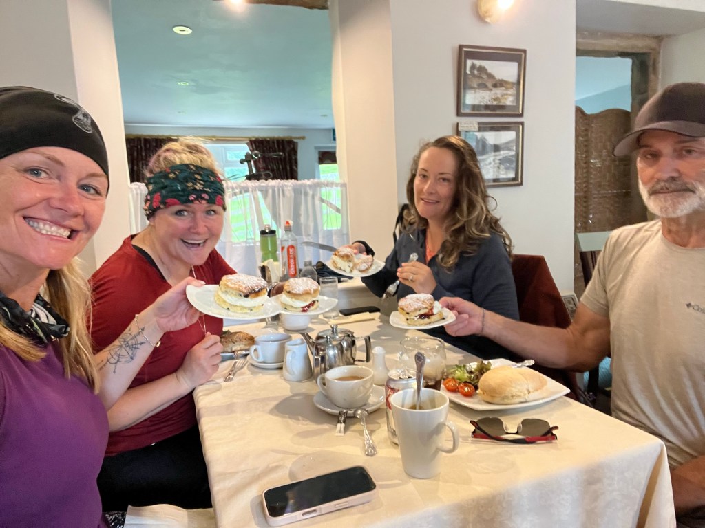
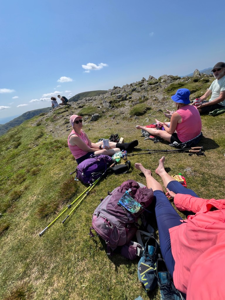
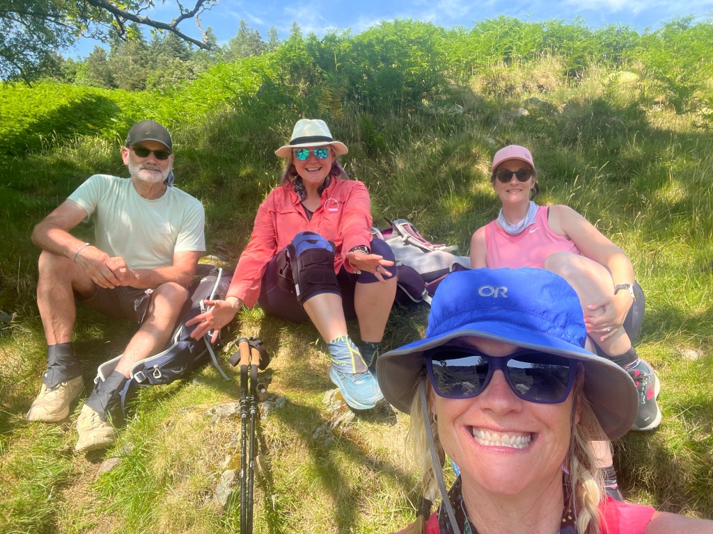
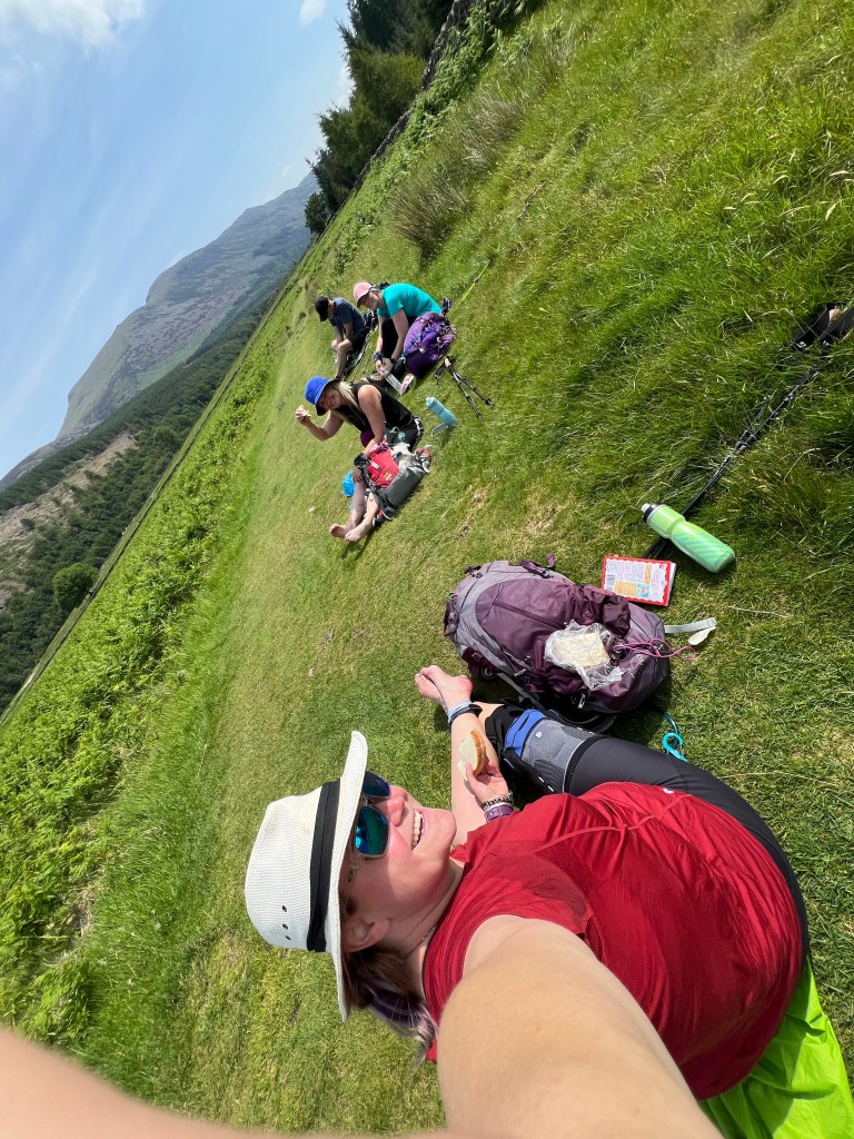
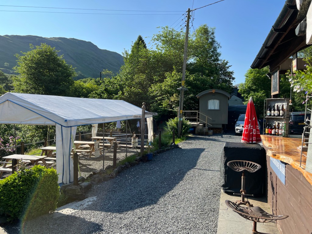
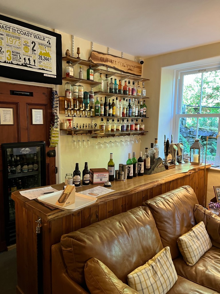
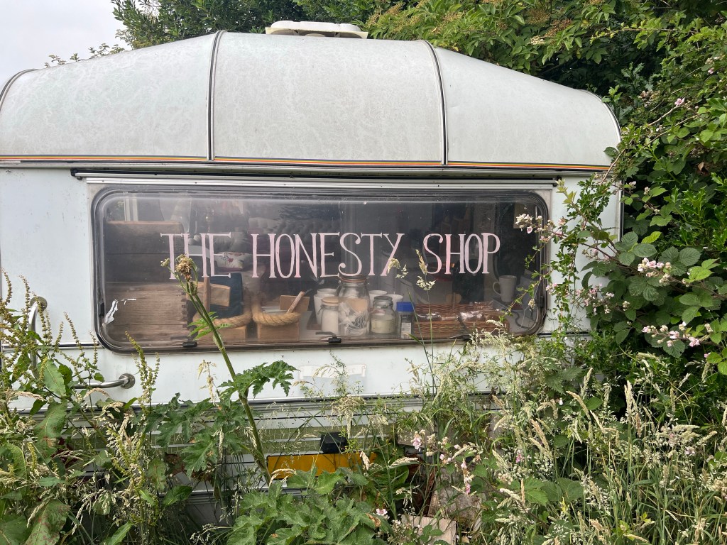
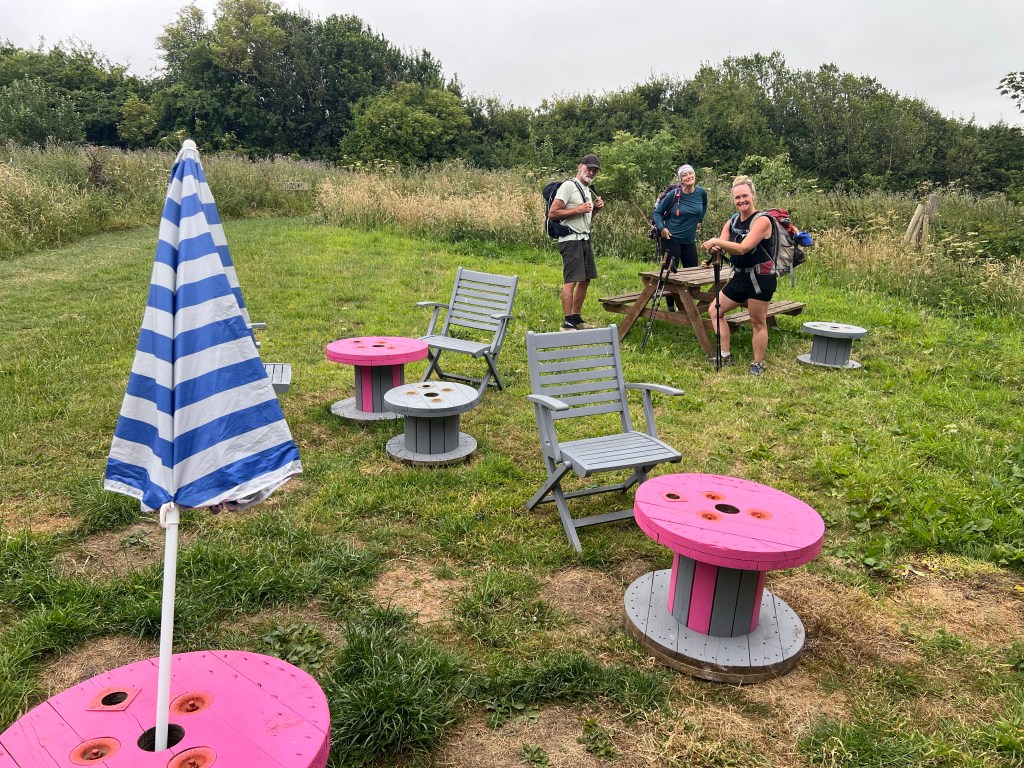
Before making our last tarmac traverse and then walk along the coast to the finish line, we had our Lunchsies stop at Low Rigg Farm. They offer a pretty neat honesty box set up in an old caravan, picnic tables and more for Coasters as well as their campsite.

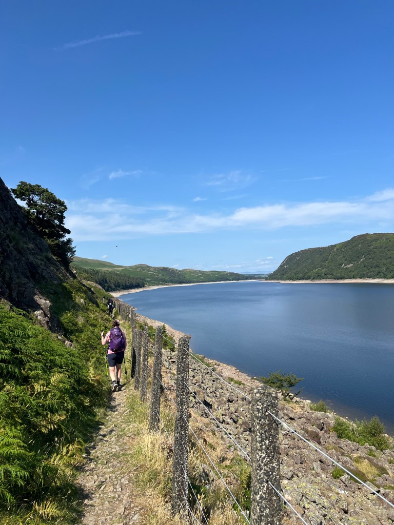
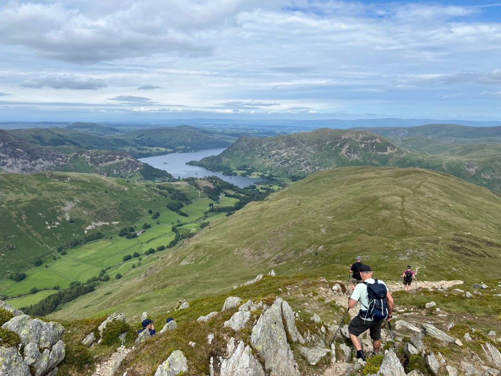
Lunch and sweets on board, we were ready to push the last 4 miles to the Bay. The trail was starting to get busier, lots of Coasters come in for the finish today! We made quick work of the road section – made easier thanks to the views of the sea ahead – and soon we were on the cliffs right beside it!

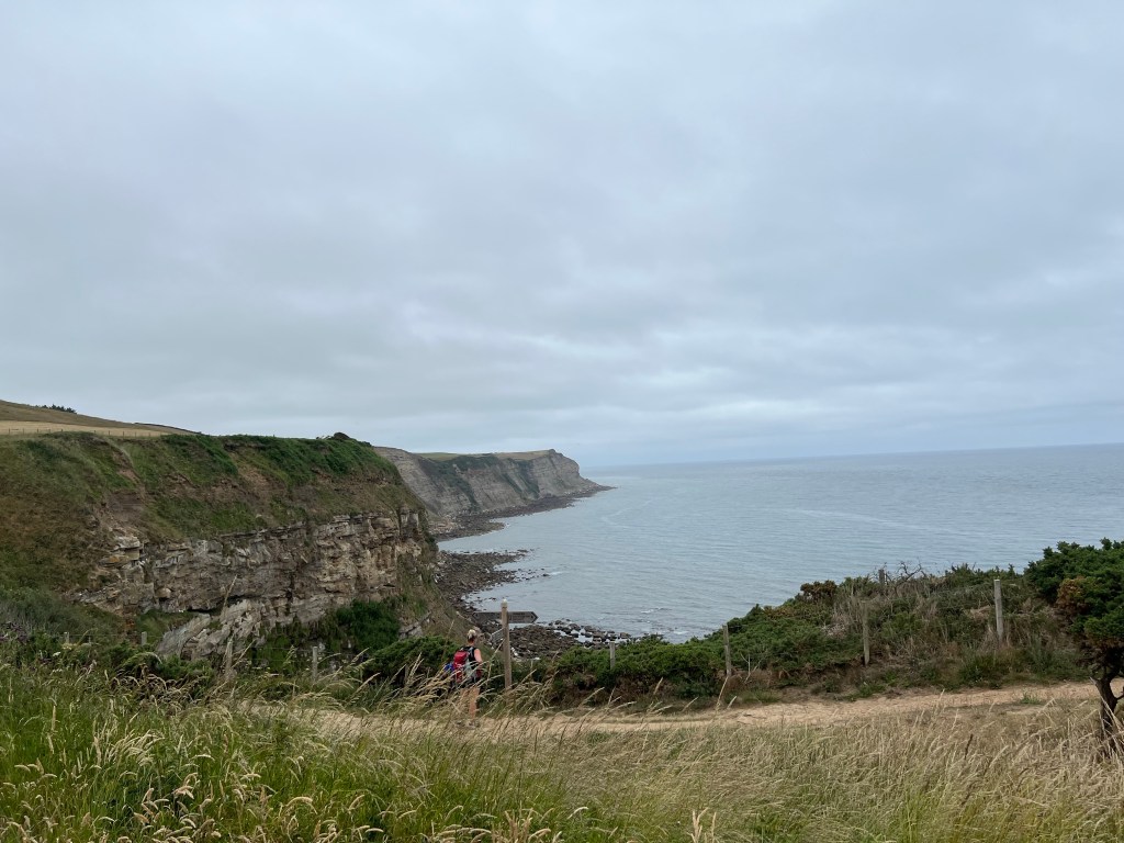
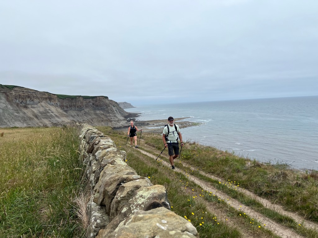
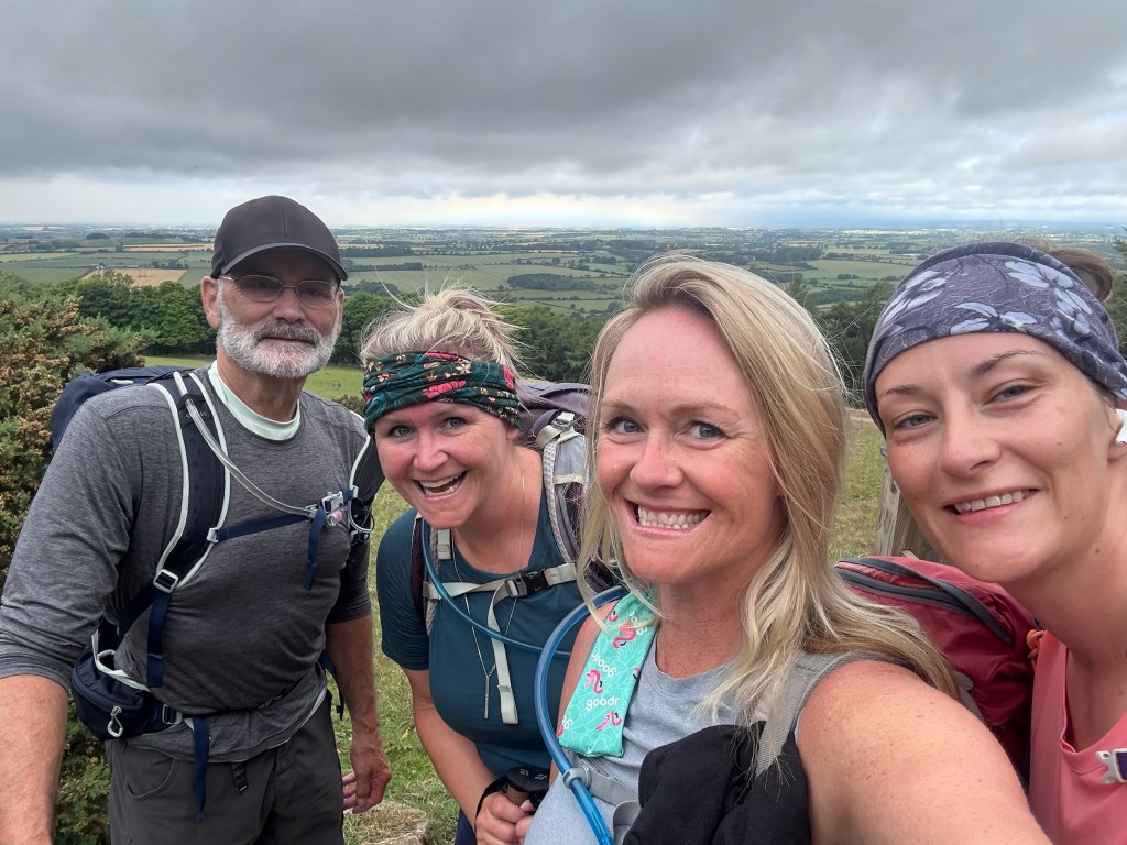
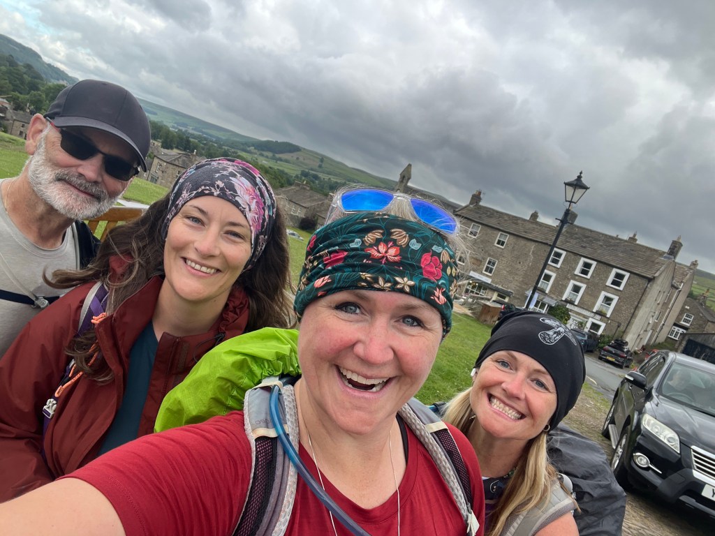
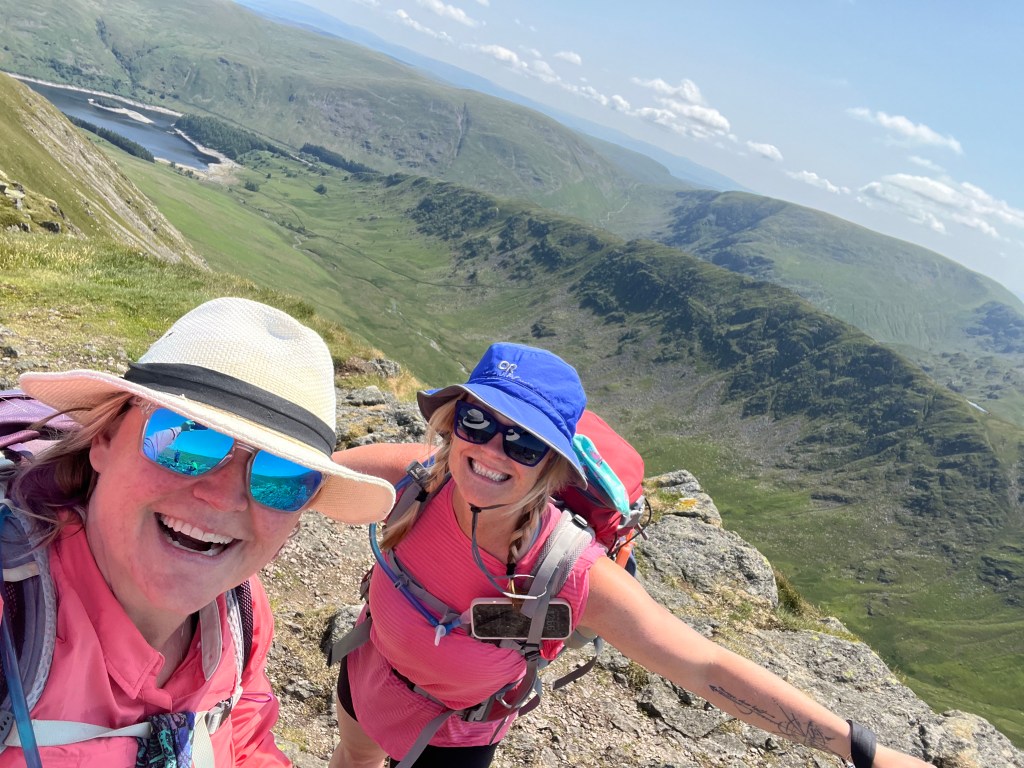
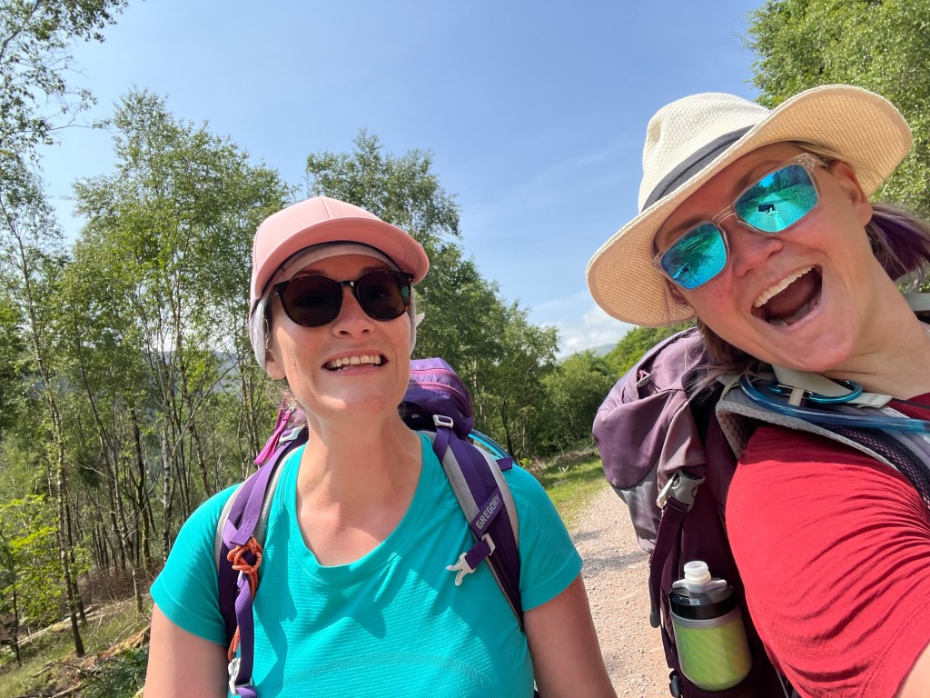
The feeling was amazing! We had just crossed England with our own two feet. The ocean breeze was so refreshing and the views amazing. All of us had pep in our step and smiles plastered on our faces as we snapped too many photos and finished out the last section of our adventure.

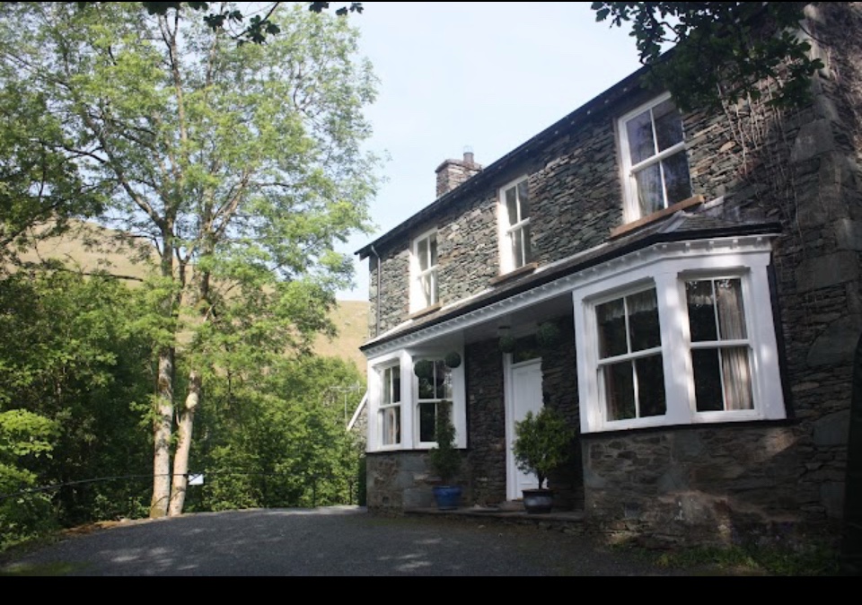
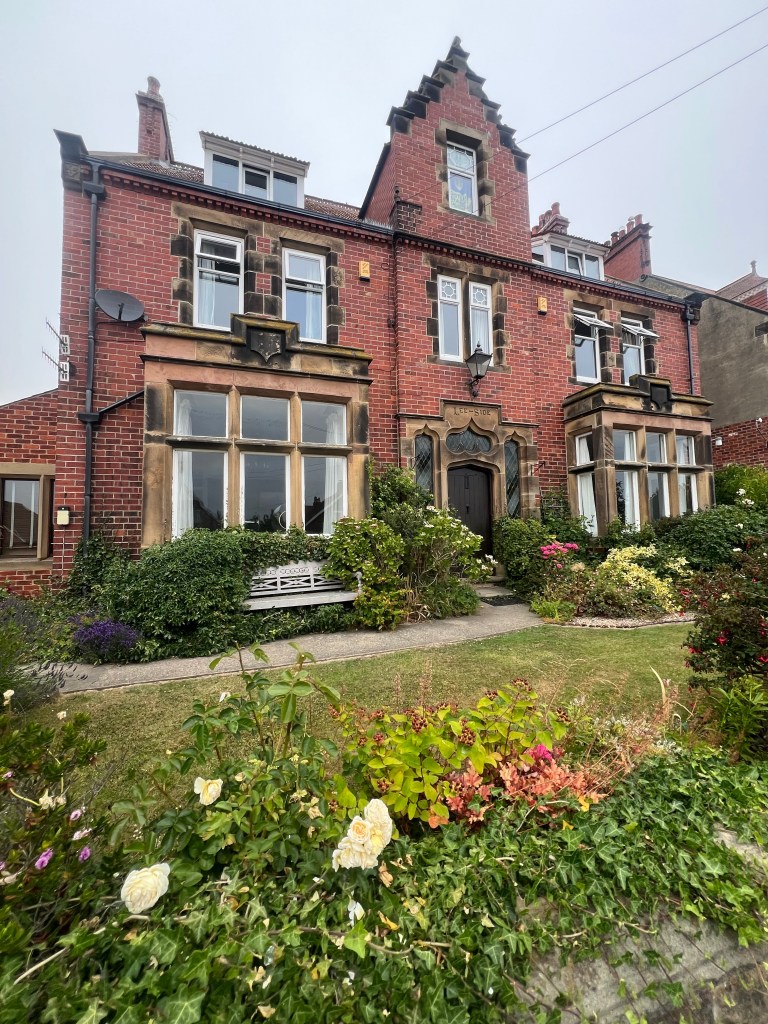
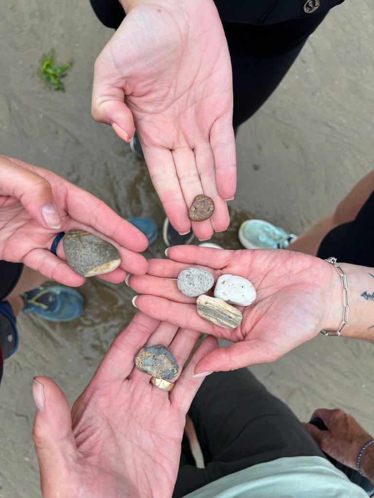
As we came into Robin Hood’s Bay at about 4pm, we walked past the Lee Side BnB (our home for the night) so popped into check in. Making sure we had the pebbles we collected day 1 in St Bees, we headed down and down the town’s steep road and cobble stone steps to the Bay.

We walked out onto the beach, congratulated each other and then retuned those pebbles back to the sea as our final Coast to Coast milestone!

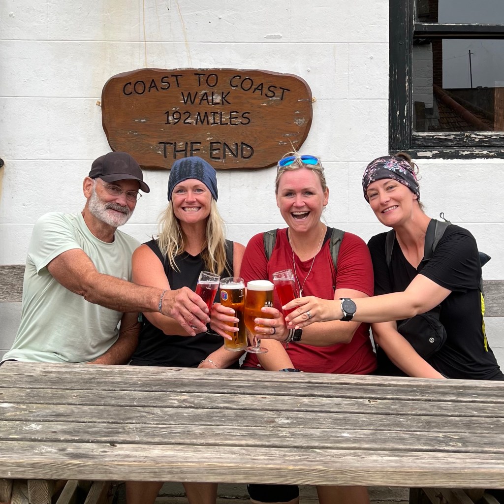
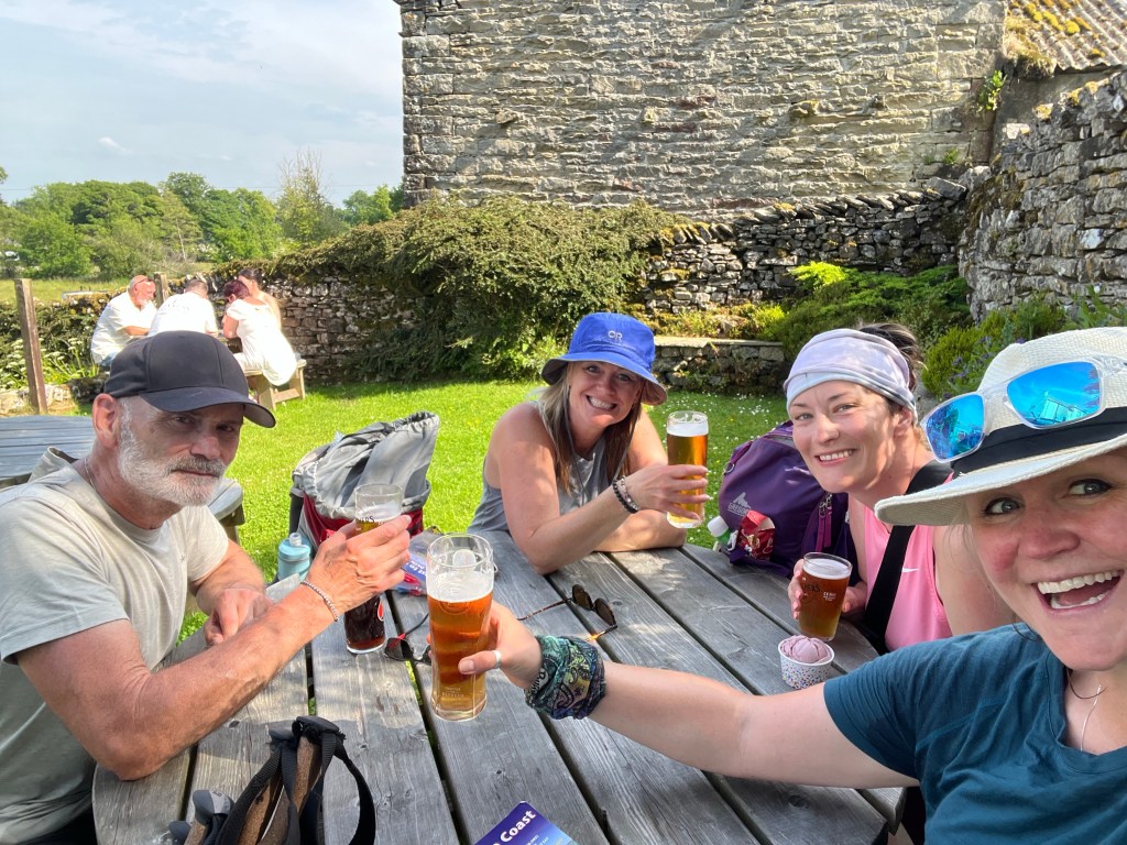
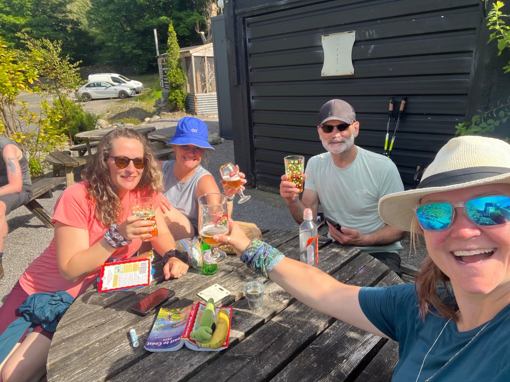
A pint at the Bay Hotel and photo under the ‘finish line’ sign was our last to-do.

For those who prefer a half pint of info ..

  • Date: Tuesday July 1 2025 – Canada Day!
  • Trail: Coast to Coast Path, England
  • Day: 16 walking + 1 Rest Day / 17
  • To/From: Egton Bridge to Robin Hood’s Bay
  • Start/Finish time: 830am / 5pm
  • Distance: 28.1km (Hiiker)
  • Steps: 40,881
  • Terrain: everything – gravel track, forest track, moors, coastal fields, some roads
  • Weather: 17c with cloudy skies and a slight breeze. Perfect hiking weather!
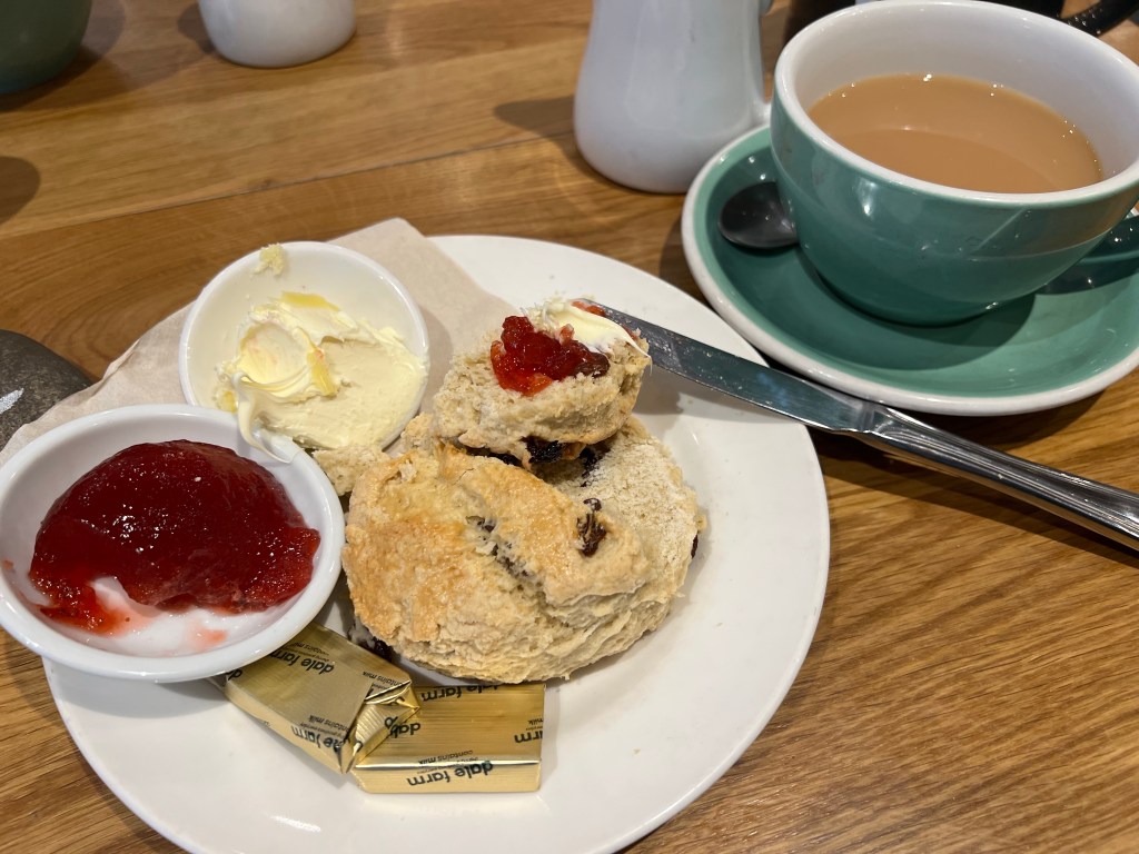
  • Breaky: pancakes at the Horseshoe Hotel in Egton Bridge
  • Lunch n Snacks: cheese bun, crunchie bar, orange juice, cookie
  • Dinner: pizza and a pint at Smugglers
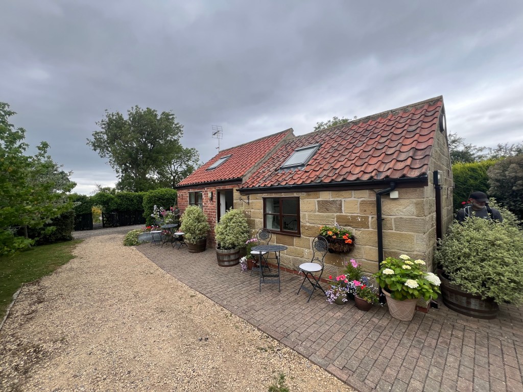
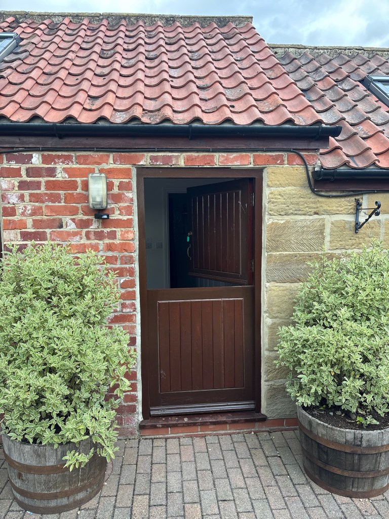
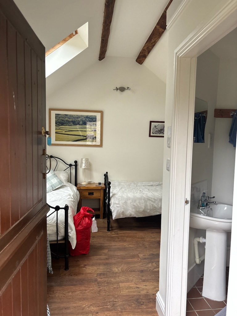
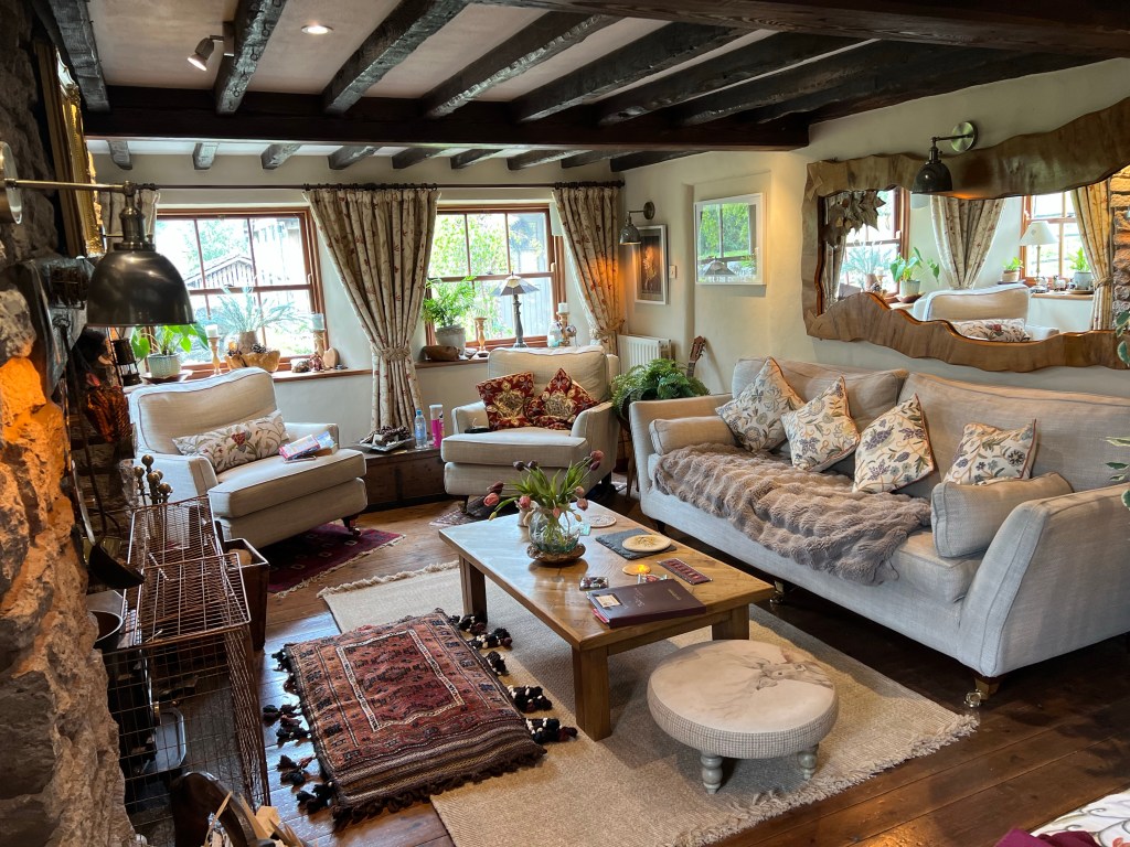
  • Tonight’s home away from home: Lee See BnB which is absolutely fantastic!
  • Mood: amazing! So excited about this amazing accomplishment while it’s over so soon. That flew by!
  • Body: feeling good, ready for a couple days of blister heeling but otherwise good!
  • Highlight: we finished!
  • Lowlight: we finished already!
  • Deep thoughts: time goes slow, until it doesn’t

Well that’s a wrap – thanks so much for following along. We are off for a whirlwind 24hrs in York and then back to Canada.

Brande

Coast to Coast Day 13 Ingleby Cross to Clay Top Bank

Day 13 complete! A 22km stroll up and out of Ingleby Cross and then some more up and overs x4 till we hit Clay Bank Top!

The morning started with a lovely breakfast at the Ingleby House Farm BnB. The fruit salad was epic, the company included a couple from New York doing the Coast to Coast and the coffee and tea were piping hot. Perfect.

After thanking our host (and Shar saying good bye to their dog, Socks) we were on our way. First through the small village of Ingleby Cross on some quiet hamlet roads and a quick stop at the local church to see if we could find more of those wooden church mice carvings.

Too bad, the church was locked up so we took a peek in the windows (spotting the purple pew boxes we had read about in the guidebook – bold colour choice) and got back to the task for the day – walk, walk, walk.

Pretty quickly we were in the trees, and the incline was starting to lean up. A mix of packed path, gravel track and some stone steps and slabs had us up and over the valley in no time at all.

At the top, we were rewarded with views of the path ahead and our first glimpse of our ultimate destination the North Sea in the distance. Crazy to think we are so close now! Hard to see in the photo but there looked to bit a bit of a rainbow across the horizon above the sea ahead – a good sign.

Right near the top of this first climb, the Coast to Coast meets up with the Cleveland Way (another walk on our list to do one day) and we would actually remain with the Cleveland all day. At this point the path gets a little confusing though with so many signs, and we made a wrong turn to get to the right detour!

In my defense, I may have been distracted by the googley eyes someone put on the National Path acorn symbol. I am a sucker for googlies!

A local lady walking her dog told us about the Our Lady’s Chapel just off the path. The origins of this Chapel are interesting but best I can make out it was stood up in the 1300s, is still a working Chapel and still welcomes pilgrims to stay. It was very secluded, the smallest we have see yet but no less beautiful. The stone work!

I had a chance to check the map to guidebook and found out where I went wrong, and a quick way to get us back on tracking using one of the many public footpaths all over the hills.

We made quick work of it and even had another walker (doing the Cleveland Way and the guy we now call Sticks) follow us back to the path as we had all done a little happy detour. We would see Sticks a few more times today as we traded places on the path.

Soon we were on our way to the next big climb of the day across the Scarth Wood Moor. This was a fantastic section of the path – wide open, with huge views of the surrounding rolling country side. The path was a mix of packed sand stone or mill stone slabs. Easy waking!

Leaving Scarth Moor we then hit Clain Wood and made our way back up and up into the forest (and a micro break) before dipping back down for a short time on the road and then again back up and up into the trees again for our next climb of the day over Knolls End via what I think is the Carlton Moor. There are a lot of Moors!

We read that this are has the highest density of Heather growing and one look confirms that. Only some of the Heather was in bloom (an amazing purple) and I can only imagine how beautiful it is when it’s all in bloom. Wow!

We stayed on top of this ridge for a little while enjoying the amazing views as we walked, but soon enough the steep, stone descent was upon us and we made our way down, down and down to both get out of the wind and find our lunch break picnic spot. We were at 13km by now and feeling ready for some fuel.

Over lunch we strategized the rest of our day. Confirming our anticipated pace so I could check in with Ray the private car hire giving us a ride from the trail to our hotel (and back again in the morning) and approach to the next climbs. There are a couple of alternative paths for the next climbs – so we decided to split and do all the routes!

Shar would go up and over (she is a Summit Seeker!) and we would do the shoulder approach around the peaks. We set meeting points after them both as the paths came back together each time to check in. Perfect!

Off Shar went. Some highlights..

Off Dad, Hai and B went. Some highlights …

At about 345pm, right around when planned, we met at the Clay Bank Top. This is literally a car park with a picnic table that people use to access all the many trails in the area.

We had pre arranged to meet our driver here at 5pm (but he confirmed he could come early at 430pm) so we had some post hike snacks at the picnic table to pass the time.

Ray our private car hire was very efficient getting us about 30mins to our stay for the night at the Fox and Hound in Slapewath. A bit of a drive (with some tight hair bending turns for these Canadians) but it’s been a great stay.

We arrived just after 5pm to a fantastic welcome, clean rooms and after some showers enjoyed a pint outside and dinner.

For those with only a wee bit of time…

  • Date: Saturday June 28 2025
  • Trail: Coast to Coast Path, England
  • Day: 13 of 17
  • To/From: Ingleby Cross to Clay Bank Top
  • Start/Finish time: 845am / 4pm
  • Distance: 21.4km (Hiiker)
  • Steps: 29,948
  • Terrain: forest track, a few fields, rocky paths, stone steps and slabs
  • Weather: 22C with a mix of cloudy and sunny skies, nice breeze with gust on top of the ridges
  • Breaky: amazing fruit salad, and full English at Ingleby House Farm BnB
  • Lunch n Snacks: pre packed lunch from Ingleby House Farm BnB with crisps, fruits, strawberries, cookies
  • Dinner: vegetable lasagna at the Fox and Hound Pub in Slapewath
  • Tonight’s home away from home: Fox and Hound Hotel in Slapewath (transported to/from by Ray’s Personal Car Service arranged by Contours Walking Compani)
  • Mood: fantastic!
  • Body: feeling good. Bill, Bob, Edna and Irene (my blisters) understand the house rules now and are being a little less rambunctious
  • Highlight: walking in forests again!
  • Lowlight: horseflies!
  • Deep thoughts: you don’t what you are missing, if you miss it

That’s us off on Day 14, catch ya on the flip!

Brande

Coast to Coast Day 12 Danby Wiske to Ingelby Cross

Well, that’s Day 12 on our Coast to Coast Path adventure in the books. Today was short and flat with one big milestone – crossing the major A16 highway with no bridge and no lights.

We started off with a proper slow morning today. We only had 13+ km to walk and wanted to time it arrival in our new town Ingleby across for lunch when we arrived and the ability to check into our BnB.

At 8am we met for our usual breakfast time and some semblance of full English cooked breakfast for each of us. Then we finished getting gear, packs and such ready before heading out the door of The White Swan for 930am. Skies were overcast but it was a great 15C and no rain expected.

Before leaving town we popped down a block to check out the Danby Wiske Church built in the 1200s. They were loading up the place with fresh flowers for a wedding this weekend – smelt amazing and looked pretty impressive!

Just beside the church is a Campsite which looks amazing and boasts a pretty awesome Tuc shop (little shop) so we ducked in and, wow, it was fantastic! Run on the honest system you could get cold drinks, ice cream (even some for dogs), all kinds of crisps and biscuits, homemade cakes, fruit, camping meals and more. Wow!

Many Coasters walk right through Danby Wiske to instead stay in Ingleby Cross or beyond – this Tuc shop is worth a pop on if you do come through! We grabbed some fruit.

Now ready to roll, we kicked off today’s walk with a stroll out of town on the road. Today’s terrain would be a mix of fields, quite a few gravel tracked and roads. No major milestones or features to see on the way.

At about 12km we hit the petroleum station beside the A16 and popped in for a few snack provisions for the next couple of days where there are no shops available… and a little sugar courage for the A16 crossing. This is the MAJOR highway in this area and it’s 3 lanes at least each direction (plus merge or slip lanes as they call them here) and hella busy!

Without any further excuses we made our way to the shoulder of the A16. The goal was to cross the first side, then pause in the middle shoulder for our chance to cross the next side. We ended up making pretty quick work of it. In about 10minutes and thankful for some natural gaps in traffic – we made it! I sure hope the locals are successful in getting a pedestrian overpass built soon – it is a National Path!

From there we had a quick 1km road walk to our lunch stop, The Joiner Cafe in Ingleby Cross. They had a Brie quiche on special and a load of delicious baking – yummy! We chatted with a few other Coasters who came through.

Then it was up to Ingleby House Farm to check into the most adorable BnB ever – we have our own little cabins! Complete with an outdoor seating area in their amazing garden, fresh scones in our room, tiniest mini fridge with cream for tea and clotted cream for the scones, and the nicer owners!

We all had a chance to freshen up, some of us washed a couple laundry items (the windy days and wind gusts are great for drying laundry) and we had some time at our little garden area before we made our way to dinner.

Tonight we ate at The Blue Bell Inn – the only pub / place to eat and gather in Ingleby Cross. Walking in to this bustling place felt like it was the life blood of this little village. We had great food, a game of Farkle and then headed back to enjoy the rest of the evening at our BnB. We wanted to soak up every minute we could.

For those with preference to peruse..

  • Date: Friday June 27 2025
  • Trail: Coast to Coast Path, England
  • Day: 12 of 17
  • To/From: Danby Wiske to Ingleby Cross
  • Start/Finish time: 945am / 2pm
  • Distance: 15.4km (Hiiker)
  • Steps: 21,466
  • Terrain: some fields, some roads, a s lots of gravel tracks, and one MAJOR highway to cross (A16!)
  • Weather: 19C with cloudy skies, gusty winds and clouds and maybe a few mins of rain if that even counts
  • Breaky: full English / cooked breakfast
  • Lunch n Snacks: delicious lunch at the at The Joiner Cafe in Ingleby Cross
  • Dinner: chicken tenders and chips at The Blue Bell Inn in Ingleby Cross
  • Tonight’s home away from home: Ingleby Farm House in the most amazing little cabin like rooms and homemade scones
  • Mood: fantastic!
  • Body: feeling good, I have named each of my pesky blisters now so I can curse them each specially and thoroughly
  • Highlight: Ingleby Farm House!
  • Lowlight: crossing the A16 motorway like terrifying game of Frogger
  • Deep thoughts: if you can’t change it, embrace – the story is always good!

Not a super eventful day on the Path today but that’s ok. That means we are rested up for Day 13 that will take us back up and up and up into the hills. Stay tuned!

Brande

Coast to Coast Day 9 Keld to Reeth

Day 9 in the books! A fantastic low route ramble between hamlets and a stop for tea!

We left the Keld Lodge after an amazing cooked breakfast – today was only 17.5km of mostly flat walking so we were in no rush at all. A few chats with the staff, an extra cup of coffee or tea or two. A great, relaxed good morning.

During breakfast we had been closely watching the weather across the valley views to see just what she might get up to today. We were prepped for the predicted 95% chance of rain ALL day with gusting winds up to 35km/h but as we watched, a change was a coming! By the time we wrapped up breakfast, it has moved from dark sideways rain to misty sun showers. No way, could we be so lucky? Yup!

By the time we were out the door, no waterproof pants required (but tucked just in our packs close at hand as to not risk weather’s wrath) and just our waterproof jackets on for the mist that was still coming down. No one loved walking in waterproofs head to toe – so we were feeling pretty blessed for the twist!

Off we go! A very short road walk and then we were on fantastic little path farther down and across the valley. Lots of other walkers leaving the Keld Lodge this morning so we adjusted our pace to have the path to ourselves accordingly.

As always on the Coast to Coast, what goes down must come up, we were soon hoofing it up a pretty decent incline out of the deep valley to shoulder the hills. A tough but short slog that was reward with good views and a waterfall and our favorite.. a bridge!

As the sun started to peak out a bit more, the valley opened up and we began our walk along the River Swale. Which we call the River Swell because it’s just so pretty.

The Swell River would keep us company most of the path and right into Reeth today. We were technically walking some of the Swaledale Valley walk as it overlaps the Coast to Coast Low Route (which we were on today). We chose the Low Route for a chance to see some of the hamlets dotting the landscape, a chance for a lunch stop and ultimately avoid the wind gusts expected on top of the wide ridge walk. Shar was caught looking longingly at the ridge lines above once in a while …

There was so much to look at between the bridges, the changes in the river, adorable little lambs and a lot of old stone structures – we assume most were houses at one point when this valley was super busy with led mining far in the past but that’s a guess.

At about mid-day and mid-point on today’s path we walked into the lovely hamlet of Gunnerside and found our way to the Ghyllfoot Tearoom for lunch. What a cute little cafe, and our host was lovely. We could not resist having a cream tea – scone with clotted cream and jam. Yummy!

After lunch, and Shar getting maximum pets in for the two Scotty Dogs (Archie and Max) on the Cafe’s patio, we continued on our way. The trek out of Gunnarside was up and up and up to above the valley. Longer slog than expected but we did have some clotted cream to work off!

Once up above the valley, we enjoyed really easy walking on a soft grass path for quite some time on the edge of the moor with sheep for company and great views. We passed through a couple more very quiet hamlets before making our walk down, down and down back to beside the River Swale on our last few kilometers into Reeth.

One highlight at the end of the day … I did mention we liked bridges … was the swing bridge just as you come into Reeth. Technically we did not need to cross this one but we could not resist giving it a go, just to come back again. The water at this part of the river can rise to a terrifying 3meters in 20mins according to the info board by the bridge!

Arrived in Reeth, we popped into a couple of small shops that were still open – the post office / local store and a crafters cooperative – then made our way for an end of day pint!

For those who like it short …

  • Date: Tuesday June 24 2025
  • Trail: Coast to Coast Path, England
  • Day: 9 of 17
  • To/From: Keld / Reeth
  • Start/Finish time: 945am / 415pm
  • Distance: 20.0km (Hiiker)
  • Steps: 30,642
  • Terrain: some road, some grassy paths, lots of fields and rocky paths, a load of gates!
  • Weather: cool 15c with some wind ( a few gusts) and most no rain
  • Breaky: full English / cooked breakfast
  • Lunch n Snacks: amazing jam and clotted cream scone and Yorkshire tea at Ghyllfoot Tearoom in Gunnarside!
  • Dinner: chicken parm and a pint
  • Tonight’s home away from home: Black Bull Hotel in Reeth
  • Mood: great, fantastic trail day
  • Body: feels good, the blisters starting misbehaving again and I have more heat rash than I care for but overall great
  • Highlight: tearoom for lunch!
  • Lowlight: the large groups of Coasters that left at the same time as us this morning making it too busy to kick off
  • Deep thoughts: don’t get so comfortable that you forget to look around, to appreciate, to pay attention

Well that’s us, off on Day 10 – check in from Richmond our next destination!

Brande

Coast to Coast Day 7 Orton to Kirkby Stephen

Day 7 was fantastic! Today we walked the 20km from Orton to Kirkby Stephen and it was such a smooth day – from path to views to how the body is feeling after 7 days on trail!

We left The George Hotel after a nice continental breakfast at about 830am and popped by the local shop just up the block for provisions for the day. The lady running the shop was so super kind – we even scored some fresh made baguette sandwiches! Yummy.

Not wanting to back track to pick up the Coast to Coast Path via the road, I downloaded the local public bridlepath map for the area and we found a nice short village walk, little lane tucked very closely between two house, and a couple of fields – the mainstay of today’s walk – and we were back on the path just after 9am! Few, I was either going to get it right and we would join in Scarside (one word) or totally wrong and we would end up back in Scar Side (two words). Seriously, no other names avail?

This must be the hour to start off each day! We saw the outline of more Coasters in and among the trails in the distance than we have any other day so far.

  • Seattle – a very nice guy from, you guessed it, Seattle who also booked with Contours the same company we booked with so we will see him all about the trip. He has done quite a few of the long distance paths solo and with his wife.
  • The ‘Couple of Couples’ – two English couples we met out of the gate Day 1 that are walking to Stephen Kirkby. These couples have done many, many other long distance walks around UK and were great to chat with as we are already thinking about what walk to do next! We had the pleasure of running into the Couple of Couples much of the day today.
  • In the distance we also glimpsed Doc. An older gentleman who is wild camping and just quietly present in his turtle neck tech shirt and waterproof pants everyday. Doesn’t say much but will quietly reply a ‘hi’ and smile if you kick it off. So I do! Each time! He reminds me of a pensive doctor that would work for a little remote hamlet somewhere.

Back on the Path, the day truly started with fields and another and another! I absolutely LOVE this kind of walking. The sun was out (already 22C), slight breeze, blue skies, and in the distance you can see the gate or fence you need to get to – and repeat! Little finish lines all day along the way.

We took a couple of micro breaks along the way when we found shade – a standing break, short, drink some electrolytes, put on more sunscreen and ‘just keep swimming’. The temps were quickly 24C which does make for pretty hot walking with shade so rare in the fields and moors. More breeze please!

At one point my dream of being a long distance path guide came true (winky) … we were crossing the moors where the guidebook says it’s particularly tricky to find the trail and I was all over it! We helped a couple re route as we made sure we too were on the correct path. Then another couple followed along too. Dad’s now calling me Dora the Explorer! Yah!

After a good push through the moors – we took our 11sies break on some well placed rocks (aka a natural bench to hikers) with some sheep for company. We were expecting the weather to change on us – thundershower warnings for later that evening and rain predicted at 90% for the rest of the afternoon – so we wanted to get in at least one sit down break before the rain started and kept us on our feet for the rest of the day.

We did get the rain we expected but not nearly as hard as we thought – it was the ‘I sorta need a rain jacket but it’s too warm in my rain jacket’. So the whole time wearing it you debate taking it off and the whole time not wearing you debate if you need it. Hiker problems, am I right?!

Just over half way, we hit the most Hobbit-like picturesque bridge you ever did see, Smardale Bridge. I swear I could see Gandalf pulling away in his cart making shapes with his pipe smoke. Merry and Pippin making jokes, laughing too hard, half singling jingles – ok that last bit was just me and Shar.

The rain seemed to have stopped for a short while so we took our lunch break here. Sitting along the fantastic old bridge and greeting Coast to Coasters as they passed by.

Right after lunch we had a long ascent out of the Cheese and Salami Shire and got to glimpse a couple of cool things across the ravine beside us. There was an aqueduct way in the distance and some sort of fortification built into the side of the ‘cliff’. Making up stories of what that could have been for or built by, we trudged up the incline to the top of the hills ready to tackle yet more fields.

We were making great progress and had managed to avoid the rain for a few more kilometers of fields and moor – loving the drop in temperature we were moving at a quick pace. That would end just as we were crossed a field for a tunnel under the rail line which we use to put back on the gear and of course a little photo opportunity!

The day ended with some more fields and a little bit of road walking in town and we arrived at our new best time (3pm) at the Bollam Cottage BnB. A little early for check in we debated dropping our bags and heading the couple of block to main street when our most amazing BNB lady offered to let us in a bit early (check in was at 4pm). Yes please! Hot tea, chilled water and cake to welcome us. Yes, yes please!

Refreshed, we made quick work of getting to our rooms and grabbing our dirty laundry to hit the laundrette – all of us keen to shower when we had clean clothes to put on later that eve. After the short couple blocks walk to town centre, we found the laundrette behind the fish and chip takeaway (literally the directions we were given) and clean clothes were ours!

We grabbed some dinner and a pint at the Pennine Inn. I had a local made steak and ale pie – called the Tipsy Cow Pie (love that!) – which was delicious. Then we headed back for showers and to enjoy the visitor’s lounge in our BnB for a couple games of Quirkle and a glass of wine.

For those with only the shake of a lamb’s tail…

  • Date: Saturday June 21 2025
  • Trail: Coast to Coast Path, England
  • Day: 7 of 17
  • To/From: Orton / Kirkby Stephen
  • Start/Finish time: 830am / 3pm
  • Distance: 21.2km (Hiiker)
  • Steps: 32,931
  • Terrain: fields, some moors, and some more fields, baby bit of road walking
  • Weather: 24c with some cloudy and rain
  • Breaky: continental
  • Lunch n Snacks: salami and cheese baguette, banana, cookies, strawberries
  • Dinner: Tipsy Cow (steak and ale pie), chips and mushy peas, cold pint
  • Tonight’s home away from home: Bollam Cottage BnB (the most amazing so far, the decor this place has is nothing I have seen before and everything I want)
  • Mood: feeling good!
  • Body: feeling good, my feet are ready for a little break – switch the blister bandaids, etc.
  • Highlight: Gandalf’s Bridge (aka Smardale) and clean clothes
  • Lowlight: the thunderstorm did not play out as the warnings and sky was promising!
  • Deep thoughts: every fate opens and closes

Enjoying our rest day today (in their amazing lounge after a lazy morning exploring the town). See ya tomorrow!

Brande

PS We saw Ankles in Kirkby Stephen today and he is doing great! Got some new supports for those pesky ankles and continues to make his way. Such a nice chap. We are day behind now with our rest so likely won’t see him again, best of luck James!

Coast to Coast Day 6 Brampton to Orton

Day 6 wrapped on Friday for us and it was oddly a really tough one. Uphills felt harder than they should have and downhills longer than they were, for all of us today. All the Coasters we talked to said the same – odd!

We kicked off the day with a delicious cooked breakfast at the Mardale Inn in Brampton at 830am – chatting with a fellow Coast to Coaster we have nicknamed Seattle. He told us about a public bridlepath (walk way) that can be used to pick up the Path again instead of the 2.4km back on the road. Yes please!

We didn’t need to pack lunches today as the small village of Shap was about half way and boats a cafe, chippy chop, a Co-op grocery and more so we set off right after breakfast.

Making quick work of the public bridleways (and a stop to look inside the very old Brampton Church), we were on the C2C in no time and heading towards our first milestone at about the 4.2km mark, Shap Abbey. Founded in the late 12th century it is amazing what is left to see – from the altar, the main entrance, the kitchens and more. Lots of conversation about Pillars of the Earth by Ken Follett. (A book that you must ready if you have not already – fantastic!)

Before leaving Shap Abbey, we took a little 11sies. Shar and Dad both did a little preventative toe / blister surgery. The path today was mostly grass and while that sounds like such a break from rocks (and it is) that doesn’t necessarily mean it’s always easier. The feet slide a little more inside your shoes when you are walking down and up on angled fields, making what might have been a nagging spot on rocky climbs now a yelling spot on grass.

Just 4 more kilometers left to Shap for lunches, we cracked on. The temps were into the 20C plus now and everyone was sun screened up, hats on but still feeling that heat as we walked more fields and moors and roads.

Arriving in Shap, we swung by the Co-op for lunch stuff and found a great picnic spot in the park. Friendly folks in Shap walked by saying hi as we ate, one chap (now forever known as The Shap Chap) came on by and near joined us for lunch. By the time he was done sharing his life story with us – and Shar was done petting his cute and calm little Jack Russell dog – he actually said ‘right now that I have told you me life story, I will carry on’. And off he went. The best!

With 12.9km or more left to do, we finished lunch and started our ‘slog’ to Orton (our destination for the night).

We had a good mix of fields, moors, gravel track and some road walking but no big views like we had for the last few days – that took some getting used to. The transition from Lake District to Yorkshire Moors felt too quick. There was still lots to look at mind you, just not as ‘big’ as in the Lakes.

At some point we passed this huge quarry with the most dramatic signs I have ever seen – Quick sand? Dark slurry sludge? Cold Water Can Kill? I thought I was dramatic! Well done on the sign job there Stan.

We put our heads down – some of us put our headphones in and tuned into a podcast or audio book – and made it happen. Stopping anytime where was a tree for some ‘deep shade’ for a micro break to cool down, sunscreen up and carry on. The tan lines on our crew are getting entertaining!

After not too long – albeit it felt long – we were in the Orton vincinity. Orton is boasted about being on the Coast to Coastp Path directly. However, I am not sure what map we were or were not using because Orton Scar sure is but Orton is not. We used some of the amazing public bridleways (those well sign posted walks that are everywhere in this amazing landscape) to make our way the short distance off path to Orton for the night.

Before checking in at the George Hotel, we first grabbed a pint and enjoyed their beer garden at a shady table to cool down. Reading up what we could while we sipped to see if we would finally get some ghostie experiences tonight at our home away from home. Nope!

We had dinner right at the George Hotel and then us sisters walked down to the old Orton Church to check it out. Wow, it did not disappoint. What an amazing building and cemetery. They were teaching people how to ring the bells! People still pull on ropes to make the bells happen and it looks like tough work – no automation here. So cool!

For the ‘give me the quick version’ peeps

  • Date: Friday June 20 2025
  • Trail: Coast to Coast Path, England
  • Day: 6 of 17
  • To/From: Brampton to Orton
  • Start/Finish time: 930am / 530am
  • Distance: 21.3km (Hiiker)
  • Steps: 32,871
  • Terrain: fields, up fields and down fields, and angled fields and more fields, and a few roads too
  • Weather: 24C toasty!
  • Breaky: full English / cooked breakfast
  • Lunch n Snacks: strawberries, meat and potato pasty, cookies, banana
  • Dinner: pepperoni pizza and pints
  • Tonight’s home away from home: The George Hotel with a fantastic beer garden, crooked floors, and odd steps up and down into rooms that should be on the same level
  • Mood: grateful to be done the day
  • Body: feeling good, feet a little grumpy
  • Highlight: Shap Abbey – love!
  • Lowlight: the slog feeling today (and no ghost at the hotel)
  • Deep thoughts: easier is not easier

We all turned in pretty early after that – tired from what felt like such a tough day, and ready to wake up refreshed to do it all again!

Brande

Coast to Coast Day 5 Patterdale to Brampton

That’s Day 5, Patterdale up and over the highest point on the Coast to Coast to Brampton (via Burnbanks) done. What a day!

We left our BnB (the Old View Inn ) at about 9am after an amazing breakfast with all the fancy things like tea cups and proper spoons and plates and such – in stark contrast to the stinky hikers we are by Day 6 with no laundry other than in a sink to this point!

A tiny bit of road walking to the trail head, and then we were in it right from the jump! Up and up and up on rocky obvious path with bracken (large ferns) to the left and right of us as we climbed. No crazy cliffs and no scrambling, just hard work up with great views back into Patterdale.

We had four milestones to hit today, the first being an include up to Angle Tarn – just keep walking, just keep walking. With my tummy still sore from yesterday for some reason I was not so much Scaredy Bear today but rather Slothy Bear. One step at a time made sure I kept up with my crew. We made it to the 1,500 feet were rewarded with the views of the Tarn!

We hit Angle Tarn, had a micro break – aka sunscreen and some candy – and then made our way to the next milestone, the peak of The Knott at 2,425 feet / 739 m. While still up and up this was a LOT less steep than our first push out of town but no less rewarding. Mostly obvious rocky path with a few soft (thank you!) grass sections.

The real reward was up next, Kidsty Pike at 2,559 feet / 780 m – the highest point on the Coast to Coast and it deserves all the praise it gets. The first photo in this post is all of us up there and in awe of the view and our accomplishments so far!

The walk up from The Knott has some good steep sections but nothing compared to what we have seen on other days, and all on pretty wide ridges and tracks making it my favourite climb so far.

After the last trudge up, we took our lunch break at the top of Kidsty Pike in amazing spirits, sunshine, comfy grass to sit on, and yummy snacks. This right here is why I do this – my happy place.

Ok sunscreen on and lunch on board, we started the long, long descent down to the next milestone Haweswater Reservoir. What started off as a nice stroll down on the grass, soon became a toe crushing descent. Just when the feeling of your feet sliding forward in your boots was too much, it became a rocky near-scramble which felt better … at first until it didn’t. Oh and then back to grassy toe crushing. Good times!

We made quick time of it – no lallygagging on descents for his crew – we had views of our Haweswater Reservoir. The actually loved a town, cemetery and use this spot as a Reservoir. When the water is low you can see some of the buildings from the old town!

We had another micro little break just at the bottom of the descent in the most amazing little spot beside the river. Shar dunked our buffs in the cool water for us to wear on our necks to cool down.

From there it was about a 6km hike along the Reservoir- a bit of up and down along the path, sometimes a little too close to the edge for my liking, but a great trail. The feet and heat were being felt by now so we made quick work of it as there was little to no shade.

On the other side of the water, we had a 2.4km stretch of quiet road to reach our much deserved home for the night, Mardale Inn. Which had manpower on arrival but made us yummy burgers on the generator power, and then were back up and running by 9pm for the WiFi and hot showers before bed!

For those reading on the run …

  • Date: Thursday June 19 2025
  • Trail: Coast to Coast Path, England
  • Day: 5 of 17
  • To/From: Patterdale / Burnbanks (onto Bampton)
  • Start/Finish time: 900am / 615pm
  • Distance: 20.48km (All Trails)
  • Steps: 35,093
  • Terrain: rocks up and rocks down and rocks rocks rocks
  • Weather: perhaps a little too hot at 25C
  • Breaky: scrambled eggs and yogurt
  • Lunch n Snacks: 11siesorange juice, banana, 2sies strawberries, cookies and sandwiches, 2sies strawberries, juice
  • Dinner: steak burger, chips (fries) and salad
  • Tonight’s home away from home: Mardale Inn (fantastic place to stay!)
  • Mood: good, fleeting blessed
  • Body: dogs are barking, hips tight but my tummy issues are gone
  • Highlight: the highest point of the Path and the trail was tough up up up but not Scaredy Bear tough – enjoyable!
  • Lowlight: the descent from the highest point was toe crushing
  • Deep thoughts: there us such thing as too much of a good thing

And we are off on Day 6, see ya on the flip side! (PS had to write this while walking – sorry about the grammar and spelling mistakes!)

Brande

Coast to Coast Day 2 Ennerdale Bridge to Roswaithe

Day 2 on the Coast to Coast Path is in the books. Today we walked Ennerdale Bridge to Roswaithe which is said to be the toughest stage of the Path and we agree!

We started our day off with a fantastic full English breakfast (bacon, sausage, beans, tomato, toast, eggs) and a couple of extras depending on what you ordered (black pudding, porridge, yogurt, etc.) Ready to burn off those calories, we headed out the door for 9am and made our way to our first obstacle of the day’s walk, Ennerdale Water.

Ennerdale Water is over 4km long and has two ways around it. The Northern Shore which is a forest, gravel track. This is a multi use track, think bikes to hikes, and is recommended when the weather is offensive. The Southern Shore is the classic Coast to Coast Path route and recommended in fine weather but is a lot more work. It’s a path just on the water’s edge, made up of mostly large uneven rocks, steams to cross, some scrambling (think hands and feet), and takes much longer but is absolutely gorgeous. Sun was out, so Southern Shore it is!

That last one there of me (thanks Shar for the snap!) make me look like a boss. But … I am terrified of heights, and what you can’t see in the photo is how steep that trail is (to me), how close it is to a 30-40 foot drop into the lake (for real) and the lake is full of lava, flesh eating alligators, spiders and zombies that are hungry for Brande bits! Well at least that’s how scary in my brain it is and the scenario that was playing out in my mind as I precariously balanced on a ‘knife’s edge’. The mind is an interesting creature!

In just over a couple of hours we put the zombies behind us and were on the other side of Ennerdale Water. After such a long time stepping so carefully, we were ready for a break and had ourselves a little 11sies picnic trailside before kicking off our next obstacle.

With some cookies and fruit onboard, we headed for the forest road (gravel logging road) which would take us to the place where we leave the trail and start heading up and up over the mountain range to our home on the other side, Roswaithe.

There are two options here, the classic is via the Black Sail Youth Hostel (most remote in England which is odd to me as you can technically drive to it) OR the alternative up to Red Pike and across the wide mountain range ridge via Hay Stacks where the routes meet up for the decent into Honister. On a fine day, which we were definitely having, the high route via Red Pike is not to be missed.

So we split the uprights to experience it all! The decision point is at a fence / gate and Dad and Shar headed up to Red Pike and Hai and me carried onto the Black Sail Youth Hostel approach. The plan was to meet in Honister (there is a little cafe at the Slate Mine tourist shop) unless we happened to see each other at the path junction on the ridge – pretty slim chance there but would have been exciting

So off Hailey and I went for few more kms along the forest road ..

We made great time to the Black Sail Youth Hostel. The gravel track was mostly a gentle incline but with little shade for this 6.5km section. Our 15C day while mild was feeling a little less so pretty quick. Think mini donuts on one of those little deep fryer conveyor belts. A little breeze kicked up about half way and we were loving that until that little breeze changed the day pretty quick!

Not too long after our refreshing breeze started, Hailey and I both noticed a change in the temp and speed of that wind all of a sudden. Colder and stronger, and it was bringing in some cloud and fog cover. Wonder how Dad and Shar around doing up top? By the time we made it to Black Sail Youth Hostel, the breeze was gusts and they were strong – slow you down or push you forward while walking strong.

The Hostel was open so we tucked inside for 30mins for a fantastic break – we left a 5er in the honest box collection and had a tea and shared a chocolate. After a quick stop at their toilets, we added a layer of clothing and headed back out into the gust storm!

I have met Wind but never Gust and he is a spicy, blowy chap! We had to laugh and pause a few times when it kicked up particularly well then carry on quickly in the quiet breaks. The path took us onward from the Black Sail Youth Hostel now on a thin grassy or rocky path towards my nemesis of the day – Loft Beck!

Once we had traversed these skinny little trails, we arrived at Loft Beck and Scaredy Bear Brande was in full force. This is a 1000 foot / 300m stone staircase beside a rushing river up a steep ravine from bottom of the valley to top of the mountain. And obviously more zombies in the water waiting for Brande bits to chomp on!

I was in awe of how beautiful it was, how thankful I was for whoever built said stone staircase, and completely terrified. The upside? It was not going to rain, and the wind gusts were pushing us into the mountain like a little temperamental safety harness (yes that’s what I told myself!) The pictures first looking up at the bottom, then down about 75% of the way up do not do it justice. Except maybe that last one, the nice flat green grass waaaay down at the bottom is where we started!

I gave Hailey the warning that if I stop I will never start again, and I took off up and up. Speaking out loud to myself that the wind is my friend and helping me stay on the mountain, that these are just stairs and I do those all the time, I can do anything for 100 steps and again and again, and to not crawl. For the Lord of the Rings fans in the crowd, I have resorted to Gollum like hiking in the past! Not a good look!

When I got to a little safe spot I could look back and check on baby sis.. she was just happily stepping up and up the steps not a concern in the world. Damn gazelle was made for this! Love that!

At the top we hit the junction where Dad and Shar might have been spotted – no dice – so we had a sip of water, almost fell over about a dozen times as the wind was WAY worse up here and then made our way across the top of the wide ridge.

This was gorgeous walking up here, mostly on grass or small stone trail and cairns (piles of rock) all along the route to guide the way. Stunning! I took some videos and popped those up on Running for the Gate Instagram.

The trail book says from the top to the Honister Cafe it was about 60mins walking – we needed double that. You had to stop walking sometimes to let the gust go by and then get some steps in before the next one for quite a bit of our time up there. We definitely kept wondering how Dad and Shar were fairing coming across the whole thing!

We arrived down in Honister after the Cafe closed but I was able to pop in to use the wifi and let our BnB place now we would be later than planned thanks to Gusty McGusterton. We found a nice bench sheltered from the wind and a view of the final descent down into Honister so we could see when Shar and Dad were coming down. They should be about 2 hours behind us according to the guidebook.

Meanwhile Dad and Shar were not traversing the ridge top. They made it up to Red Pike at 755ft in good time but the gusts of wind were treacherous up there – so they snapped a couple pics and then backtracked to take the route Hailey and I did but a couple hours behind us.

By the time we reunited down in Honister – it was pretty cool to see them come up and over the edge there on top and watch their descent – the day was hitting 7pm so we sent a quick note to our BnB lady (I had to jog up the street until I found a signal) and she came and grabbed us.

We arrived to our new home for the night, Yew Craggs in Roswaithe a few mins later, and not 15mins after that we were sitting down for a cold pint, hot homemade pasta and an amazing dessert we had pre arranged with Ann Marie at the BnB.

We were all wind burnt, dog tired, full up from a delish supper when we made our way to bed around 930. Got to give the body a little lay flat sleepy time so we are spry for another tough day though the Lake District tomorrow (in pouring rain I might add!)

For the speedy ..

  • Date: Monday June 16 2025
  • Trail: Coast to Coast Path, England
  • Day: 2 of 17
  • To/From: Ennerdale Bridge / Roswaithe
  • Start/Finish time: 9am / 7pm
  • Distance: 23 (25.4km Hiiker)
  • Steps: 31,180
  • Terrain: Rocky scramble, gravel forest road, grassy trail, steep stone steps of hell, gusty rocky trails, stoney decline
  • Breaky: full English / cooked breakfast
  • Lunch n Snacks: cookies, apple, sandwich packed from last nights accommodations, gummy snacks, tea, chocolate
  • Dinner: local sourced pasta, berries and cream and a local pint Tractor Shed Brewing called Kessin (blonde ale)
  • Tonight’s home away from home: Yew Craggs of amazingness
  • Mood: happy with terrified and proud moments
  • Body: feeling great!
  • Highlight: tea at the Black Sail Youth Hostel with my sister
  • Lowlight: gusty, grumpy winds
  • Deep thoughts: trail magic is really and truly a thing, the people and the path can be the most amazing example of how blessed we really are!

Well Day 3 won’t start itself – off we go!

Brande

Coast to Coast Day 4 Grasmere to Patterdale

Day 4 done like dinner! What a beautiful day – from trail to views to weather, wow.

We kicked the day off with another great breakfast at The Swan Hotel – scrambled eggs, porridge, tea, coffee, the works. Then grabbed our kit and made our way the short way back through Grasmere to the Co-Op. A convenience store meets grocery store for small towns and one of my favourite shops for trail side provisions. I found my Prawn Cocktail crisps (potato chips) and was already excited to crack into them on our lunch break. Yummy!

About a kilometer of quiet road walking to kick off the day and then we were back on rocky paths.

Before heading up, we did a quick chat with Ankles. A very nice chap also doing the Coast to Coast that we had seen for the last couple days. Nicknamed (by us) for his two reconstructed ankles and our amazement that he is doing, albeit it looks painful, the Coast to Coast Path. I will officially complain less about my annoying knee brace!

Up and up and up along a rocky path between the trees and bracken, led us to a gorgeous river crossing and our first route decision on our way up to Grisdale Tarn (538m or 1,765 feet), our lunch spot for the day.

To get to Grisdale Tarn you had to go around Little Tongue – a baby ‘mountain’ – and there was the left side that has steeper sections and more exposed path or the right side Little Tongue that is a sustained climb but a way from the edge. Both at about 1.8km before the paths rejoined and all leading to Grisdale Tarn our lunch spot.

Surprise! I went right and my trusty partner in crime, Hailey, came with me. Also, surprise! Dad and Shar went left for a bit more adrenaline. With a wave and smile we set off.

The Little Tongue route Hailey and I took was absolutely breathtaking! We continued to walk on the very obvious rocky path, with a beautiful stone fence to our left most of the way (in my mind some farmer from way long ago out built it as a safety fence for me, thanks Ned!). We walked up and up and up on a gentle but thoroughly thigh burning incline – the little river or stream crossing every 100 or so feet helped break up the plod.

We left all trees behind pretty quick after the split (and would not see any again along the trail until almost into Patterdale our destination) and wow was it heating up. While still only 15C, we were feeling the sunshine!

A little micro break before the path turned up the incline for the final push over the pass to the Tarn was perfect for some more sunscreen. (You can tell the incline of the path by how we are seating in this photo.) Ankles joined us for this break and we got a bit of the back story on his injuries – soccer – me too!

Nothing to be done but up and over – we were now into Scaredy Bear climb territory – Hailey and I started the hot climb up to the Tarn. Which included lots of those stone steps into the side of the hill for our path and way too many sections that had my heart racing but we made great, steady progress. We were soon in a pretty spot without risk of falling and picking our way through an old rock slide with a smile. (For those from Alberta reading this, it reminded me of climbing through Frank Slide area)

One more final, hot push and we came over the pass at the side of Grisdale Tarn – our meeting spot with Dad and Shar and this side of the hill offered a nice breeze too! We hunkered down for our lunch break. Shoes and socks and knee brace off – felt amazing!

Reunited with Dad and Shar, we had another decision point on the trail today. There are 3 routes to get from here to Patterdale.

  • Striding Edge which is basically a long, exposed path up to a knife’s edge ridge walk then down to town – no thank you from all of us!
  • St Sunday Crag which is a little shorter but still long, exposed path up to a safe, wide ridge for the views then down into town – that was a yes for Shar and Dad.
  • The Valley which is the official route which is a long, decline down through the valley into Patterdale – that was a yes for the Valley Girls, aka Hailey and Brande.

A little photo montage from the Valley! (Highlight was that we could see Shar and Dad make their way up, up and up the climb to St Sunday Crag until there just a little mint and red specs on the hillside!)

A little photo montage from St Sunday Crag!

After a few hours all of us had had our Valley or Ridge thrills, then started to make our way down the long decent (no matter what route you took the toes were feeling it) into Patterdale. We celebrated the end of an amazing day with a cold pint on the patio of The White Lion before making our way to our accommodation.

For this with only a min to spare …

  • Date: Saturday June 18 2025
  • Trail: Coast to Coast Path, England
  • Day: 4 of 17
  • To/From: Grasmere / Patterdale
  • Start/Finish time: 940am / 500pm
  • Distance: 13.8km (Hiiker)
  • Steps: 27,934
  • Terrain: rocks, rocks and more rocks (from boulders to pebbles, we had rocks!)
  • Weather: gorgeous 17c with a few wispy clouds mid afternoon for a short time
  • Breaky: full English / cooked breakfast
  • Lunch n Snacks: 11sies cookie, 2sies half sandwich, Harry Potter candies, 5sies a pint
  • Dinner: baked potato
  • Tonight’s home away from home: Old Water View (wow what an absolute gem!)
  • Mood: feeling good, tired!
  • Body: feet are good, the calves are tight thanks to all this incline
  • Highlight: feet are good, the calves are tight thanks to all this incline
  • Lowlight: terribly sore tummy this afternoon and evening
  • Deep thoughts: it’s really is the little things

Our accommodation is the Old Water View Inn and wow wow wow. This place is an ode to Wainwright himself and stunning. They have a fantastic back garden with picnic tables over looking the river, full bar, baked potato inspired dinner menu, and a resident Red Squirrel (which is quite the treat to spot!)

That’s off on Day 5 up and over the highest point in the trail today in 25C heat! Yahoo?

Brande

Coast to Coast Day 3 Roswaithe to Grasmere

Day 3 done like dinner. It will be a simple 14.5km jaunt up and over the Lining Crag pass and through the valley to Grasmere, they said! Not so much my bloggy blog friends!

The day kicked off with an amazing breakfast at Yew Craggs BnB and then we donned the full waterproofs – from shoes to pants to jackets in anticipation of the 95% rain all day we were expecting … and nature delivered.

We started with just a short road walk and then were on a beautiful rocky path following a river, with a rock wall and some sheep (of course) beside us through the trees. It was raining but not too hard – so far the path was still a path and not a small river.

In about a couple kilometers the path turned into a mix of grass and rock and we were treated with views of the beautiful Lining Cragg pass we were heading up to find our way to Grasmere valley on the other side.

Lining Cragg was our challenge of the day. Sitting at 1,778 feet (542) metres we knew it would be a bit of an uphill slog to the top but with the temp sitting at a nice 7C, the rain still quite light and little wind we were up for it (pun intended!).

As we walked out of Borrowdale Valley (we’re Roswaithe and a number of other hamlets sit) the path started to introduce our incline. A fantastic gradual incline that was just enough to burn the thighs but not so much that you needed to stop for breaks.

The further into and up the valley we got, the path started to get serious – much more incline, stone steps built in. The slog had arrived but wow what scenery… what you could see anyway. We were pretty socked into the cloud and mists by now making it so quiet except our boots, poles and river below. Ok and a touch of Darth Vader breathing. The down side of your rain coat hood up is how amplified your own breath is – so I really sound like that!?

A couple of false summits later, we were ready to say goodbye to this pass. Nothing like coming around a bend on a high climb thinking you are done just to see another, harder section above. Again and again! Keep on swimming, keep on swimming as Dori would say.

By this time a few of the sections were a little sketchy for Scaredy Bear Brande with some thin paths on the mountain shoulder with drops to the side but I was powering through. That was about to change.

As we came up and around the last false summit, we saw the real one and could not believe it. We watched tiny little people ahead of us climb and scramble up what looked like a stone and grass wall. We checked the guidebook and my digital maps to make sure we were even on the right path. We were.

The lot of us were all a little intimidated. So we took a minute to focus our good thoughts and will power (aka the Strachan family stubbornness and competitiveness) to conquer this thing and watch where climbers before were finding the path. It was not clear at all from our vantage point if there was a path at all. There was … ish. Path-curious at best.

Nothing to do but carry on, so we did!

In a boost of path magic, a spry couple of gents went up just before us and confirmed that after a no path section, then a short section of scrambling (hands required) there were in fact a few stone steps to the left of the river we were following. Yahoo! That was confirmation we were going in the ‘right’ direction (debatable in my opinion) and there would be a few less sketchy spots to look forward too.

Dad out front, we headed up and up. Dad was wholly unimpressed by how dangerous this was for his daughters but I think secretly loved the challenge and tackled it like a boss! I was second last and did have to do a good amount with my poles strapped to my wrists and my hands on the rocks ahead it was well outside this gal’s comfort zone! The trail magic continue in our favour – the wind died down, the rain turned to very light mist and we made it. No mishaps or mistakes. Phew!

Looking back we all agreed it was a tough sketchy but not as sketchy as it first looked if they had just marked the actual path with some blazes so folks weren’t struggling to find the next spot to step.

Up and over it was my newest most favourite valley walk for 9 kilometers! Thanks to the recent heavy rains the river and streams were out in full glory showing off waterfalls!

We were even treated to the most amazing stone slab sidewalk where the water soggy grass / peat would have been an absolute nightmare to cross. The sun was trying to peek out and it looked like shiny sidewalk into the unknown! Loved it.

A little, short break for lunch on a few boulders when the rain let up and we carried on. We were making great time, everyone feeling good (despite Hailey’s absolutely water logged shoes poor thing). I loved loved loved this section. The high mountains to each side, green everywhere, amazing path underfoot that gave you just enough rock and rubble to keep you entertained.

At about a km from our destination we had slowly declined to farm level and started to weave on a stone path between farms and fields.

Once we hit the sweet little town of Grasmere at about km 15, it was about 330 and we were ready for a little look about. This town is like a small Banff or Whistler with lots of outdoor shops, tea rooms and little Inns.

I beelined to the Grasmere Gingerbread shop (gingerbread recipe that has not changed in over 150s of years originating right from Grasmere!) to queue for a few pieces for our crew to try. Glad I tried it, but it was too spicy for me with large chewy chunks of ginger.

I am more into a nice afternoon team with a scone, jam and clotted cream! When in England surely a cream tea is a requirement!

We headed to our home for the night, The Swan Hotel, after visiting a few outdoor shops (we needed new rubber bottoms for our hiking poles that have taken a beating on the rocks) and the most amazing puzzle store ever! Thank goodness I only have a backpack or I would have been bringing home at least a dozen puzzles. For real.

For those who love Cole’s Notes:

  • Date: Tuesday June 17 2025
  • Trail: Coast to Coast Path, England
  • Day: 4 of 17
  • To/From: Roswaithe to Grasmere
  • Start/Finish time: 9am / 336pm
  • Distance: 14.5km (15.5km Strava)
  • Steps: 27,386
  • Terrain: rocky (and wet) flat track, stone and rock paths up and up, stones on the steep climb, and a little road walking into Grasmere
  • Weather: cloud and rain to mist all day about 13 degrees at valley level
  • Breaky: full English / cooked breakfast
  • Lunch n Snacks: 11sies cookie, baby food tube. 2sies half a sandwich, gummy Harry Potter candies
  • Dinner: ham and fried eggs with chips
  • Tonight’s home away from home: The Swan Hotel, cute little hotel chain with an amazing beer garden out back
  • Mood: feeling proud our crew conquered the pass, wasn’t sure I could do it – scary!
  • Body: good, feet need some love
  • Highlight: the valley between the pass and Grasmere, absolutely amazing!
  • Lowlight: the terrifying scramble section to get up through the pass
  • Deep thoughts: you can do anything for 10 steps, and 10 steps more, and 10 steps more, and …

A nice dinner, a good sleep and we are just heading off for Day 4 now. I will check in again from Patterdale!

Brande